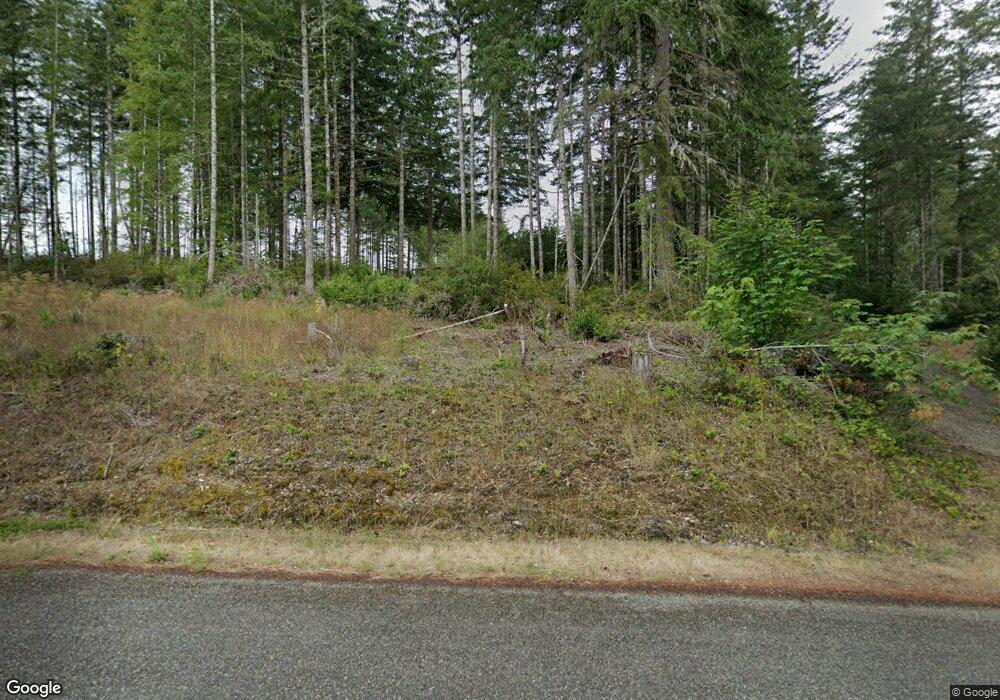
1271 E Benson Lake Rd Grapeview, WA 98546
Estimated Value: $960,000 - $1,208,000
5
Beds
4
Baths
3,600
Sq Ft
$291/Sq Ft
Est. Value
About This Home
This home is located at 1271 E Benson Lake Rd, Grapeview, WA 98546 and is currently estimated at $1,047,214, approximately $290 per square foot. 1271 E Benson Lake Rd is a home located in Mason County with nearby schools including Grapeview Elementary/Middle School.
Ownership History
Date
Name
Owned For
Owner Type
Purchase Details
Closed on
May 12, 2005
Sold by
Zech Donald G
Bought by
Ayers Mark D and Ayers Dnitra
Current Estimated Value
Home Financials for this Owner
Home Financials are based on the most recent Mortgage that was taken out on this home.
Original Mortgage
$37,600
Outstanding Balance
$30,155
Interest Rate
7.25%
Mortgage Type
FHA
Estimated Equity
$1,017,059
Create a Home Valuation Report for This Property
The Home Valuation Report is an in-depth analysis detailing your home's value as well as a comparison with similar homes in the area
Purchase History
| Date | Buyer | Sale Price | Title Company |
|---|---|---|---|
| Ayers Mark D | $376,000 | First American Title |
Source: Public Records
Mortgage History
| Date | Status | Borrower | Loan Amount |
|---|---|---|---|
| Open | Ayers Mark D | $37,600 | |
| Open | Ayers Mark D | $300,800 |
Source: Public Records
Tax History
| Year | Tax Paid | Tax Assessment Tax Assessment Total Assessment is a certain percentage of the fair market value that is determined by local assessors to be the total taxable value of land and additions on the property. | Land | Improvement |
|---|---|---|---|---|
| 2025 | $6,857 | $913,705 | $103,115 | $810,590 |
| 2024 | $6,857 | $926,110 | $100,110 | $826,000 |
| 2023 | $6,117 | $727,910 | $91,845 | $636,065 |
| 2022 | $5,218 | $600,735 | $72,065 | $528,670 |
| 2021 | $4,610 | $600,735 | $72,065 | $528,670 |
| 2020 | $3,847 | $497,030 | $62,125 | $434,905 |
| 2018 | $4,815 | $418,745 | $52,530 | $366,215 |
| 2017 | $4,463 | $418,800 | $52,585 | $366,215 |
| 2016 | $3,340 | $404,695 | $49,145 | $355,550 |
| 2015 | $3,379 | $300,990 | $43,650 | $257,340 |
| 2014 | -- | $300,990 | $43,650 | $257,340 |
| 2013 | -- | $300,990 | $43,650 | $257,340 |
Source: Public Records
Map
Nearby Homes
- 0 TR 3 E Mason Lake Rd
- 0 TR 4 E Mason Lake Rd
- 200 E Roos Ct
- 381 E Benson Ridge Rd
- 2980 E Mason Lake Dr E
- 350 E Olympic Dr
- 920 E Mason Lake Dr S
- 0 E Savage Ln
- 151 E Kingsley Place
- 0 E Twanoh Heights Rd N Unit NWM2454609
- 148 E Fox Run Ln
- 151 E Hillside Dr
- 61 E Woods Place
- 900 930 E Wilson Way
- 900 E Wilson Way
- 930 E Wilson Way
- 2 Lot E Rasor (& E Trails End) Rd
- 1 Lot Rasor (& E Trails End) Rd
- 670 E Wilson Way
- 5031 E Rasor Rd W
- 1271 E Benson Lake Dr
- 1301 E Benson Lake Dr
- 1305 E Benson Lake Dr
- 1280 E Benson Lake Dr
- 720 E E Benson Ridge Rd
- 1240 E Benson Lake Dr
- 1260 E Benson Lake Dr
- 1310 E Benson Lake Dr
- 720 E Benson Ridge Rd
- 1210 E Benson Lake Rd
- 1210 E Benson Lake Dr
- 1350 E Benson Lake Dr
- 1370 E Benson Lake Dr
- 1190 E Benson Lake Dr
- 1170 E Benson Lake Dr
- 1390 E Benson Lake Dr
- 1160 E Benson Lake Dr
- 1452 E Benson Lake Dr
- 1150 E Benson Lake Dr
- 1450 E Benson Lake Dr
Your Personal Tour Guide
Ask me questions while you tour the home.
