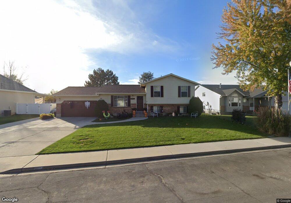
1271 Farm Lane Cir Orem, UT 84057
Windsor NeighborhoodEstimated Value: $500,000 - $583,000
3
Beds
1
Bath
1,218
Sq Ft
$440/Sq Ft
Est. Value
About This Home
This home is located at 1271 Farm Lane Cir, Orem, UT 84057 and is currently estimated at $535,343, approximately $439 per square foot. 1271 Farm Lane Cir is a home located in Utah County with nearby schools including Windsor School, Canyon View Junior High School, and Timpanogos High School.
Ownership History
Date
Name
Owned For
Owner Type
Purchase Details
Closed on
Feb 14, 1997
Sold by
Petrakovitz Anton W and Petrakovitz Coralee
Bought by
Brown Mark D and Brown Beverly N
Current Estimated Value
Home Financials for this Owner
Home Financials are based on the most recent Mortgage that was taken out on this home.
Original Mortgage
$140,080
Outstanding Balance
$15,979
Interest Rate
7.66%
Mortgage Type
VA
Estimated Equity
$519,364
Create a Home Valuation Report for This Property
The Home Valuation Report is an in-depth analysis detailing your home's value as well as a comparison with similar homes in the area
Home Values in the Area
Average Home Value in this Area
Purchase History
| Date | Buyer | Sale Price | Title Company |
|---|---|---|---|
| Brown Mark D | -- | First American Title |
Source: Public Records
Mortgage History
| Date | Status | Borrower | Loan Amount |
|---|---|---|---|
| Open | Brown Mark D | $140,080 |
Source: Public Records
Tax History Compared to Growth
Tax History
| Year | Tax Paid | Tax Assessment Tax Assessment Total Assessment is a certain percentage of the fair market value that is determined by local assessors to be the total taxable value of land and additions on the property. | Land | Improvement |
|---|---|---|---|---|
| 2025 | $2,036 | $267,685 | $267,100 | $219,600 |
| 2024 | $2,036 | $248,930 | $0 | $0 |
| 2023 | $1,921 | $252,505 | $0 | $0 |
| 2022 | $2,006 | $255,420 | $0 | $0 |
| 2021 | $1,722 | $332,000 | $159,500 | $172,500 |
| 2020 | $1,565 | $296,700 | $127,600 | $169,100 |
| 2019 | $1,393 | $274,600 | $127,600 | $147,000 |
| 2018 | $1,419 | $267,300 | $120,300 | $147,000 |
| 2017 | $1,258 | $126,940 | $0 | $0 |
| 2016 | $1,287 | $119,735 | $0 | $0 |
| 2015 | $1,337 | $117,645 | $0 | $0 |
| 2014 | $1,330 | $116,435 | $0 | $0 |
Source: Public Records
Map
Nearby Homes
- 1178 N 200 E
- 1095 N 200 E
- 318 E 1250 N
- 1060 N 100 W
- 1050 N 100 W
- 1062 N 150 W
- 225 W 1390 N
- 375 E 1600 St N Unit 8
- 193 E 1570 N
- 330 E 1600 St N
- 1039 N 150 W
- 1614 N 160 E
- 1480 N 430 E
- 917 N Garden Dr
- 1384 N 450 E
- 332 W Amiron Way Unit D
- 222 E 905 N
- 1438 N Amiron Way Unit B
- 145 W 905 N
- 1527 N 275 St W Unit 4
- 1283 N 90 E
- 1259 Farm Lane Cir
- 1283 Farm Lane Cir
- 1272 Farm Lane Cir
- 1247 Farm Lane Cir
- 1284 Farm Lane Cir
- 1260 Farm Lane Cir
- 1286 N 50 E
- 76 E 1300 N
- 1276 N 50 E
- 1290 N 50 E
- 1296 Farm Lane Cir
- 1235 Farm Lane Cir
- 1248 Farm Lane Cir
- 1266 N 50 E
- 1298 N 50 E
- 1256 N 50 E
- 1308 Farm Lane Cir
- 1231 Farm Lane Cir
- 1311 Farm Lane Cir