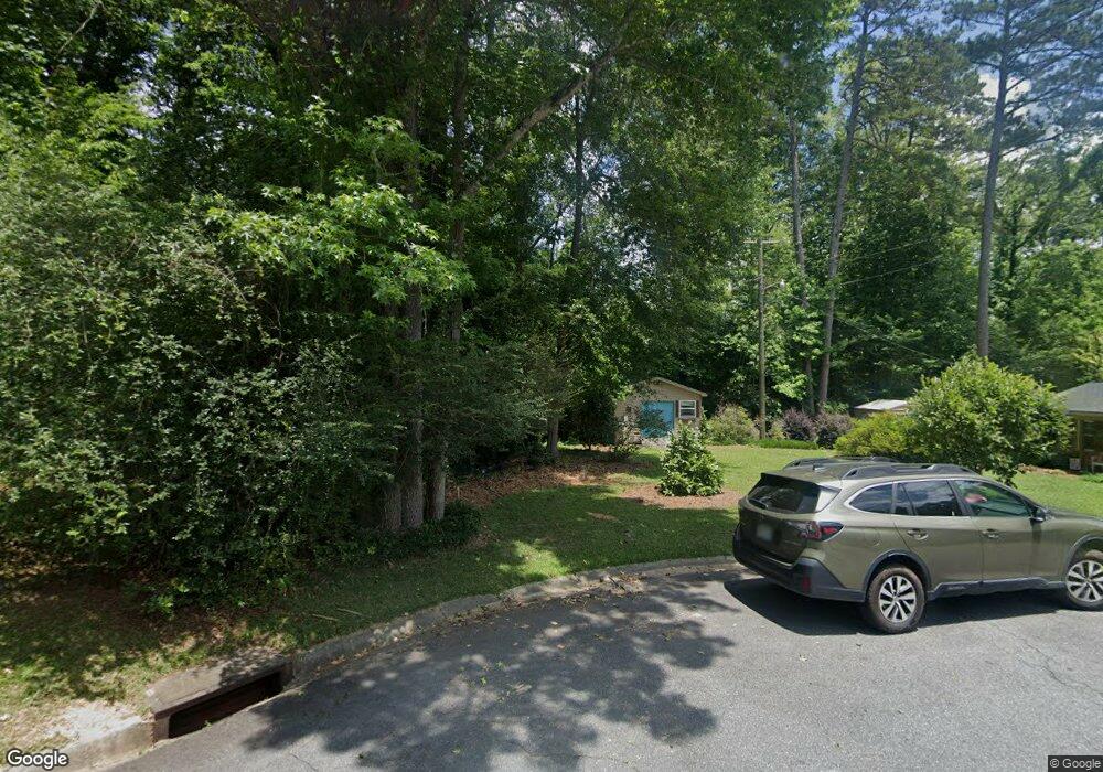
1271 Newport Rd Macon, GA 31210
Estimated Value: $105,214 - $249,000
--
Bed
--
Bath
--
Sq Ft
6.5
Acres
About This Home
This home is located at 1271 Newport Rd, Macon, GA 31210 and is currently estimated at $154,405. 1271 Newport Rd is a home with nearby schools including Lane Elementary School, Howard Middle School, and Howard High School.
Ownership History
Date
Name
Owned For
Owner Type
Purchase Details
Closed on
Nov 17, 2023
Sold by
Smith Joseph Bruce and Smith Wanda
Bought by
Emerson Justin Lamar and Emerson Candice Hope
Current Estimated Value
Home Financials for this Owner
Home Financials are based on the most recent Mortgage that was taken out on this home.
Original Mortgage
$284,905
Outstanding Balance
$277,858
Interest Rate
5.88%
Mortgage Type
New Conventional
Estimated Equity
-$123,453
Purchase Details
Closed on
Jul 25, 2008
Sold by
F & W Co Llc
Bought by
Adkins Justin
Create a Home Valuation Report for This Property
The Home Valuation Report is an in-depth analysis detailing your home's value as well as a comparison with similar homes in the area
Home Values in the Area
Average Home Value in this Area
Purchase History
| Date | Buyer | Sale Price | Title Company |
|---|---|---|---|
| Emerson Justin Lamar | $299,900 | None Listed On Document | |
| Adkins Justin | $6,500 | None Available |
Source: Public Records
Mortgage History
| Date | Status | Borrower | Loan Amount |
|---|---|---|---|
| Open | Emerson Justin Lamar | $284,905 |
Source: Public Records
Tax History Compared to Growth
Tax History
| Year | Tax Paid | Tax Assessment Tax Assessment Total Assessment is a certain percentage of the fair market value that is determined by local assessors to be the total taxable value of land and additions on the property. | Land | Improvement |
|---|---|---|---|---|
| 2025 | $406 | $16,506 | $15,587 | $919 |
| 2024 | $366 | $16,506 | $15,587 | $919 |
| 2023 | $419 | $16,506 | $15,587 | $919 |
| 2022 | $185 | $5,332 | $4,140 | $1,192 |
| 2021 | $203 | $5,332 | $4,140 | $1,192 |
| 2020 | $171 | $4,396 | $3,312 | $1,084 |
| 2019 | $172 | $4,396 | $3,312 | $1,084 |
| 2018 | $264 | $4,396 | $3,312 | $1,084 |
| 2017 | $159 | $4,231 | $3,147 | $1,084 |
| 2016 | $141 | $4,065 | $2,981 | $1,084 |
| 2015 | $183 | $3,734 | $2,650 | $1,084 |
| 2014 | $210 | $3,734 | $2,650 | $1,084 |
Source: Public Records
Map
Nearby Homes
- 1246 Newport Rd
- 3500 Northside Dr
- 1197 Matthews Place
- 161 Ten Knolls Dr
- 3602 Northside Dr
- 3622 Northside Dr
- 3640 Northside Dr
- 1161 Ousley Place
- 3678 Northside Dr
- 957 Laurel Oak Ct
- 938 Lundy Terrace
- 880 Winchester Cir
- 1051 Clairmont Place
- 770 Windsor Rd
- 3150 Misty Valley Ct
- 4070 Carrie Ct
- 1017 Clifton Dr
- 1031 Clifton Dr
- 753 Lokchapee Dr
- 4015 Elnora Dr
- 1263 Newport Rd
- 1263 Newport Rd
- 1426 Newport Rd
- 1258 Newport Rd
- 1255 Newport Rd
- 1243 Newport Rd
- 3470 Northside Dr
- 1234 Newport Rd
- 1233 Newport Rd
- 190 Ten Knolls Dr
- 1224 Newport Rd
- 1225 Newport Rd
- 185 Ten Knolls Dr
- 1211 Newport Rd
- 1212 Newport Rd
- 176 Ten Knolls Dr
- 168 Ten Knolls Dr
- 1209 Newport Rd
- 1200 Newport Rd
- 169 Ten Knolls Dr