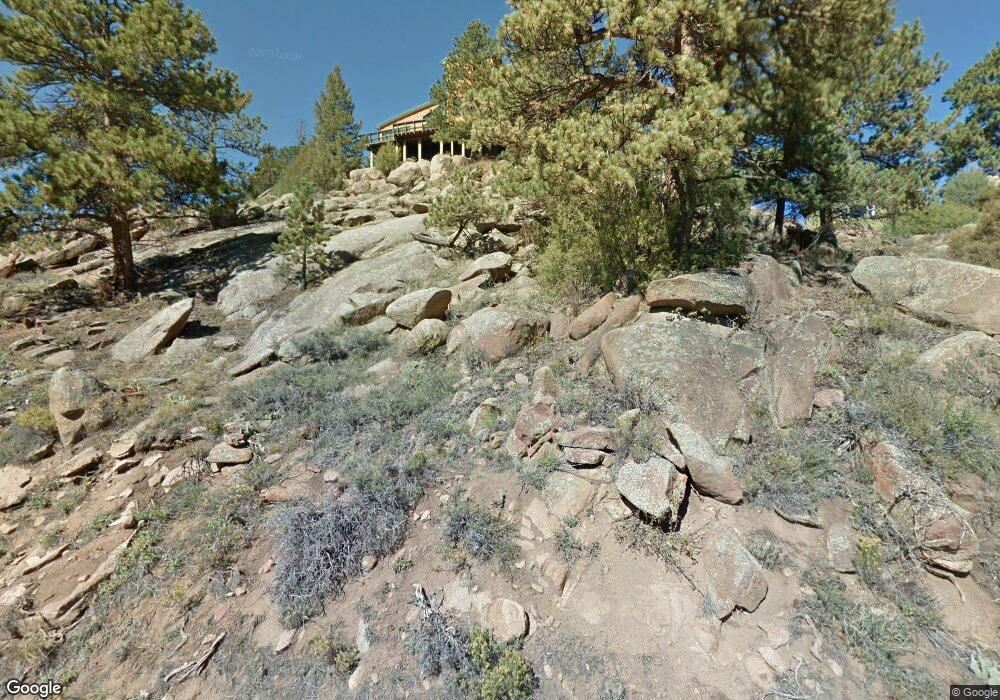
1271 Range View Rd Estes Park, CO 80517
Estimated Value: $906,978 - $1,079,000
3
Beds
3
Baths
2,214
Sq Ft
$449/Sq Ft
Est. Value
About This Home
This home is located at 1271 Range View Rd, Estes Park, CO 80517 and is currently estimated at $992,995, approximately $448 per square foot. 1271 Range View Rd is a home located in Larimer County with nearby schools including Estes Park K-5 School, Estes Park Options School, and Estes Park Middle School.
Ownership History
Date
Name
Owned For
Owner Type
Purchase Details
Closed on
Jan 19, 2016
Sold by
Peterson Cynthia S and Peterson Gregg A
Bought by
Peterson Gregg A and Peterson Cynthia S
Current Estimated Value
Purchase Details
Closed on
Sep 1, 1999
Sold by
Brown Nathalie B Walter R & Trustees
Bought by
Brown Walter Kendall and Brown Diane Todd
Purchase Details
Closed on
Jun 5, 1999
Sold by
Po Bx 3291 Brown Nathalie B Walter R
Bought by
Peterson Gregg A and Peterson Cynthia S
Purchase Details
Closed on
Feb 1, 1986
Bought by
Brown Nathalie B
Create a Home Valuation Report for This Property
The Home Valuation Report is an in-depth analysis detailing your home's value as well as a comparison with similar homes in the area
Home Values in the Area
Average Home Value in this Area
Purchase History
| Date | Buyer | Sale Price | Title Company |
|---|---|---|---|
| Peterson Gregg A | -- | None Available | |
| Brown Walter Kendall | -- | -- | |
| Peterson Gregg A | $300,000 | -- | |
| Brown Nathalie B | -- | -- |
Source: Public Records
Tax History Compared to Growth
Tax History
| Year | Tax Paid | Tax Assessment Tax Assessment Total Assessment is a certain percentage of the fair market value that is determined by local assessors to be the total taxable value of land and additions on the property. | Land | Improvement |
|---|---|---|---|---|
| 2025 | $3,267 | $56,769 | $28,140 | $28,629 |
| 2024 | $3,229 | $56,769 | $28,140 | $28,629 |
| 2022 | $2,566 | $41,840 | $13,831 | $28,009 |
| 2021 | $2,634 | $43,044 | $14,229 | $28,815 |
| 2020 | $2,157 | $36,108 | $14,229 | $21,879 |
| 2019 | $2,141 | $36,108 | $14,229 | $21,879 |
| 2018 | $1,753 | $30,168 | $13,320 | $16,848 |
| 2017 | $1,763 | $30,168 | $13,320 | $16,848 |
| 2016 | $2,123 | $28,656 | $14,726 | $13,930 |
| 2015 | $2,096 | $30,270 | $14,730 | $15,540 |
| 2014 | $1,874 | $26,340 | $17,910 | $8,430 |
Source: Public Records
Map
Nearby Homes
- 810 Larkspur Rd
- 1401 High Dr
- 811 Larkspur Rd
- 831 Larkspur Rd
- 870 Moraine Ave
- 739 Larkspur Rd
- 725 Upper Larkspur Ln
- 677 Cedar Ridge Cir Unit 5
- 683 Cedar Ridge Cir Unit 2
- 1611 High Dr
- 658 Cedar Ridge Cir Unit 1
- 1565 Highway 66 Unit 46
- 1565 Highway 66 Unit 33
- 1565 Highway 66 Unit 27
- 1565 Highway 66 Unit 49
- 1565 Highway 66 Unit 28
- 1263 Broadview
- 647 Park River Place Unit 647
- 1141 Wallace Ln
- 6161 36
- 1270 Range View Rd
- 1265 Range View Rd
- 550 Range View Ct
- 1264 Range View Rd
- 640 Highview Ct
- 570 Heinz Pkwy
- 660 Highview Ct
- 0 Range View Rd Unit 637686
- 1311 Range View Rd
- 470 Olympus Rd
- 511 Range View Ct
- 1260 Range View Rd
- 671 Highview Ct
- 650 Heinz Pkwy
- 680 Heinz Pkwy
- 1101 Sunrise Ln
- 450 Olympus Rd
- 680 Highview Ct
- 1235 Sunrise Ln
- 560 Heinz Pkwy