Estimated Value: $106,000 - $157,000
2
Beds
1
Bath
880
Sq Ft
$141/Sq Ft
Est. Value
About This Home
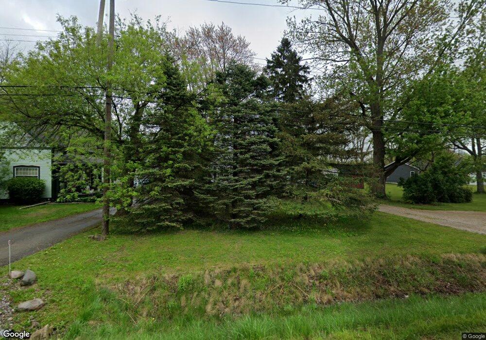
This home is located at 1271 S Dye Rd, Flint, MI 48532 and is currently estimated at $123,936, approximately $140 per square foot. 1271 S Dye Rd is a home located in Genesee County with nearby schools including Carman-Ainsworth High School, Genesee STEM Academy, and St. Paul Lutheran School.
Ownership History
Date
Name
Owned For
Owner Type
Purchase Details
Closed on
Sep 16, 2009
Sold by
Anthony Bradley and Anthony Julie
Bought by
Jpmorgan Chase Bank Na
Current Estimated Value
Purchase Details
Closed on
Jul 13, 2005
Sold by
Anthony Bradley and Anthony Julie
Bought by
Anthony Bradley and Anthony Julie
Home Financials for this Owner
Home Financials are based on the most recent Mortgage that was taken out on this home.
Original Mortgage
$87,000
Interest Rate
6.12%
Mortgage Type
Purchase Money Mortgage
Purchase Details
Closed on
Feb 28, 2003
Sold by
Bonar Kenneth P and Bonar Genevieve A
Bought by
Anthony Bradley
Purchase Details
Closed on
Sep 4, 2002
Sold by
Bonar Kenneth P and Bonar Genevieve A
Bought by
Fairbanks Capital Corp and Credit Suisse First Boston
Purchase Details
Closed on
Jun 14, 2000
Sold by
Bonar Kenneth P
Bought by
Ford Consumer Finance Company Inc and Associates Home Equity Services Inc
Create a Home Valuation Report for This Property
The Home Valuation Report is an in-depth analysis detailing your home's value as well as a comparison with similar homes in the area
Home Values in the Area
Average Home Value in this Area
Purchase History
| Date | Buyer | Sale Price | Title Company |
|---|---|---|---|
| Jpmorgan Chase Bank Na | $22,750 | None Available | |
| Anthony Bradley | -- | Titlequest Agency | |
| Anthony Bradley | $94,000 | Guaranty Title Company | |
| Fairbanks Capital Corp | $73,030 | -- | |
| Ford Consumer Finance Company Inc | $56,000 | -- |
Source: Public Records
Mortgage History
| Date | Status | Borrower | Loan Amount |
|---|---|---|---|
| Previous Owner | Anthony Bradley | $87,000 |
Source: Public Records
Tax History
| Year | Tax Paid | Tax Assessment Tax Assessment Total Assessment is a certain percentage of the fair market value that is determined by local assessors to be the total taxable value of land and additions on the property. | Land | Improvement |
|---|---|---|---|---|
| 2025 | $2,287 | $52,400 | $0 | $0 |
| 2024 | $1,488 | $51,200 | $0 | $0 |
| 2023 | $1,407 | $44,800 | $0 | $0 |
| 2022 | $717 | $35,100 | $0 | $0 |
| 2021 | $702 | $32,200 | $0 | $0 |
| 2020 | $1,276 | $31,900 | $0 | $0 |
| 2019 | $1,276 | $31,700 | $0 | $0 |
| 2018 | $2,039 | $34,200 | $0 | $0 |
| 2017 | $1,977 | $34,200 | $0 | $0 |
| 2016 | $2,013 | $32,800 | $0 | $0 |
| 2015 | $1,860 | $32,800 | $0 | $0 |
| 2014 | $1,331 | $31,800 | $0 | $0 |
| 2012 | -- | $32,900 | $32,900 | $0 |
Source: Public Records
Map
Nearby Homes
- 1161 S Dye Rd
- 1460 S Dye Rd
- 0000 Reuben Reuben St
- 3.9 Acres W Court St
- 1417 Grassmere Ave
- 2052 S Dye Rd
- 2 Charter Dr
- 0 Charter Dr Unit 50153638
- 4480 Corunna Rd
- 5423 Meadowcrest Dr
- 4474 Corunna Rd
- 5526 Corunna Rd
- 6090 Lancaster Dr
- 5323 Elmsford Dr
- 1455 S Linden Rd
- 6007 Corunna Rd
- 5227 Dania St
- 5290 Brobeck St
- 1034 Normandy Terrace Dr
- 5200 Elko St
- 1265 S Dye Rd
- 1283 S Dye Rd
- 1297 S Dye Rd
- 1309 S Dye Rd
- 1249 S Dye Rd
- 5343 Birchtree Ct
- 1329 S Dye Rd
- 5331 S Dyewood Dr
- 5321 S Dyewood Dr
- 1229 S Dye Rd
- 5347 Birchtree Ct
- 5282 Mapletree Dr
- 5341 Birchtree Ct
- 5311 S Dyewood Dr
- 1333 S Dye Rd
- 1205 S Dye Rd
- 5301 S Dyewood Dr
- 5292 Mapletree Dr
- 5344 Birchtree Ct
- 5214 W Court St
Your Personal Tour Guide
Ask me questions while you tour the home.