Estimated Value: $372,000 - $439,000
3
Beds
3
Baths
2,340
Sq Ft
$173/Sq Ft
Est. Value
About This Home
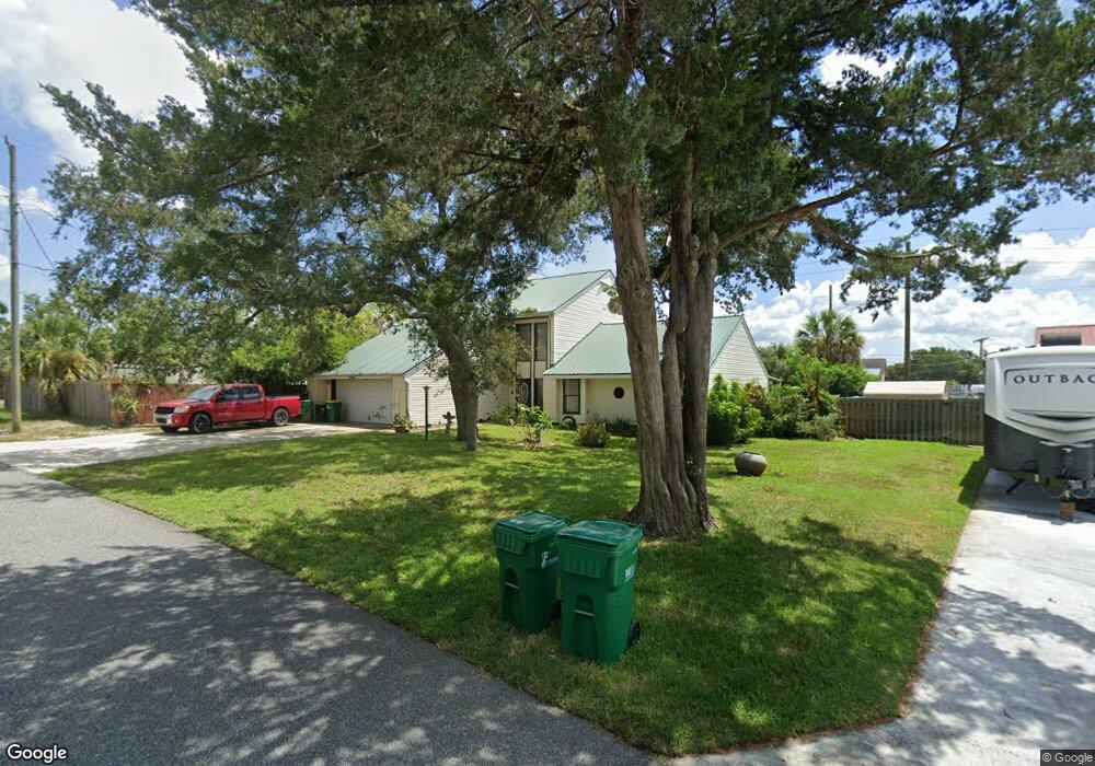
This home is located at 1271 Vineland St, Cocoa, FL 32927 and is currently estimated at $405,842, approximately $173 per square foot. 1271 Vineland St is a home located in Brevard County with nearby schools including Atlantis Elementary School, Space Coast Junior/Senior High School, and East Atlantic Prep of Brevard County.
Ownership History
Date
Name
Owned For
Owner Type
Purchase Details
Closed on
Nov 2, 2020
Sold by
Clark Danny L
Bought by
Clark Danny L and The Danny L Clark Trust
Current Estimated Value
Purchase Details
Closed on
Jan 22, 1999
Sold by
Somerville Darlene R
Bought by
Clark Danny L and Clark Joan
Home Financials for this Owner
Home Financials are based on the most recent Mortgage that was taken out on this home.
Original Mortgage
$106,080
Outstanding Balance
$24,520
Interest Rate
6.72%
Mortgage Type
VA
Estimated Equity
$381,322
Create a Home Valuation Report for This Property
The Home Valuation Report is an in-depth analysis detailing your home's value as well as a comparison with similar homes in the area
Home Values in the Area
Average Home Value in this Area
Purchase History
| Date | Buyer | Sale Price | Title Company |
|---|---|---|---|
| Clark Danny L | -- | Accommodation | |
| Clark Danny L | $104,000 | -- |
Source: Public Records
Mortgage History
| Date | Status | Borrower | Loan Amount |
|---|---|---|---|
| Open | Clark Danny L | $106,080 |
Source: Public Records
Tax History Compared to Growth
Tax History
| Year | Tax Paid | Tax Assessment Tax Assessment Total Assessment is a certain percentage of the fair market value that is determined by local assessors to be the total taxable value of land and additions on the property. | Land | Improvement |
|---|---|---|---|---|
| 2025 | $1,811 | $129,320 | -- | -- |
| 2024 | $1,767 | $125,680 | -- | -- |
| 2023 | $1,767 | $122,020 | $0 | $0 |
| 2022 | $1,708 | $118,470 | $0 | $0 |
| 2021 | $1,714 | $115,020 | $0 | $0 |
| 2020 | $1,632 | $113,440 | $0 | $0 |
| 2019 | $1,569 | $110,890 | $0 | $0 |
| 2018 | $1,562 | $108,830 | $0 | $0 |
| 2017 | $1,556 | $106,600 | $0 | $0 |
| 2016 | $1,564 | $104,410 | $18,000 | $86,410 |
| 2015 | $1,587 | $103,690 | $15,000 | $88,690 |
| 2014 | $1,591 | $102,870 | $11,000 | $91,870 |
Source: Public Records
Map
Nearby Homes
- 6340 U S Route 1
- 6340 N Highway 1
- 1164 Aron St
- 672 Altura Dr
- 522 Clearview Dr
- 1108 Vineland St
- 6900 N Highway 1 Unit 6307
- 641 Lindsay Ave
- 780 Alcazar Ave
- 0 Fay Blvd Unit 1011912
- 7000 N Highway 1 Unit 104
- 7000 N Highway 1 Unit Gg-205
- 7000 N Highway 1 Unit GG103
- 7020 U S 1 Unit Ee-202
- 1015 Hibiscus St
- 453 Camel Cir
- 6575 Dallas Ave
- 7030 N Highway 1 Unit 101
- 7030 N Highway 1 Unit DD102
- 995 Barclay Dr
- 1261 Aron St
- 1261 Vineland St
- 1241 Aron St
- 1271 Aron St
- 760 West Ave
- 1251 Vineland St
- 1230 Vineland St
- 1231 Aron St
- 1260 Aron St
- 724 West Ave Unit 724
- 1241 Vineland St
- 730 Amor Dr
- 1221 Aron St
- 1220 Vineland St
- 1231 Vineland St
- 721 Amor Dr
- 700 West Ave Unit 716
- 700 West Ave Unit 716-71
- 700 West Ave Unit 726
- 704 West Ave Unit 726