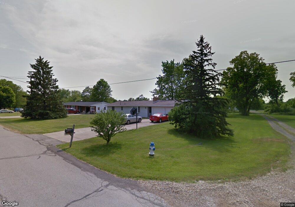
1271 Walcrest Dr Mansfield, OH 44903
Estimated Value: $170,000 - $207,000
3
Beds
1
Bath
1,320
Sq Ft
$146/Sq Ft
Est. Value
About This Home
This home is located at 1271 Walcrest Dr, Mansfield, OH 44903 and is currently estimated at $193,281, approximately $146 per square foot. 1271 Walcrest Dr is a home located in Richland County with nearby schools including Stingel Elementary School, Ontario Middle School, and Ontario High School.
Ownership History
Date
Name
Owned For
Owner Type
Purchase Details
Closed on
Jun 24, 1993
Sold by
Mccabe Gerald R
Bought by
Mccabe Gerald R
Current Estimated Value
Purchase Details
Closed on
Nov 10, 1992
Sold by
Rice Raymond C
Bought by
Mccabe Gerald R
Purchase Details
Closed on
Dec 16, 1991
Sold by
Balyeat Sandra A
Bought by
Rice Raymond C
Purchase Details
Closed on
Nov 1, 1985
Create a Home Valuation Report for This Property
The Home Valuation Report is an in-depth analysis detailing your home's value as well as a comparison with similar homes in the area
Home Values in the Area
Average Home Value in this Area
Purchase History
| Date | Buyer | Sale Price | Title Company |
|---|---|---|---|
| Mccabe Gerald R | $67,900 | -- | |
| Mccabe Gerald R | $50,000 | -- | |
| Rice Raymond C | $49,000 | -- | |
| -- | $36,500 | -- |
Source: Public Records
Tax History Compared to Growth
Tax History
| Year | Tax Paid | Tax Assessment Tax Assessment Total Assessment is a certain percentage of the fair market value that is determined by local assessors to be the total taxable value of land and additions on the property. | Land | Improvement |
|---|---|---|---|---|
| 2024 | $2,330 | $45,840 | $8,630 | $37,210 |
| 2023 | $2,330 | $45,840 | $8,630 | $37,210 |
| 2022 | $2,156 | $36,470 | $7,850 | $28,620 |
| 2021 | $2,160 | $36,470 | $7,850 | $28,620 |
| 2020 | $2,302 | $36,470 | $7,850 | $28,620 |
| 2019 | $2,142 | $30,900 | $6,650 | $24,250 |
| 2018 | $1,829 | $30,900 | $6,650 | $24,250 |
| 2017 | $1,805 | $30,900 | $6,650 | $24,250 |
| 2016 | $1,809 | $30,870 | $6,450 | $24,420 |
| 2015 | $1,809 | $30,870 | $6,450 | $24,420 |
| 2014 | $1,807 | $30,870 | $6,450 | $24,420 |
| 2012 | $848 | $31,830 | $6,650 | $25,180 |
Source: Public Records
Map
Nearby Homes
- 895 State Route 314 N
- 1671 State Route 314 N
- 1689 Ohio 314
- 1689 State Route 314
- 832 State Route 314 N
- 4451 Beam Rd
- 1025 Elizabeth Ave
- 4825 Lincoln Hwy
- 3251 Cookton Grange Rd
- 0 Rudy Rd
- 56 Lexington Ontario Rd
- 5263 Lincoln Hwy
- 1970 Rock Rd
- 0 Alexander Dr
- 1085 Lewis Rd
- 3436 Ridgestone Ct
- 3308 Park Ave W
- 3541 Oakstone Dr
- 3320 Oakstone Dr
- 5380 Lincoln Hwy
- 1261 Walcrest Dr
- 1285 Walcrest Dr
- 1251 Walcrest Dr
- 1295 Walcrest Dr
- 1272 Walcrest Dr
- 1262 Walcrest Dr
- 1241 Walcrest Dr
- 1284 Walcrest Dr
- 1252 Walcrest Dr
- 1305 Walcrest Dr
- 1294 Walcrest Dr
- 1231 Walcrest Dr
- 1304 Walcrest Dr
- 1232 Walcrest Dr
- 1222 Walcrest Dr
- 1211 Walcrest Dr
- 1212 Walcrest Dr
- 1201 Walcrest Dr
- 1191 Walcrest Dr
- 1192 Walcrest Dr