Estimated Value: $198,000 - $247,000
3
Beds
1
Bath
1,316
Sq Ft
$169/Sq Ft
Est. Value
About This Home
This home is located at 12710 State Route Cc, Rolla, MO 65401 and is currently estimated at $222,500, approximately $169 per square foot. 12710 State Route Cc is a home located in Phelps County with nearby schools including Rolla Junior High School, Rolla Senior High School, and Immanuel Lutheran School.
Ownership History
Date
Name
Owned For
Owner Type
Purchase Details
Closed on
Aug 10, 2015
Current Estimated Value
Purchase Details
Closed on
Aug 4, 2009
Purchase Details
Closed on
Nov 1, 1993
Purchase Details
Closed on
Aug 4, 1988
Purchase Details
Closed on
Jan 13, 1987
Purchase Details
Closed on
May 16, 1975
Purchase Details
Closed on
May 2, 1972
Purchase Details
Closed on
Apr 5, 1969
Purchase Details
Closed on
Apr 1, 1969
Create a Home Valuation Report for This Property
The Home Valuation Report is an in-depth analysis detailing your home's value as well as a comparison with similar homes in the area
Home Values in the Area
Average Home Value in this Area
Purchase History
| Date | Buyer | Sale Price | Title Company |
|---|---|---|---|
| -- | -- | -- | |
| -- | -- | -- | |
| -- | -- | -- | |
| -- | -- | -- | |
| -- | -- | -- | |
| -- | -- | -- | |
| -- | -- | -- | |
| -- | -- | -- | |
| -- | -- | -- |
Source: Public Records
Tax History
| Year | Tax Paid | Tax Assessment Tax Assessment Total Assessment is a certain percentage of the fair market value that is determined by local assessors to be the total taxable value of land and additions on the property. | Land | Improvement |
|---|---|---|---|---|
| 2025 | $483 | $9,000 | $4,430 | $4,570 |
| 2024 | $474 | $9,280 | $5,130 | $4,150 |
| 2023 | $477 | $9,280 | $5,130 | $4,150 |
| 2022 | $658 | $15,230 | $5,130 | $10,100 |
| 2021 | $664 | $15,230 | $5,130 | $10,100 |
| 2020 | $621 | $13,920 | $5,130 | $8,790 |
| 2019 | $617 | $13,920 | $5,130 | $8,790 |
| 2018 | $611 | $13,920 | $5,130 | $8,790 |
| 2017 | $610 | $13,920 | $5,130 | $8,790 |
| 2016 | $589 | $13,920 | $5,130 | $8,790 |
| 2015 | -- | $13,920 | $5,130 | $8,790 |
| 2014 | -- | $13,920 | $5,130 | $8,790 |
Source: Public Records
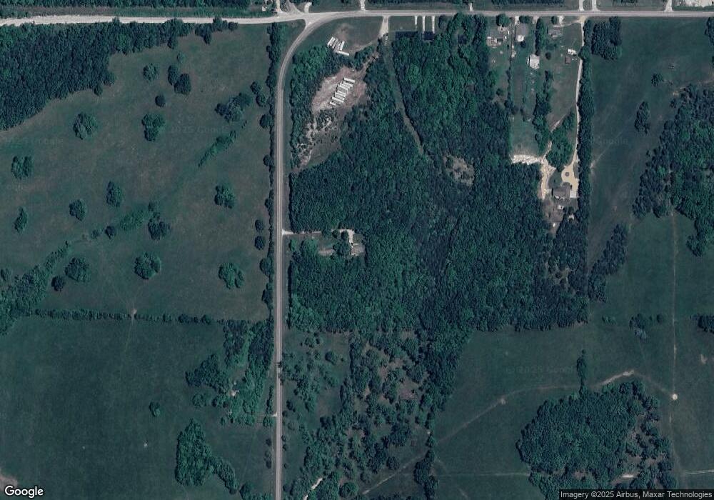
Map
Nearby Homes
- 12385 State Route Cc
- 11479 Cedar Grove Ln
- 12791 State Route Cc
- 550 Maplewood Dr
- 588 Basswood Dr
- 604 Basswood Dr
- 13600 County Road 7040
- 611 Penny Ln
- 0 Columbia Avenue Lot 12 Unit 18039501
- 922 Oak Lane Dr Unit 926
- 0 Columbia Avenue Lot 20 Unit 18039513
- 0 Columbia Avenue Lot 21 Unit 18039514
- 0 Yale Avenue Lot 43 Unit 18039529
- 0 Yale Avenue Lot 44 Unit 18039532
- 0 Yale Avenue Lot 45 Unit 18039534
- 0 Yale Avenue Lot 48 Unit 18039578
- 211 S Adrian Ave
- TBD Shady Ln
- 233 Sunny Dr
- 200 Brady Dr
- 12710 State Route Cc
- 12710 State Route Cc
- 12575 State Route Cc
- 12657 County Road 7060
- 12540 State Route Cc
- 12655 County Road 7060
- 12535 State Route Cc
- 12510 State Route Cc
- 12490 State Route Cc
- 12580 County Road 7060
- 12446 State Route Cc Unit 12450
- 12455 State Route Cc
- 12560 County Road 7060
- 12545 County Road 7060
- 12355 State Highway Cc
- 12355 State Route Cc
- 12355 State Route Cc
- 12540 County Road 7060
- 12345 State Route Cc
- 12270 State Route Cc
Your Personal Tour Guide
Ask me questions while you tour the home.