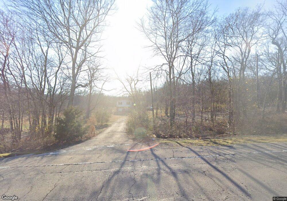
12711 Highway 82 Tahlequah, OK 74464
Estimated Value: $233,229 - $289,000
3
Beds
2
Baths
2,232
Sq Ft
$116/Sq Ft
Est. Value
About This Home
This home is located at 12711 Highway 82, Tahlequah, OK 74464 and is currently estimated at $259,557, approximately $116 per square foot. 12711 Highway 82 is a home located in Cherokee County with nearby schools including Peggs Public School.
Ownership History
Date
Name
Owned For
Owner Type
Purchase Details
Closed on
Sep 8, 2009
Sold by
Moore Ronald W and Moore Mary K
Bought by
Vancamp Teresa
Current Estimated Value
Home Financials for this Owner
Home Financials are based on the most recent Mortgage that was taken out on this home.
Original Mortgage
$120,000
Outstanding Balance
$78,440
Interest Rate
5.26%
Mortgage Type
New Conventional
Estimated Equity
$181,117
Purchase Details
Closed on
Aug 9, 2005
Sold by
Richards Evin Kenneth and Richards Evin Kenneth
Bought by
Moore Mary K and More Ronald W
Home Financials for this Owner
Home Financials are based on the most recent Mortgage that was taken out on this home.
Original Mortgage
$115,000
Interest Rate
5.51%
Mortgage Type
New Conventional
Purchase Details
Closed on
Dec 29, 2000
Sold by
Joseph and Francine Rozell
Bought by
Evin and Becky Richards
Create a Home Valuation Report for This Property
The Home Valuation Report is an in-depth analysis detailing your home's value as well as a comparison with similar homes in the area
Home Values in the Area
Average Home Value in this Area
Purchase History
| Date | Buyer | Sale Price | Title Company |
|---|---|---|---|
| Vancamp Teresa | $150,000 | None Available | |
| Moore Mary K | $115,000 | American Eagle Title Insuran | |
| Evin | $98,000 | -- |
Source: Public Records
Mortgage History
| Date | Status | Borrower | Loan Amount |
|---|---|---|---|
| Open | Vancamp Teresa | $120,000 | |
| Previous Owner | Moore Mary K | $115,000 |
Source: Public Records
Tax History Compared to Growth
Tax History
| Year | Tax Paid | Tax Assessment Tax Assessment Total Assessment is a certain percentage of the fair market value that is determined by local assessors to be the total taxable value of land and additions on the property. | Land | Improvement |
|---|---|---|---|---|
| 2025 | $963 | $14,027 | $2,024 | $12,003 |
| 2024 | $963 | $13,493 | $2,024 | $11,469 |
| 2023 | $963 | $12,850 | $2,024 | $10,826 |
| 2022 | $874 | $12,239 | $2,259 | $9,980 |
| 2021 | $873 | $12,229 | $2,257 | $9,972 |
| 2020 | $831 | $11,646 | $2,149 | $9,497 |
| 2019 | $792 | $11,091 | $2,047 | $9,044 |
| 2018 | $754 | $10,565 | $1,950 | $8,615 |
| 2017 | $718 | $10,061 | $2,024 | $8,037 |
| 2016 | $742 | $10,394 | $2,357 | $8,037 |
| 2015 | $840 | $12,087 | $2,024 | $10,063 |
| 2014 | $840 | $12,087 | $2,024 | $10,063 |
Source: Public Records
Map
Nearby Homes
- 17099 E Clover Cir
- 15318 W Jones Rd
- 0 W Jones Rd
- 11388 Hwy 82
- 17564 W Grandview Dr
- 11077 N Elm Grove Rd
- 13552 State Highway 82
- 17540 W Tray
- 212 W Calista Dr
- 17844 E 688 Rd
- 0 W Burchett Rd Unit 2518831
- 0 N Hwy 82 Hwy Unit 2518924
- 16759 W Burchett Rd
- 11457 N 510 Rd
- 12990 W Killabrew Rd
- 17022 W Grandview Rd
- 18079 E 680 Rd
- 12562 N Webster Rd
- 149 W Oak Hill Cir
- 20 W Grandview Rd
- 12708 Highway 82
- 12603 Highway 82
- 16018 W 710 Rd
- 12708 Highway 82c
- 12078 Hwy 82
- 16027 W 710 Rd
- 12592 Highway 82
- 16197 W 710 Rd
- 12459 Highway 82
- 12946 N 485 Rd
- 13006 Highway 82
- 12788 N 485 Rd
- 13101 N 492 Rd
- 12626 N 485 Rd
- 12791 N 485 Rd
- 12923 N 485 Rd
- 12541 N 485 Rd
- 12761 N 485 Rd
- 12817 N 485 Rd
- 13133 N 492 Rd