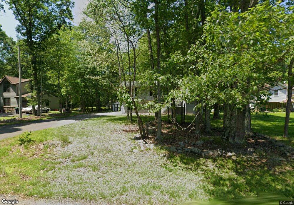
12712 Deer Path Dr East Stroudsburg, PA 18302
Estimated Value: $315,965 - $358,000
3
Beds
3
Baths
1,136
Sq Ft
$291/Sq Ft
Est. Value
About This Home
This home is located at 12712 Deer Path Dr, East Stroudsburg, PA 18302 and is currently estimated at $330,241, approximately $290 per square foot. 12712 Deer Path Dr is a home located in Monroe County with nearby schools including East Stroudsburg Elementary School, J.T. Lambert Intermediate School, and East Stroudsburg Senior High School South.
Ownership History
Date
Name
Owned For
Owner Type
Purchase Details
Closed on
Jul 20, 2018
Sold by
Burke Richard J and Burke Deborah E
Bought by
Cabreja Clariza A
Current Estimated Value
Home Financials for this Owner
Home Financials are based on the most recent Mortgage that was taken out on this home.
Original Mortgage
$121,286
Outstanding Balance
$107,330
Interest Rate
5.5%
Mortgage Type
FHA
Estimated Equity
$222,911
Purchase Details
Closed on
Oct 29, 1997
Bought by
Burke Richard J and Burke Deborah E
Create a Home Valuation Report for This Property
The Home Valuation Report is an in-depth analysis detailing your home's value as well as a comparison with similar homes in the area
Home Values in the Area
Average Home Value in this Area
Purchase History
| Date | Buyer | Sale Price | Title Company |
|---|---|---|---|
| Cabreja Clariza A | $149,000 | None Available | |
| Burke Richard J | $109,900 | -- |
Source: Public Records
Mortgage History
| Date | Status | Borrower | Loan Amount |
|---|---|---|---|
| Open | Cabreja Clariza A | $121,286 |
Source: Public Records
Tax History Compared to Growth
Tax History
| Year | Tax Paid | Tax Assessment Tax Assessment Total Assessment is a certain percentage of the fair market value that is determined by local assessors to be the total taxable value of land and additions on the property. | Land | Improvement |
|---|---|---|---|---|
| 2025 | $877 | $107,680 | $14,500 | $93,180 |
| 2024 | $734 | $107,680 | $14,500 | $93,180 |
| 2023 | $3,870 | $107,680 | $14,500 | $93,180 |
| 2022 | $3,921 | $107,680 | $14,500 | $93,180 |
| 2021 | $3,862 | $107,680 | $14,500 | $93,180 |
| 2020 | $3,921 | $107,680 | $14,500 | $93,180 |
| 2019 | $4,263 | $20,330 | $1,750 | $18,580 |
| 2018 | $4,263 | $20,330 | $1,750 | $18,580 |
| 2017 | $4,263 | $20,330 | $1,750 | $18,580 |
| 2016 | $3,837 | $20,330 | $1,750 | $18,580 |
| 2015 | -- | $20,330 | $1,750 | $18,580 |
| 2014 | -- | $20,330 | $1,750 | $18,580 |
Source: Public Records
Map
Nearby Homes
- 12723 Magnolia Dr
- 12104 Big Buck Ln
- 12036 Maplewood Dr
- 12044 Maplewood Dr
- 0 Green Meadow Dr
- Lot 24 Green Meadow Dr
- 6 Westridge Ct
- 28 Lenape Dr
- Lot 4 Adams Dr
- 0 Lenape Dr Unit Lot 31 & 32 763518
- 3584 Bristol Cir W
- Lot 253 Bristol Cir W
- 237 Footprint Rd
- 811 Knoll Dr
- lot 231 Tallyrand Dr
- 0 Lace Dr 24 Dr
- Lot18 Lenape Dr
- Lot 36 Lenape Dr
- 84 Lenape Dr
- Lot 31 & 32 Lenape Dr
- 12712 Magnolia Dr
- 12710 Magnolia Dr
- 12714 Deer Path Dr
- 12113 Big Buck Ln
- 12716 Magnolia Dr
- 12716 Deer Path Dr
- 12716 Deer Path Dr
- 12711 Magnolia Dr
- 12111 Big Buck Ln
- 12215 Big Buck Ln
- 12709 Magnolia Dr
- 12713 Deer Path Dr
- 12109 Big Buck Ln
- 12715 Magnolia Dr
- 12715 Deer Path Dr
- 12718 Deer Path Dr
- 69 Magnolia Dr
- 71 Magnolia Dr
- DEER Magnolia Dr
- 205 Magnolia Dr