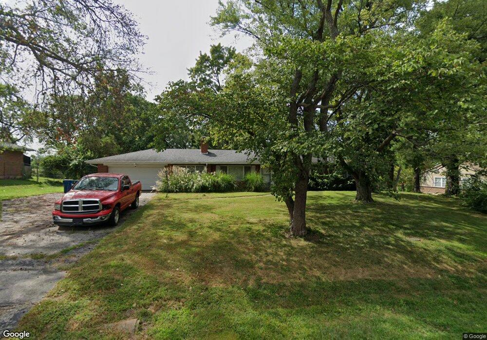
12715 Old Jamestown Rd Florissant, MO 63033
Estimated Value: $207,000 - $266,000
3
Beds
3
Baths
1,772
Sq Ft
$134/Sq Ft
Est. Value
About This Home
This home is located at 12715 Old Jamestown Rd, Florissant, MO 63033 and is currently estimated at $237,432, approximately $133 per square foot. 12715 Old Jamestown Rd is a home located in St. Louis County with nearby schools including Jury Elementary School, Central Middle School, and Hazelwood Central High School.
Ownership History
Date
Name
Owned For
Owner Type
Purchase Details
Closed on
Jul 16, 2004
Sold by
Lanpar Corp
Bought by
Foggy Peter
Current Estimated Value
Home Financials for this Owner
Home Financials are based on the most recent Mortgage that was taken out on this home.
Original Mortgage
$116,910
Outstanding Balance
$58,559
Interest Rate
6.26%
Mortgage Type
Purchase Money Mortgage
Estimated Equity
$178,873
Purchase Details
Closed on
Apr 16, 2004
Sold by
Polansky Samuel and Polansky Mary
Bought by
Lanpar Corp
Home Financials for this Owner
Home Financials are based on the most recent Mortgage that was taken out on this home.
Original Mortgage
$75,650
Interest Rate
5.61%
Mortgage Type
Purchase Money Mortgage
Create a Home Valuation Report for This Property
The Home Valuation Report is an in-depth analysis detailing your home's value as well as a comparison with similar homes in the area
Home Values in the Area
Average Home Value in this Area
Purchase History
| Date | Buyer | Sale Price | Title Company |
|---|---|---|---|
| Foggy Peter | $129,900 | -- | |
| Lanpar Corp | $89,000 | -- |
Source: Public Records
Mortgage History
| Date | Status | Borrower | Loan Amount |
|---|---|---|---|
| Open | Foggy Peter | $116,910 | |
| Previous Owner | Lanpar Corp | $75,650 |
Source: Public Records
Tax History Compared to Growth
Tax History
| Year | Tax Paid | Tax Assessment Tax Assessment Total Assessment is a certain percentage of the fair market value that is determined by local assessors to be the total taxable value of land and additions on the property. | Land | Improvement |
|---|---|---|---|---|
| 2025 | $3,587 | $40,980 | $5,640 | $35,340 |
| 2024 | $3,587 | $39,770 | $4,900 | $34,870 |
| 2023 | $3,579 | $39,770 | $4,900 | $34,870 |
| 2022 | $2,849 | $27,000 | $6,570 | $20,430 |
| 2021 | $2,725 | $27,000 | $6,570 | $20,430 |
| 2020 | $2,718 | $25,390 | $4,430 | $20,960 |
| 2019 | $2,681 | $25,390 | $4,430 | $20,960 |
| 2018 | $2,672 | $23,370 | $3,230 | $20,140 |
| 2017 | $2,668 | $23,370 | $3,230 | $20,140 |
| 2016 | $1,996 | $17,160 | $3,230 | $13,930 |
| 2015 | $1,950 | $17,160 | $3,230 | $13,930 |
| 2014 | $1,721 | $15,050 | $5,020 | $10,030 |
Source: Public Records
Map
Nearby Homes
- 12991 Mourville Ct
- 5239 Trailoaks Dr
- 13001 Kinsley Heights Dr
- 12701 Old Halls Ferry Rd
- 5226 Suntrail Dr
- 12582 Springtrail Dr
- 5348 Trailoaks Dr
- 5432 Trailbend Dr
- 13032 Kinsley Heights Dr
- 4847 Trees Edge Ln
- 13107 Ambrose Ct
- 4424 Cloverbrook Dr
- 4846 Trees Edge Ln
- 13145 Crestwood Bend Ln
- 4423 Cloverbrook Dr
- 4874 Trees Edge Ln
- 4870 Trees Edge Ln
- 13141 Crestwood Bend Ln
- 13144 Crestwood Bend Ln
- 4866 Trees Edge Ln
- 12725 Old Jamestown Rd
- 12705 Old Jamestown Rd
- 12724 Stoneridge Dr
- 12744 Stoneridge Dr
- 12714 Stoneridge Dr
- 12756 Old Jamestown Rd
- 12764 Stoneridge Dr
- 5004 Old Jamestown Forest Dr
- 12735 Old Jamestown Rd
- 5008 Old Jamestown Forest Dr
- 12675 Old Jamestown Rd
- 12784 Stoneridge Dr
- 12684 Stoneridge Dr
- 12723 Stoneridge Dr
- 12743 Stoneridge Dr
- 12713 Stoneridge Dr
- 5026 Marne Dr
- 5012 Old Jamestown Forest Dr
- 12745 Old Jamestown Rd
- 12763 Stoneridge Dr