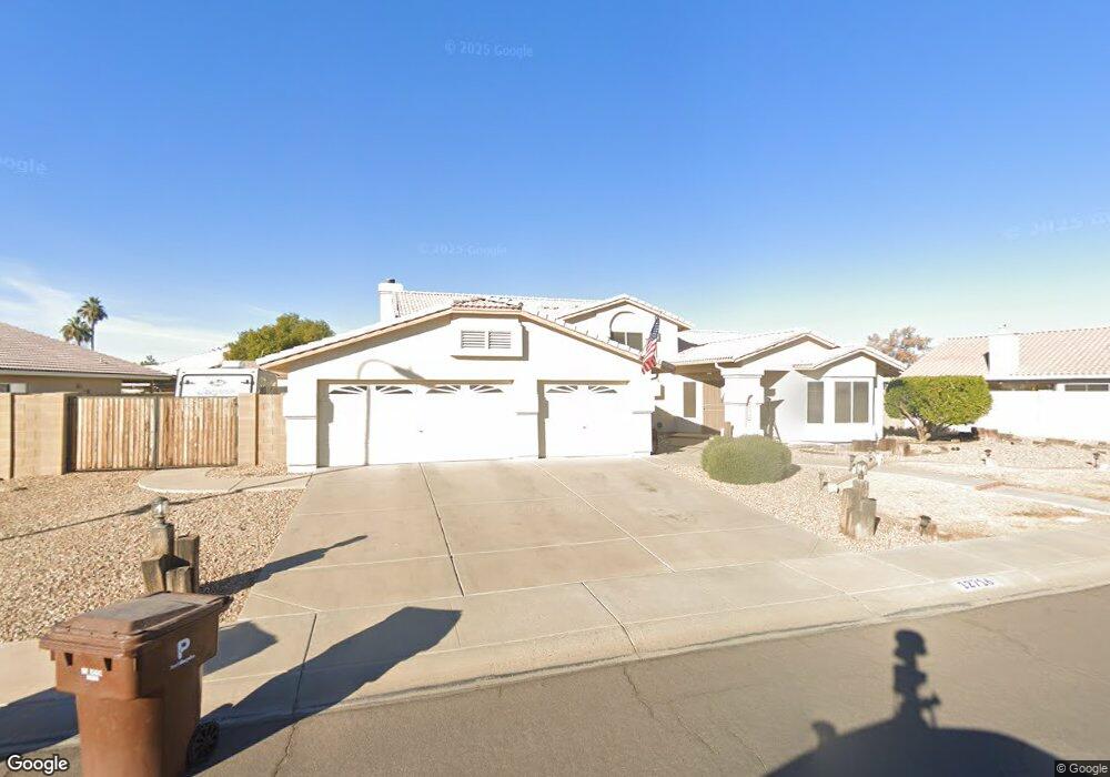
12716 N 77th Ave Peoria, AZ 85381
Estimated Value: $540,571 - $635,000
--
Bed
4
Baths
3,026
Sq Ft
$195/Sq Ft
Est. Value
About This Home
This home is located at 12716 N 77th Ave, Peoria, AZ 85381 and is currently estimated at $591,143, approximately $195 per square foot. 12716 N 77th Ave is a home located in Maricopa County with nearby schools including Oasis Elementary School, Centennial High School, and Living Word Academy.
Ownership History
Date
Name
Owned For
Owner Type
Purchase Details
Closed on
Feb 13, 2025
Sold by
Chase Mark T and Chase Leasa M
Bought by
Mark Chase Living Trust and Chase
Current Estimated Value
Purchase Details
Closed on
Jun 4, 1997
Sold by
Takinen Scott A and Takinen Tara S
Bought by
Chase Mark T and Chase Leasa M
Home Financials for this Owner
Home Financials are based on the most recent Mortgage that was taken out on this home.
Original Mortgage
$156,000
Interest Rate
7.58%
Mortgage Type
New Conventional
Create a Home Valuation Report for This Property
The Home Valuation Report is an in-depth analysis detailing your home's value as well as a comparison with similar homes in the area
Home Values in the Area
Average Home Value in this Area
Purchase History
| Date | Buyer | Sale Price | Title Company |
|---|---|---|---|
| Mark Chase Living Trust | -- | None Listed On Document | |
| Chase Mark T | $195,000 | North American Title Agency |
Source: Public Records
Mortgage History
| Date | Status | Borrower | Loan Amount |
|---|---|---|---|
| Previous Owner | Chase Mark T | $156,000 |
Source: Public Records
Tax History Compared to Growth
Tax History
| Year | Tax Paid | Tax Assessment Tax Assessment Total Assessment is a certain percentage of the fair market value that is determined by local assessors to be the total taxable value of land and additions on the property. | Land | Improvement |
|---|---|---|---|---|
| 2025 | $2,137 | $26,734 | -- | -- |
| 2024 | $2,100 | $25,461 | -- | -- |
| 2023 | $2,100 | $40,900 | $8,180 | $32,720 |
| 2022 | $2,057 | $32,100 | $6,420 | $25,680 |
| 2021 | $2,197 | $29,500 | $5,900 | $23,600 |
| 2020 | $2,221 | $29,320 | $5,860 | $23,460 |
| 2019 | $2,149 | $26,700 | $5,340 | $21,360 |
| 2018 | $2,058 | $25,510 | $5,100 | $20,410 |
| 2017 | $2,059 | $24,200 | $4,840 | $19,360 |
| 2016 | $2,023 | $22,950 | $4,590 | $18,360 |
| 2015 | $1,902 | $23,120 | $4,620 | $18,500 |
Source: Public Records
Map
Nearby Homes
- 12677 N 77th Dr
- 7725 W Dreyfus Dr
- 7537 W Dreyfus Dr
- 7813 W Dreyfus Dr
- 7544 W Dreyfus Dr
- 7825 W Bloomfield Rd
- 7418 W Corrine Dr
- 13051 N 75th Dr
- 7901 W Pershing Ave
- 7638 W Shaw Butte Dr
- 8007 W Corrine Dr
- 7301 W Sweetwater Ave
- 8102 W Windrose Dr Unit 1
- 7326 W Pershing Ave
- 8021 W Charter Oak Rd
- 7583 W Gelding Dr
- 7233 W Corrine Dr
- 7405 W Emile Zola Ave
- 7220 W Larkspur Dr
- 13158 N 81st Ave
- 12706 N 77th Ave
- 7703 W Aster Dr
- 7711 W Aster Dr
- 12707 N 77th Dr
- 7719 W Aster Dr
- 12696 N 77th Ave
- 7649 W Aster Dr
- 12697 N 77th Dr
- 7641 W Windrose Dr
- 7642 W Windrose Dr
- 12718 N 77th Dr
- 7641 W Aster Dr
- 12686 N 77th Ave
- 7702 W Aster Dr
- 7727 W Aster Dr
- 12687 N 77th Dr
- 7633 W Windrose Dr
- 7650 W Aster Dr
- 7633 W Aster Dr
- 7634 W Windrose Dr