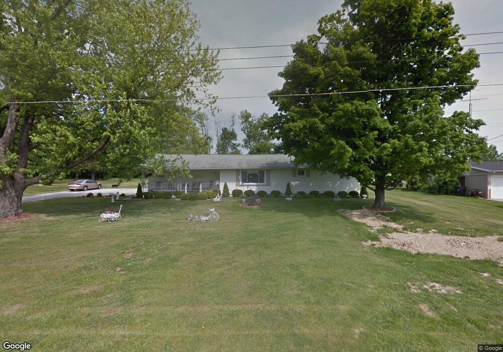
1272 Walcrest Dr Mansfield, OH 44903
Estimated Value: $165,000 - $220,000
4
Beds
1
Bath
1,442
Sq Ft
$136/Sq Ft
Est. Value
About This Home
This home is located at 1272 Walcrest Dr, Mansfield, OH 44903 and is currently estimated at $195,397, approximately $135 per square foot. 1272 Walcrest Dr is a home located in Richland County with nearby schools including Stingel Elementary School, Ontario Middle School, and Ontario High School.
Ownership History
Date
Name
Owned For
Owner Type
Purchase Details
Closed on
Feb 25, 2021
Sold by
Farrow Carl and Farrow Marilyn
Bought by
Moyer Pamela E
Current Estimated Value
Purchase Details
Closed on
Oct 26, 2004
Sold by
Farrow Carl E and Farrow Marilyn J
Bought by
Farrow Carl E and Farrow Marilyn J
Create a Home Valuation Report for This Property
The Home Valuation Report is an in-depth analysis detailing your home's value as well as a comparison with similar homes in the area
Home Values in the Area
Average Home Value in this Area
Purchase History
| Date | Buyer | Sale Price | Title Company |
|---|---|---|---|
| Moyer Pamela E | -- | None Available | |
| Moyer Pamela E | -- | None Available | |
| Farrow Carl E | -- | -- |
Source: Public Records
Tax History
| Year | Tax Paid | Tax Assessment Tax Assessment Total Assessment is a certain percentage of the fair market value that is determined by local assessors to be the total taxable value of land and additions on the property. | Land | Improvement |
|---|---|---|---|---|
| 2024 | $1,653 | $43,370 | $8,630 | $34,740 |
| 2023 | $1,719 | $43,370 | $8,630 | $34,740 |
| 2022 | $2,019 | $34,100 | $7,850 | $26,250 |
| 2021 | $2,022 | $34,100 | $7,850 | $26,250 |
| 2020 | $1,614 | $34,100 | $7,850 | $26,250 |
| 2019 | $1,407 | $28,900 | $6,650 | $22,250 |
| 2018 | $1,205 | $28,900 | $6,650 | $22,250 |
| 2017 | $1,186 | $28,900 | $6,650 | $22,250 |
| 2016 | $1,222 | $29,410 | $6,450 | $22,960 |
| 2015 | $1,217 | $29,410 | $6,450 | $22,960 |
| 2014 | $1,219 | $29,410 | $6,450 | $22,960 |
| 2012 | $579 | $30,320 | $6,650 | $23,670 |
Source: Public Records
Map
Nearby Homes
- 3872 Snodgrass Rd
- 1689 Ohio 314
- 3767 Cookton Grange Rd
- 2990 Hemlock Place
- 0 Rudy Rd
- 15 Lexington Ontario Rd
- 3880 Horizon Dr
- 5263 Lincoln Hwy
- 0 Rock Rd
- 3308 Park Ave W
- 3320 Oakstone Dr
- 5446 Lincoln Hwy
- 3516 Muirfield
- 3516 Muirfield Dr
- 4822 Flowers Rd
- 1260 Thrush Rd
- 683 Yeager Dr
- 2583 Deerfield Ln
- 1111 Bogey Dr
- 1114 Bogey Dr Unit 1114
- 1262 Walcrest Dr
- 1284 Walcrest Dr
- 1252 Walcrest Dr
- 1294 Walcrest Dr
- 1271 Walcrest Dr
- 1261 Walcrest Dr
- 1285 Walcrest Dr
- 1251 Walcrest Dr
- 1295 Walcrest Dr
- 1304 Walcrest Dr
- 1232 Walcrest Dr
- 1241 Walcrest Dr
- 1305 Walcrest Dr
- 1231 Walcrest Dr
- 1222 Walcrest Dr
- 1212 Walcrest Dr
- 1211 Walcrest Dr
- 1201 Walcrest Dr
- 1192 Walcrest Dr
- 1191 Walcrest Dr
Your Personal Tour Guide
Ask me questions while you tour the home.