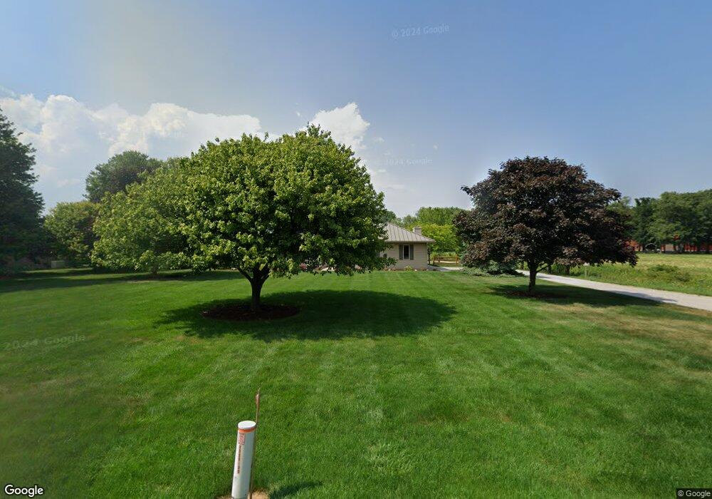
12720 County Road L Wauseon, OH 43567
Estimated Value: $285,604 - $341,000
1
Bed
1
Bath
1,584
Sq Ft
$197/Sq Ft
Est. Value
About This Home
This home is located at 12720 County Road L, Wauseon, OH 43567 and is currently estimated at $311,651, approximately $196 per square foot. 12720 County Road L is a home located in Fulton County with nearby schools including Delta Elementary School, Pike-Delta-York Middle School, and Pike-Delta-York High School.
Ownership History
Date
Name
Owned For
Owner Type
Purchase Details
Closed on
Oct 10, 2023
Sold by
Schultz Thomas E
Bought by
Thomas E Schultz Living Trust and Schultz
Current Estimated Value
Purchase Details
Closed on
Mar 5, 2003
Sold by
Schultz Thomas E and Schultz Linda G
Bought by
Schultz Thomas E and Schultz Linda G
Purchase Details
Closed on
Jan 1, 1990
Bought by
Schultz Thomas E and Schultz Linda
Create a Home Valuation Report for This Property
The Home Valuation Report is an in-depth analysis detailing your home's value as well as a comparison with similar homes in the area
Home Values in the Area
Average Home Value in this Area
Purchase History
| Date | Buyer | Sale Price | Title Company |
|---|---|---|---|
| Thomas E Schultz Living Trust | -- | None Listed On Document | |
| Schultz Thomas E | -- | None Listed On Document | |
| Schultz Thomas E | -- | None Listed On Document | |
| Schultz Thomas E | -- | -- | |
| Schultz Thomas E | -- | -- |
Source: Public Records
Tax History Compared to Growth
Tax History
| Year | Tax Paid | Tax Assessment Tax Assessment Total Assessment is a certain percentage of the fair market value that is determined by local assessors to be the total taxable value of land and additions on the property. | Land | Improvement |
|---|---|---|---|---|
| 2024 | $3,048 | $88,660 | $13,200 | $75,460 |
| 2023 | $3,230 | $88,660 | $13,200 | $75,460 |
| 2022 | $3,230 | $64,890 | $10,990 | $53,900 |
| 2021 | $3,329 | $64,890 | $10,990 | $53,900 |
| 2020 | $3,332 | $64,890 | $10,990 | $53,900 |
| 2019 | $2,843 | $58,070 | $9,940 | $48,130 |
| 2018 | $2,663 | $58,070 | $9,940 | $48,130 |
| 2017 | $2,666 | $58,070 | $9,940 | $48,130 |
| 2016 | $2,512 | $49,560 | $9,940 | $39,620 |
| 2015 | $2,389 | $49,560 | $9,940 | $39,620 |
| 2014 | $2,380 | $49,600 | $9,980 | $39,620 |
| 2013 | $2,800 | $57,470 | $9,520 | $47,950 |
Source: Public Records
Map
Nearby Homes
- 11715 County Road L
- 11517 County Road 11
- 11396 County Road N
- 11670 County Road L
- 8453 County Road 13
- 0 County Road H
- 7620 County Road 12
- 7373 County Road 12
- 14900 W Co Rd H
- 14900 County Road H
- 14640 County Road K
- 13354 U S 20a
- 13242 Us Highway 20a
- 16099 Us Highway 20
- 460 Airport Hwy
- 14578 Us Highway 20a
- 1209 Apache Dr
- 117 Fairview St
- 1338 N Park Ln
- Integrity 1830 Plan at Arrowhead Trails
- 12730 County Road L
- 12735 County Road L
- 12709 County Road L
- 12606 County Road L
- 12660 County Road L
- 12827 County Road L
- 12575 County Road L
- 12545 County Road L
- 12556 County Road L
- 12511 County Road L
- 12520 County Road L
- 12484 County Road L
- 11350 County Road 13
- 12400 County Road L
- 12325 County Road L
- 11565 County Road 13
- 10956 County Road 13
- 13163 County Road L
- 12244 County Road L
- 12233 County Road L