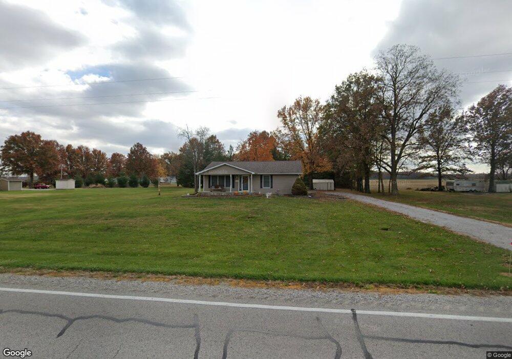
12724 Slant Rd Carlyle, IL 62231
Estimated Value: $200,000 - $230,000
--
Bed
--
Bath
1,386
Sq Ft
$154/Sq Ft
Est. Value
About This Home
This home is located at 12724 Slant Rd, Carlyle, IL 62231 and is currently estimated at $212,851, approximately $153 per square foot. 12724 Slant Rd is a home located in Clinton County with nearby schools including Carlyle Elementary School, Carlyle Junior High School, and Carlyle High School.
Ownership History
Date
Name
Owned For
Owner Type
Purchase Details
Closed on
Mar 13, 2020
Sold by
Trame Paul J and Trame Loretta M
Bought by
Burton Mara L
Current Estimated Value
Home Financials for this Owner
Home Financials are based on the most recent Mortgage that was taken out on this home.
Original Mortgage
$121,060
Outstanding Balance
$105,632
Interest Rate
2.75%
Mortgage Type
New Conventional
Estimated Equity
$107,219
Purchase Details
Closed on
Feb 28, 2008
Sold by
Trame Loretta M
Bought by
Trame Paul and Trame Long Term Irre Loretta M
Create a Home Valuation Report for This Property
The Home Valuation Report is an in-depth analysis detailing your home's value as well as a comparison with similar homes in the area
Home Values in the Area
Average Home Value in this Area
Purchase History
| Date | Buyer | Sale Price | Title Company |
|---|---|---|---|
| Burton Mara L | $118,000 | Community Title | |
| Trame Paul | -- | None Available |
Source: Public Records
Mortgage History
| Date | Status | Borrower | Loan Amount |
|---|---|---|---|
| Open | Burton Mara L | $121,060 |
Source: Public Records
Tax History Compared to Growth
Tax History
| Year | Tax Paid | Tax Assessment Tax Assessment Total Assessment is a certain percentage of the fair market value that is determined by local assessors to be the total taxable value of land and additions on the property. | Land | Improvement |
|---|---|---|---|---|
| 2024 | $2,809 | $56,470 | $7,700 | $48,770 |
| 2023 | $2,809 | $51,340 | $7,000 | $44,340 |
| 2022 | $2,607 | $41,640 | $6,180 | $35,460 |
| 2021 | $2,060 | $40,430 | $6,000 | $34,430 |
| 2020 | $2,457 | $40,430 | $6,000 | $34,430 |
| 2019 | $1,574 | $40,430 | $6,000 | $34,430 |
| 2018 | $1,645 | $43,794 | $6,060 | $37,734 |
| 2017 | $1,636 | $43,360 | $6,000 | $37,360 |
| 2016 | $1,675 | $43,360 | $6,000 | $37,360 |
| 2015 | $1,754 | $43,360 | $6,000 | $37,360 |
| 2013 | $1,754 | $43,600 | $6,000 | $37,600 |
Source: Public Records
Map
Nearby Homes
- 471 Methodist St
- 1870 Fairfax St
- 611 23rd St
- 951 10th St
- 0 Redwood St
- 1090 18th St
- 16743 Ashland Ct
- 15207 Business Highway 127
- 15556 Old State Rd
- 291 Carter St
- 22000 East Rd
- 3 Lakeview Dr
- 21065 Illinois 161
- 18835 Mary Jane Ln
- 1102 Cherry St
- 6908 Bassen Rd
- 000 Nottmeyer Rd
- 18018 Illinois 127
- 126 Jefferson Dr
- 10675 Buckingham Ct
- 12724 Slant Rd
- 12712 Slant Rd
- 17801 Bellflower Ln
- 17805 Bellflower Ln
- 17800 Bellflower Ln
- 17811 Bellflower Ln
- 17935 Red Clover Ln
- 17931 Red Clover Ln
- 17790 Bellflower Ln
- 12901 Slant Rd
- 17936 Red Clover Ln
- 17925 Red Clover Ln
- 17930 Red Clover Ln
- 11515 State Route 127
- 17917 Red Clover Ln
- 17942 Red Clover Ln
- 11535 State Route 127
- 17924 Red Clover Ln
- 17911 Red Clover Ln
- 11436 State Route 127