12725 Robbie Cir Mustang, OK 73064
South Mustang NeighborhoodEstimated Value: $490,000 - $539,000
3
Beds
3
Baths
2,592
Sq Ft
$199/Sq Ft
Est. Value
About This Home
This home is located at 12725 Robbie Cir, Mustang, OK 73064 and is currently estimated at $514,672, approximately $198 per square foot. 12725 Robbie Cir is a home located in Canadian County with nearby schools including Mustang Centennial Elementary School, Mustang Horizon Intermediate School, and Mustang Middle School.
Ownership History
Date
Name
Owned For
Owner Type
Purchase Details
Closed on
Jan 11, 2022
Sold by
Kuhlman Johnny L and Kuhlman Pamela A
Bought by
Jpk Revocable Living Trust
Current Estimated Value
Purchase Details
Closed on
Mar 20, 2012
Sold by
Suchanek Anna
Bought by
Van Ran Enterprises Inc
Home Financials for this Owner
Home Financials are based on the most recent Mortgage that was taken out on this home.
Original Mortgage
$57,500
Interest Rate
3.91%
Mortgage Type
Seller Take Back
Purchase Details
Closed on
Dec 16, 1993
Sold by
Parker Russell
Bought by
Kuhlman Johnny L and Kuhlman Pamela A
Purchase Details
Closed on
Aug 31, 1987
Create a Home Valuation Report for This Property
The Home Valuation Report is an in-depth analysis detailing your home's value as well as a comparison with similar homes in the area
Home Values in the Area
Average Home Value in this Area
Purchase History
| Date | Buyer | Sale Price | Title Company |
|---|---|---|---|
| Jpk Revocable Living Trust | -- | Cortes Law Firm | |
| Van Ran Enterprises Inc | $64,500 | Old Republic Title Company | |
| Kuhlman Johnny L | $17,000 | -- | |
| -- | -- | -- |
Source: Public Records
Mortgage History
| Date | Status | Borrower | Loan Amount |
|---|---|---|---|
| Previous Owner | Van Ran Enterprises Inc | $57,500 |
Source: Public Records
Tax History Compared to Growth
Tax History
| Year | Tax Paid | Tax Assessment Tax Assessment Total Assessment is a certain percentage of the fair market value that is determined by local assessors to be the total taxable value of land and additions on the property. | Land | Improvement |
|---|---|---|---|---|
| 2024 | $3,793 | $35,536 | $6,253 | $29,283 |
| 2023 | $3,793 | $34,502 | $5,798 | $28,704 |
| 2022 | $3,735 | $33,497 | $5,622 | $27,875 |
| 2021 | $3,610 | $32,522 | $5,128 | $27,394 |
| 2020 | $3,537 | $31,574 | $4,702 | $26,872 |
| 2019 | $3,427 | $30,655 | $4,308 | $26,347 |
| 2018 | $3,386 | $29,762 | $3,940 | $25,822 |
| 2017 | $3,241 | $28,895 | $3,634 | $25,261 |
| 2016 | $3,135 | $28,896 | $3,651 | $25,245 |
| 2015 | $2,971 | $27,237 | $3,058 | $24,179 |
| 2014 | $2,971 | $26,444 | $2,702 | $23,742 |
Source: Public Records
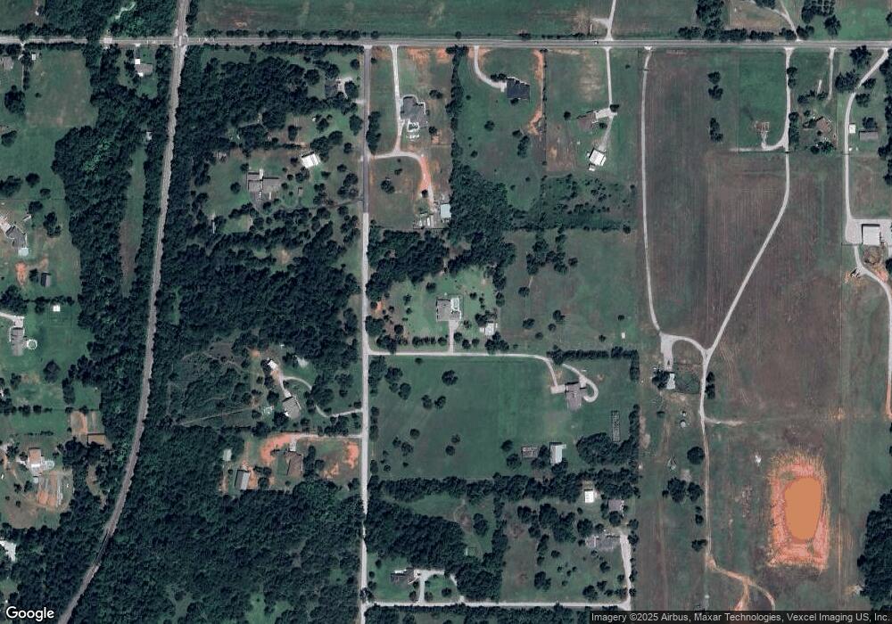
Map
Nearby Homes
- 10901 Kase Dr
- 1804 W Zachary Way
- 10912 S Czech Hall Rd
- 11001 S Payne Rd
- 11933 SW 104th St
- 11937 SW 104th St
- 11941 SW 104th St
- 11949 SW 104th St
- 11953 SW 104th St
- 11709 W Little Ln
- 11921 SW 104th St
- 11409 SW 109th St
- 11100 SW 118th St
- 11610 Meadows Ave
- 12300 S Highway 4
- 12100 SW 36th St
- 525 W Ava Dr
- 1302 S Silver Dr
- 1509 S Clear Springs Rd
- 1315 S Grace Dr
- 0000 Robbie Cir
- 0 Robbie Cir
- 12000 S Couts Dr
- 12650 Robbie Cir
- 12309 S Couts Dr
- 12021 S Couts Dr
- 12401 S Couts Dr
- 12700 SW 119th St
- 12650 SW 119th St
- 12009 S Couts Dr
- 12701 Ryan Cir
- 12651 Ryan Cir
- 0 5 44 Ac Couts Dr
- 12904 SW 119th St
- 12700 S Couts Dr
- 12200 S Cemetery Rd
- 12130 S Cemetery Rd
- 12400 S Cemetery Rd
- 12650 Ryan Cir
- 12650 Ryan Cir