Estimated Value: $209,000 - $315,000
--
Bed
--
Bath
--
Sq Ft
2
Acres
About This Home
This home is located at 12725 S Delaney Rd, Perry, MI 48872 and is currently estimated at $269,730. 12725 S Delaney Rd is a home located in Shiawassee County with nearby schools including Perry Elementary School, Perry Middle School, and Perry High School.
Ownership History
Date
Name
Owned For
Owner Type
Purchase Details
Closed on
Jan 26, 2016
Sold by
Taylor Jon W
Bought by
Wellman James R and Wellman Miranda
Current Estimated Value
Purchase Details
Closed on
Aug 13, 2015
Sold by
Mckeith Renee and Kenney Vivian L
Bought by
Mckeith Renee and Mckeith Daniel
Home Financials for this Owner
Home Financials are based on the most recent Mortgage that was taken out on this home.
Original Mortgage
$107,000
Interest Rate
4.03%
Mortgage Type
New Conventional
Create a Home Valuation Report for This Property
The Home Valuation Report is an in-depth analysis detailing your home's value as well as a comparison with similar homes in the area
Home Values in the Area
Average Home Value in this Area
Purchase History
| Date | Buyer | Sale Price | Title Company |
|---|---|---|---|
| Wellman James R | $165,000 | -- | |
| Mckeith Renee | $116 | -- |
Source: Public Records
Mortgage History
| Date | Status | Borrower | Loan Amount |
|---|---|---|---|
| Previous Owner | Mckeith Renee | $107,000 |
Source: Public Records
Tax History Compared to Growth
Tax History
| Year | Tax Paid | Tax Assessment Tax Assessment Total Assessment is a certain percentage of the fair market value that is determined by local assessors to be the total taxable value of land and additions on the property. | Land | Improvement |
|---|---|---|---|---|
| 2025 | $2,037 | $133,700 | $0 | $0 |
| 2024 | $2,037 | $123,100 | $0 | $0 |
| 2023 | $976 | $114,200 | $0 | $0 |
| 2022 | $1,903 | $96,100 | $0 | $0 |
| 2021 | $1,796 | $86,400 | $0 | $0 |
| 2020 | $1,782 | $84,300 | $0 | $0 |
| 2019 | $1,782 | $68,600 | $0 | $0 |
| 2018 | $1,743 | $67,500 | $0 | $0 |
| 2017 | $1,599 | $59,000 | $0 | $0 |
| 2016 | -- | $59,000 | $0 | $0 |
| 2015 | -- | $52,800 | $0 | $0 |
| 2014 | $199 | $51,600 | $0 | $0 |
Source: Public Records
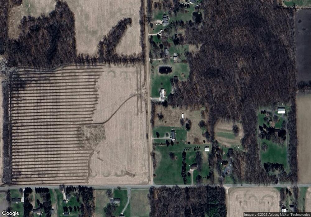
Map
Nearby Homes
- 4 Blue Water Way
- 0 Winegar Rd Unit 55040
- 310 E Orchard St
- 422 E 2nd St
- 220 E 3rd St
- 0 M-52 Hwy Unit 261982
- 5691 Michigan 52
- 368 Green
- 321 Lamb St
- 00 W Riverview Dr
- 402 W Rolfe St
- 605 Landbridge
- 612 W Bath Rd
- 7228 W Beard Rd
- The Nantucket Plan at Perry Lakes
- The Newton Plan at Perry Lakes
- The Newcastle Plan at Perry Lakes
- The Hartwell Plan at Perry Lakes
- The Hatfield Plan at Perry Lakes
- The Norway Plan at Perry Lakes
- 12755 S Delaney Rd
- 12723 S Delaney Rd
- 12623 S Delaney Rd
- 12849 S Delaney Rd
- 12609 S Delaney Rd
- 12775 S Delaney Rd
- 12545 S Delaney Rd
- 12885 S Delaney Rd
- 2201 Ellsworth Rd
- 2170 W Beard Rd
- 2110 W Beard Rd
- 2000 W Beard Rd
- 2107 Ellsworth Rd
- 2110 W Ellsworth Rd
- 2110 Ellsworth Rd
- 2110 Ellsworth Rd
- 2303 W Beard Rd
- 0000 Winegar Parcel 1b Rd
- 000 Fenner Parcel 1a Rd
- VACANT Stow Parcel 4 Rd