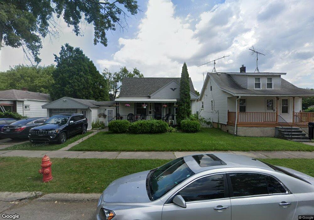
1273 Empire Ave Lincoln Park, MI 48146
Estimated Value: $141,000 - $150,386
--
Bed
1
Bath
933
Sq Ft
$156/Sq Ft
Est. Value
About This Home
This home is located at 1273 Empire Ave, Lincoln Park, MI 48146 and is currently estimated at $145,097, approximately $155 per square foot. 1273 Empire Ave is a home located in Wayne County with nearby schools including Raupp Elementary School, Lincoln Park Middle School, and Lincoln Park High School.
Ownership History
Date
Name
Owned For
Owner Type
Purchase Details
Closed on
Jan 19, 2023
Sold by
Scharboneau Gregory and Scharboneau Mary Ann
Bought by
Scharboneau Gregory and Scharboneau Gregory
Current Estimated Value
Purchase Details
Closed on
Mar 2, 2004
Sold by
Hud
Bought by
Scharboneau Gregory
Purchase Details
Closed on
Dec 6, 2002
Sold by
Chase Manhattan Mortgage Corp
Bought by
Hud
Purchase Details
Closed on
Aug 7, 2002
Sold by
Eichold Russell D
Bought by
Chase Manhattan Mtg Corp
Purchase Details
Closed on
May 14, 2001
Sold by
Esquina Tony
Bought by
Eichold Russell D
Create a Home Valuation Report for This Property
The Home Valuation Report is an in-depth analysis detailing your home's value as well as a comparison with similar homes in the area
Home Values in the Area
Average Home Value in this Area
Purchase History
| Date | Buyer | Sale Price | Title Company |
|---|---|---|---|
| Scharboneau Gregory | -- | -- | |
| Scharboneau Gregory | $66,000 | Minnesota Title Agency | |
| Hud | -- | -- | |
| Chase Manhattan Mtg Corp | $34,236 | -- | |
| Eichold Russell D | $97,900 | -- |
Source: Public Records
Tax History Compared to Growth
Tax History
| Year | Tax Paid | Tax Assessment Tax Assessment Total Assessment is a certain percentage of the fair market value that is determined by local assessors to be the total taxable value of land and additions on the property. | Land | Improvement |
|---|---|---|---|---|
| 2025 | $1,738 | $75,500 | $0 | $0 |
| 2024 | $1,738 | $67,600 | $0 | $0 |
| 2023 | $1,650 | $56,900 | $0 | $0 |
| 2022 | $1,841 | $48,600 | $0 | $0 |
| 2021 | $1,796 | $42,800 | $0 | $0 |
| 2020 | $1,778 | $38,100 | $0 | $0 |
| 2019 | $1,489 | $29,000 | $0 | $0 |
| 2018 | $1,374 | $23,400 | $0 | $0 |
| 2017 | $757 | $23,500 | $0 | $0 |
| 2016 | $1,770 | $24,900 | $0 | $0 |
| 2015 | $2,440 | $24,400 | $0 | $0 |
| 2013 | $2,590 | $27,000 | $0 | $0 |
| 2012 | $2,172 | $28,000 | $6,700 | $21,300 |
Source: Public Records
Map
Nearby Homes
- 1329 Grant Ave
- 1363 Empire Ave
- 1459 Pingree Ave
- 1375 Wilson Ave
- 1529 Grant Ave
- 1581 Empire Ave
- 1326 Marion Ave
- 4133 16th St
- 1523 Marion Ave
- 1581 Wilson Ave
- 1473 Austin Ave
- 4345 10th St
- 650 Cleophus Pkwy
- 1622 Wilson Ave
- 4006 17th St
- 776 Cleophus Pkwy
- 3989 19th St
- 1554 Austin Ave
- 1428 Chandler Ave
- 714 Park Ave
- 1269 Empire Ave
- 1265 Empire Ave
- 1263 Empire Ave
- 1301 Empire Ave
- 1257 Empire Ave
- 1266 Pingree Ave
- 1272 Pingree Ave
- 1260 Pingree Ave
- 1282 Pingree Ave
- 1309 Empire Ave
- 1270 Empire Ave
- 1274 Empire Ave
- 1266 Empire Ave
- 1288 Pingree Ave
- 1282 Empire Ave
- 1256 Pingree Ave
- 1286 Empire Ave
- 1262 Empire Ave
- 1306 Pingree Ave
- 1200 Pingree Ave