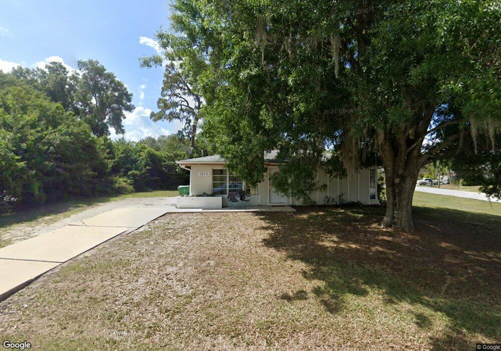
1273 Joplin Ave NW Port Charlotte, FL 33948
Estimated Value: $168,844 - $244,000
2
Beds
1
Bath
912
Sq Ft
$220/Sq Ft
Est. Value
About This Home
This home is located at 1273 Joplin Ave NW, Port Charlotte, FL 33948 and is currently estimated at $200,711, approximately $220 per square foot. 1273 Joplin Ave NW is a home located in Charlotte County with nearby schools including Meadow Park Elementary School, Murdock Middle School, and Port Charlotte High School.
Ownership History
Date
Name
Owned For
Owner Type
Purchase Details
Closed on
Sep 9, 2025
Sold by
Henning John and Henning Sandra
Bought by
Henning Family Revocable Trust and Henning
Current Estimated Value
Purchase Details
Closed on
Jun 15, 2017
Sold by
Donovan Donald A and Donovan Phyllis J
Bought by
Henning John and Henning Sandra
Purchase Details
Closed on
Nov 23, 2010
Sold by
Donovan Donald A and Donovan Phyllis J
Bought by
Donovan Donald A and Donovan Phyllis J
Create a Home Valuation Report for This Property
The Home Valuation Report is an in-depth analysis detailing your home's value as well as a comparison with similar homes in the area
Home Values in the Area
Average Home Value in this Area
Purchase History
| Date | Buyer | Sale Price | Title Company |
|---|---|---|---|
| Henning Family Revocable Trust | $100 | None Listed On Document | |
| Henning John | $64,500 | Florida Abstract & Security | |
| Donovan Donald A | -- | Attorney |
Source: Public Records
Tax History Compared to Growth
Tax History
| Year | Tax Paid | Tax Assessment Tax Assessment Total Assessment is a certain percentage of the fair market value that is determined by local assessors to be the total taxable value of land and additions on the property. | Land | Improvement |
|---|---|---|---|---|
| 2025 | $1,681 | $143,442 | $33,150 | $110,292 |
| 2024 | $2,741 | $151,865 | $32,300 | $119,565 |
| 2023 | $2,741 | $73,879 | $0 | $0 |
| 2022 | $2,381 | $120,380 | $28,900 | $91,480 |
| 2021 | $1,964 | $61,057 | $11,560 | $49,497 |
| 2020 | $1,000 | $60,011 | $9,860 | $50,151 |
| 2019 | $1,856 | $59,829 | $10,200 | $49,629 |
| 2018 | $1,752 | $59,515 | $10,030 | $49,485 |
| 2017 | $1,476 | $50,039 | $9,669 | $40,370 |
| 2016 | $1,454 | $33,664 | $0 | $0 |
| 2015 | $631 | $30,604 | $0 | $0 |
| 2014 | $505 | $27,822 | $0 | $0 |
Source: Public Records
Map
Nearby Homes
- 2088 Pellam Blvd
- 2080 Pellam Blvd
- 1237 Pike Ave NW
- 2119 Pellam Blvd
- 2193 Hyatt Dr
- 2201 Hyatt Dr
- 2070 Carpetgreen St
- 2024 Pellam Blvd
- 948 Columbia Terrace
- 948 Andrews Ave NW
- 19077 Cochran Blvd
- 906 Bayard Terrace
- 2216 Pellam Blvd
- 18503 Barbara Ave
- 16054 Ivy Ridge Ct
- 2709 Rock Creek Dr
- 931 Red Bay Terrace NW
- 18440 Morrisson Ave
- 2678 Rock Creek Dr
- 18466 Inwood Ave
- 2112 Hyatt Dr
- 1261 Joplin Ave NW
- 2087 Hyatt Dr
- 2095 Hyatt Dr
- 2079 Hyatt Dr
- 1260 Joplin Ave NW
- 2136 Hyatt Dr
- 2103 Hyatt Dr
- 2071 Hyatt Dr
- 1255 Joplin Ave NW
- 1248 Joplin Ave NW
- 2144 Hyatt Dr
- 2063 Hyatt Dr
- 1253 Pike Ave NW
- 1242 Joplin Ave NW
- 1249 Joplin Ave NW
- 2113 Hyatt Dr
- 2152 Hyatt Dr
- 1245 Pike Ave NW