12730 McDonald Rd West Fork, AR 72774
Estimated Value: $303,229 - $376,000
3
Beds
1
Bath
1,260
Sq Ft
$258/Sq Ft
Est. Value
About This Home
This home is located at 12730 McDonald Rd, West Fork, AR 72774 and is currently estimated at $324,807, approximately $257 per square foot. 12730 McDonald Rd is a home located in Washington County with nearby schools including West Fork Elementary School, West Fork Middle School, and West Fork High School.
Ownership History
Date
Name
Owned For
Owner Type
Purchase Details
Closed on
Jun 22, 2021
Sold by
Daniello Patricia and Bahcman Gregory
Bought by
Lovell Roy and Lovell Stephanie
Current Estimated Value
Home Financials for this Owner
Home Financials are based on the most recent Mortgage that was taken out on this home.
Original Mortgage
$156,000
Outstanding Balance
$140,931
Interest Rate
2.9%
Mortgage Type
New Conventional
Estimated Equity
$183,876
Purchase Details
Closed on
Mar 19, 2008
Sold by
Lockhart Carl and Lockhart Karrie D
Bought by
Daniello Patty
Home Financials for this Owner
Home Financials are based on the most recent Mortgage that was taken out on this home.
Original Mortgage
$133,000
Interest Rate
5.67%
Mortgage Type
Purchase Money Mortgage
Purchase Details
Closed on
Dec 29, 1994
Bought by
Onda Mountain Land & Cattle Co.
Create a Home Valuation Report for This Property
The Home Valuation Report is an in-depth analysis detailing your home's value as well as a comparison with similar homes in the area
Home Values in the Area
Average Home Value in this Area
Purchase History
| Date | Buyer | Sale Price | Title Company |
|---|---|---|---|
| Lovell Roy | $195,000 | Waco Title Comapn | |
| Daniello Patty | $140,000 | Elite Title Company Inc | |
| Onda Mountain Land & Cattle Co. | -- | -- | |
| Farley Bob W | $58,000 | -- |
Source: Public Records
Mortgage History
| Date | Status | Borrower | Loan Amount |
|---|---|---|---|
| Open | Lovell Roy | $156,000 | |
| Previous Owner | Daniello Patty | $133,000 |
Source: Public Records
Tax History Compared to Growth
Tax History
| Year | Tax Paid | Tax Assessment Tax Assessment Total Assessment is a certain percentage of the fair market value that is determined by local assessors to be the total taxable value of land and additions on the property. | Land | Improvement |
|---|---|---|---|---|
| 2025 | $1,282 | $35,430 | $9,250 | $26,180 |
| 2024 | $1,184 | $35,430 | $9,250 | $26,180 |
| 2023 | $1,089 | $35,430 | $9,250 | $26,180 |
| 2022 | $1,041 | $20,590 | $2,750 | $17,840 |
| 2021 | $571 | $20,590 | $2,750 | $17,840 |
| 2020 | $531 | $20,590 | $2,750 | $17,840 |
| 2019 | $490 | $16,930 | $2,240 | $14,690 |
| 2018 | $515 | $16,930 | $2,240 | $14,690 |
| 2017 | $439 | $16,930 | $2,240 | $14,690 |
| 2016 | $490 | $16,930 | $2,240 | $14,690 |
| 2015 | $490 | $16,930 | $2,240 | $14,690 |
| 2014 | $495 | $17,040 | $2,020 | $15,020 |
Source: Public Records
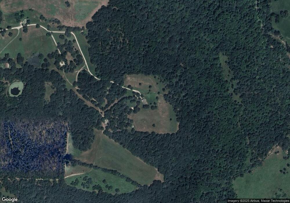
Map
Nearby Homes
- 30.47 Acres Onda Mountain (Wc 213)
- 14648 Director Rd
- 15607 Hubbard Rd
- 16293 Arkansas 265
- 00 8.86 acres Hubbard Rd
- 00 Hubbard Rd
- 16291 S Highway 265
- 16977 Holcombe School Rd
- 16891 Holcombe School Rd
- 17952 S Highway 170
- 14516 Friendship Church Rd
- 12063 W Highway 156
- 16380 Cove Creek Rd N
- 13184 Cove Creek Rd N
- 841 Petit Jean St
- 16175 N Cove Creek Wc 21 Rd
- 12930 Baker Mountain Rd
- 18403 S Highway 170
- 16175 Cove Creek N
- 10973 Arkansas 156
- 12875 McDonald Rd
- 12870 McDonald Rd
- 12987 McDonald Rd
- 15628 Malico Mountain Rd
- 0 Malico Mountain Rd
- 14770 Malico Mountain Rd
- 55Ac Malico Mountain Rd
- 0 County Road 29
- tbd Malico Mountain Rd
- 0 Malico Mountain
- 16606 Malico Mnt Rd Cr29
- 13020 Dandelion Rd
- 13024 Dandelion Rd
- 13024 Dandelion Co Rd 281
- 16092 Malico Mountain Rd
- 16030 Malico Mountain Rd
- 16087 Malico Mountain Rd
- 16252 Malico Mountain Rd
- 15312 Malico Mountain Rd
- 16091 Malico Mountain Rd