12730 W Spur Dr Peoria, AZ 85383
Estimated Value: $422,345 - $599,000
3
Beds
3
Baths
2,107
Sq Ft
$255/Sq Ft
Est. Value
About This Home
This home is located at 12730 W Spur Dr, Peoria, AZ 85383 and is currently estimated at $536,836, approximately $254 per square foot. 12730 W Spur Dr is a home located in Maricopa County with nearby schools including Lake Pleasant Elementary School and Liberty High School.
Ownership History
Date
Name
Owned For
Owner Type
Purchase Details
Closed on
Mar 31, 2005
Sold by
Vistancia Marketing Llc
Bought by
Lepard Gerald L and Lepard Darlene Y
Current Estimated Value
Home Financials for this Owner
Home Financials are based on the most recent Mortgage that was taken out on this home.
Original Mortgage
$172,731
Interest Rate
5.68%
Mortgage Type
New Conventional
Create a Home Valuation Report for This Property
The Home Valuation Report is an in-depth analysis detailing your home's value as well as a comparison with similar homes in the area
Home Values in the Area
Average Home Value in this Area
Purchase History
| Date | Buyer | Sale Price | Title Company |
|---|---|---|---|
| Lepard Gerald L | $345,463 | First American Title Ins Co | |
| Vistancia Marketing Llc | -- | First American Title Ins Co |
Source: Public Records
Mortgage History
| Date | Status | Borrower | Loan Amount |
|---|---|---|---|
| Previous Owner | Lepard Gerald L | $172,731 |
Source: Public Records
Tax History Compared to Growth
Tax History
| Year | Tax Paid | Tax Assessment Tax Assessment Total Assessment is a certain percentage of the fair market value that is determined by local assessors to be the total taxable value of land and additions on the property. | Land | Improvement |
|---|---|---|---|---|
| 2025 | $2,464 | $26,197 | -- | -- |
| 2024 | $2,710 | $26,197 | -- | -- |
| 2023 | $2,710 | $28,300 | $5,660 | $22,640 |
| 2022 | $2,827 | $28,300 | $5,660 | $22,640 |
| 2021 | $3,110 | $34,160 | $6,830 | $27,330 |
| 2020 | $3,263 | $32,130 | $6,420 | $25,710 |
| 2019 | $3,174 | $30,050 | $6,010 | $24,040 |
| 2018 | $2,787 | $28,660 | $5,730 | $22,930 |
| 2017 | $3,489 | $28,300 | $5,660 | $22,640 |
| 2016 | $3,434 | $27,430 | $5,480 | $21,950 |
| 2015 | $3,214 | $27,110 | $5,420 | $21,690 |
Source: Public Records
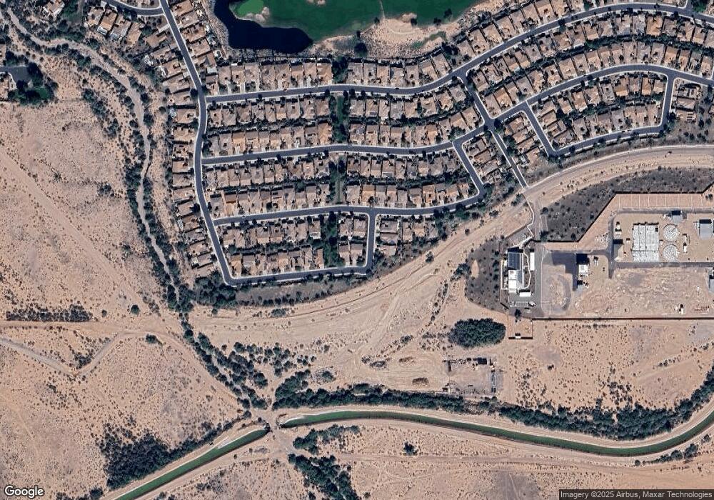
Map
Nearby Homes
- 26724 N 128th Dr
- 26735 N 127th Dr
- 26747 N 127th Dr
- 12652 W Maya Way
- 26765 N 126th Ln
- 12629 W Bajada Rd
- 12608 W Maya Way
- 12857 W Quail Track Dr
- 12539 W Bajada Rd
- 27196 N 129th Dr
- 13049 W Redbird Rd
- 27380 N 128th Ln
- 12626 W Pinnacle Vista Dr
- 12446 W Bajada Rd
- 13072 W Alyssa Ln
- 26451 N 131st Dr
- 13140 W Rowel Rd
- 12448 W Rosewood Ln
- 26310 N 131st Dr
- 13125 W Lariat Ln
- 12740 W Spur Dr
- 12731 W Jasmine Trail
- 12741 W Jasmine Trail
- 26723 N 127th Dr
- 12758 W Spur Dr
- 12759 W Jasmine Trail
- 12768 W Spur Dr
- 12701 W Jasmine Trail
- 12726 W Jasmine Trail
- 12769 W Jasmine Trail
- 12734 W Jasmine Trail
- 12718 W Jasmine Trail
- 12778 W Spur Dr
- 12693 W Jasmine Trail
- 12710 W Jasmine Trail
- 12740 W Jasmine Trail
- 12779 W Jasmine Trail
- 12750 W Jasmine Trail
- 12788 W Spur Dr
- 12685 W Jasmine Trail