12731 Ruths Farm Way Alpharetta, GA 30004
Estimated Value: $1,186,944 - $1,558,000
6
Beds
6
Baths
4,168
Sq Ft
$339/Sq Ft
Est. Value
About This Home
This home is located at 12731 Ruths Farm Way, Alpharetta, GA 30004 and is currently estimated at $1,414,486, approximately $339 per square foot. 12731 Ruths Farm Way is a home with nearby schools including Crabapple Crossing Elementary School, Northwestern Middle School, and Milton High School.
Ownership History
Date
Name
Owned For
Owner Type
Purchase Details
Closed on
Jul 30, 2015
Sold by
The Providence Grp Of Georgia Custom Hom
Bought by
Fordyce Mark D and Fordyce Sarah E
Current Estimated Value
Home Financials for this Owner
Home Financials are based on the most recent Mortgage that was taken out on this home.
Original Mortgage
$330,000
Outstanding Balance
$260,247
Interest Rate
4.11%
Mortgage Type
New Conventional
Estimated Equity
$1,154,239
Purchase Details
Closed on
Jan 21, 2015
Sold by
Jbgl Atlanta Development Llc
Bought by
Providence Grp Of Georgia Cust
Create a Home Valuation Report for This Property
The Home Valuation Report is an in-depth analysis detailing your home's value as well as a comparison with similar homes in the area
Home Values in the Area
Average Home Value in this Area
Purchase History
| Date | Buyer | Sale Price | Title Company |
|---|---|---|---|
| Fordyce Mark D | $827,747 | -- | |
| Providence Grp Of Georgia Cust | $316,126 | -- |
Source: Public Records
Mortgage History
| Date | Status | Borrower | Loan Amount |
|---|---|---|---|
| Open | Fordyce Mark D | $330,000 |
Source: Public Records
Tax History Compared to Growth
Tax History
| Year | Tax Paid | Tax Assessment Tax Assessment Total Assessment is a certain percentage of the fair market value that is determined by local assessors to be the total taxable value of land and additions on the property. | Land | Improvement |
|---|---|---|---|---|
| 2025 | $1,296 | $302,000 | $60,200 | $241,800 |
| 2023 | $8,785 | $311,240 | $60,200 | $251,040 |
| 2022 | $7,818 | $311,240 | $60,200 | $251,040 |
| 2021 | $8,627 | $278,720 | $60,640 | $218,080 |
| 2020 | $8,982 | $284,200 | $57,800 | $226,400 |
| 2019 | $1,443 | $284,400 | $81,120 | $203,280 |
| 2018 | $7,497 | $277,720 | $79,200 | $198,520 |
| 2017 | $9,311 | $331,080 | $86,480 | $244,600 |
| 2016 | $1,793 | $331,080 | $86,480 | $244,600 |
| 2015 | $1,793 | $51,160 | $51,160 | $0 |
Source: Public Records
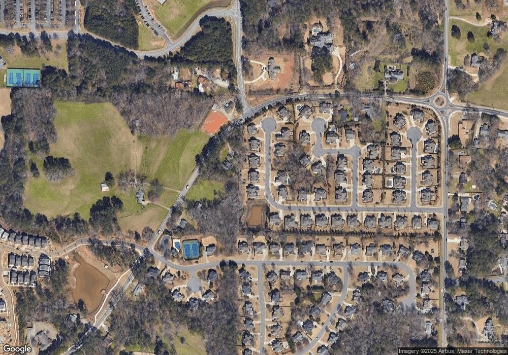
Map
Nearby Homes
- 175 Heatherton Ln
- 2200 Cortland Rd
- 13039 Freemanville Rd
- 245 Heatherton Way
- 275 Heatherton Way
- 1065 Mid Broadwell Rd
- 1360 Bethany Ct
- 12455 Pindell Cir
- 7412 Mid Broadwell Trace
- 7411 Mid Broadwell Trace
- 12575 Broadwell Rd
- 1050 Little River Ln
- 145 Pruitt Dr
- 12474 Broadwell Rd
- 1950 Heritage Walk
- 900 Crabapple Hill
- 12455 Broadwell Rd Unit 201
- 12733 Ruths Farm Way
- 12729 Ruths Farm Way
- 1085 Mayfield Rd
- 12735 Ruths Farm Way
- 12726 Ruths Farm Way
- 12732 Ruths Farm Way
- 12737 Ruths Farm Way
- 12725 Ruth's Farm Way
- 12724 Ruths Farm Way
- 12734 Ruths Farm Way
- 1071 Mayfield Rd
- 12722 Ruth's Farm Way
- 12723 Ruths Farm Way
- 1360 Brandywine Trail
- 1050 Mayfield Rd
- 1050 Mayfield Rd Unit 1100
- 1340 Brandywine Trail
- 1050 Bascomb Farm Dr Unit 1
- 1040 Bascomb Farm Dr
- 12736 Ruths Farm Way