12733 Pheasant Dr Mc Calla, AL 35111
Estimated Value: $305,000 - $956,346
3
Beds
3
Baths
3,701
Sq Ft
$175/Sq Ft
Est. Value
About This Home
This home is located at 12733 Pheasant Dr, Mc Calla, AL 35111 and is currently estimated at $647,449, approximately $174 per square foot. 12733 Pheasant Dr is a home with nearby schools including Brookwood Elementary School, Brookwood Middle School, and Brookwood High School.
Ownership History
Date
Name
Owned For
Owner Type
Purchase Details
Closed on
Sep 2, 2022
Sold by
Cade Gregory A
Bought by
Pheasant Hill Farms Llc
Current Estimated Value
Purchase Details
Closed on
Feb 8, 2005
Sold by
Reid Eugene Douglas
Bought by
D & B Llc
Home Financials for this Owner
Home Financials are based on the most recent Mortgage that was taken out on this home.
Original Mortgage
$75,000
Interest Rate
5.69%
Mortgage Type
Purchase Money Mortgage
Create a Home Valuation Report for This Property
The Home Valuation Report is an in-depth analysis detailing your home's value as well as a comparison with similar homes in the area
Home Values in the Area
Average Home Value in this Area
Purchase History
| Date | Buyer | Sale Price | Title Company |
|---|---|---|---|
| Pheasant Hill Farms Llc | $619,000 | -- | |
| Pheasant Hill Farms Llc | $619,000 | None Listed On Document | |
| D & B Llc | $75,500 | -- |
Source: Public Records
Mortgage History
| Date | Status | Borrower | Loan Amount |
|---|---|---|---|
| Previous Owner | D & B Llc | $75,000 |
Source: Public Records
Tax History Compared to Growth
Tax History
| Year | Tax Paid | Tax Assessment Tax Assessment Total Assessment is a certain percentage of the fair market value that is determined by local assessors to be the total taxable value of land and additions on the property. | Land | Improvement |
|---|---|---|---|---|
| 2024 | $3,756 | $147,960 | $27,100 | $120,860 |
| 2023 | $3,510 | $141,880 | $27,100 | $114,780 |
| 2022 | $2,898 | $115,600 | $23,100 | $92,500 |
| 2021 | $2,627 | $105,820 | $23,100 | $82,720 |
| 2020 | $2,642 | $106,120 | $23,100 | $83,020 |
| 2019 | $1,591 | $67,200 | $23,100 | $44,100 |
| 2018 | $1,591 | $67,200 | $23,100 | $44,100 |
| 2017 | $2,021 | $0 | $0 | $0 |
| 2016 | $207 | $0 | $0 | $0 |
| 2015 | $207 | $0 | $0 | $0 |
| 2014 | $207 | $14,760 | $14,760 | $0 |
Source: Public Records
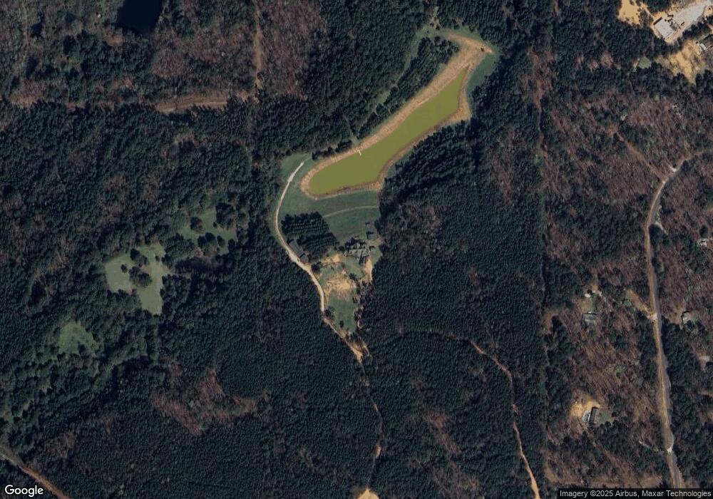
Map
Nearby Homes
- 12734 Pheasant Dr
- 0 Oma Dr Unit 21434470
- 12179 Deer Chase Rd
- 000 Deer Chase Rd Unit 2
- 12523 Eve Lou Ave
- 0 Deer Chase Rd Unit 21433037
- 19843 Browney Dr
- 13041 Nora Dr
- lot 24 Gladys Dr Unit 24
- 0 Hobby Horse Rd Unit 167582
- 9 Mark Dr
- 20333 Tanya Dr
- 12444 Jerry Dr
- 0 Jerry Dr Unit 21437056
- 0 Jerry Dr Unit 171997
- 0000 Calhoun Rd
- 000 Calhoun Rd
- 13306 Parson Dr
- 12530 Marshall Dr
- 12656 Charles Taylor Rd
- 12595 Pheasant Dr
- 12591 Pheasant Dr
- 0 Pheasant Dr Unit 380612
- 0 Pheasant Dr Unit 420693
- 0 Pheasant Dr Unit 423910
- 0 Pheasant Dr Unit 478249
- 0 Pheasant Dr Unit 487900
- 0 Pheasant Dr Unit 1 400368
- 12626 Pheasant Dr
- 12590 Pheasant Dr
- 12765 Whipporwill Dr
- 12765 Whipporwill Dr
- 12751 Pheasant Dr
- 12678 Whipporwill Dr
- 12561 Cedar Hill Dr
- 12550 Cedar Hill Dr
- 12528 Deer Chase Rd
- 12471 Deer Chase Rd Unit 3, 4, 5, 16, 17, 18,
- 12750 Pheasant Dr
- 12523 Deer Chase Rd