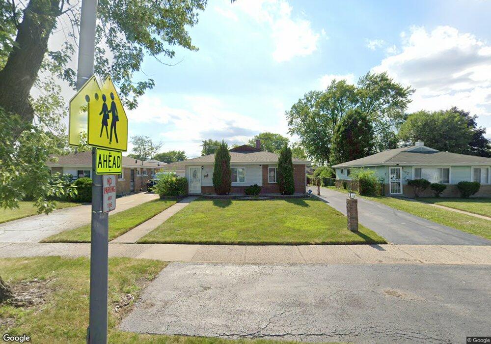
1274 Burnham Ave Calumet City, IL 60409
Estimated Value: $103,000 - $157,000
3
Beds
2
Baths
1,100
Sq Ft
$129/Sq Ft
Est. Value
About This Home
This home is located at 1274 Burnham Ave, Calumet City, IL 60409 and is currently estimated at $142,309, approximately $129 per square foot. 1274 Burnham Ave is a home located in Cook County with nearby schools including Hoover Elementary School, Schrum Memorial Middle School, and Thornton Fractional North High School.
Ownership History
Date
Name
Owned For
Owner Type
Purchase Details
Closed on
Mar 4, 2019
Sold by
Donahue Marlene and Jakovich Barbara
Bought by
B & K Associates Llc
Current Estimated Value
Purchase Details
Closed on
Aug 20, 2018
Sold by
Manousopoulos Basilios
Bought by
B & K Associates
Purchase Details
Closed on
Oct 13, 2015
Sold by
Donahue Marlene
Bought by
Manousopoulos Basilios
Purchase Details
Closed on
Sep 20, 2008
Sold by
Donahue Marlene and Donahue John James
Bought by
Donahue Marlene and Donahue Rick
Create a Home Valuation Report for This Property
The Home Valuation Report is an in-depth analysis detailing your home's value as well as a comparison with similar homes in the area
Home Values in the Area
Average Home Value in this Area
Purchase History
| Date | Buyer | Sale Price | Title Company |
|---|---|---|---|
| B & K Associates Llc | -- | None Available | |
| B & K Associates | -- | None Available | |
| Manousopoulos Basilios | -- | None Available | |
| Donahue Marlene | -- | None Available |
Source: Public Records
Tax History Compared to Growth
Tax History
| Year | Tax Paid | Tax Assessment Tax Assessment Total Assessment is a certain percentage of the fair market value that is determined by local assessors to be the total taxable value of land and additions on the property. | Land | Improvement |
|---|---|---|---|---|
| 2024 | $7,891 | $12,001 | $2,338 | $9,663 |
| 2023 | $5,654 | $12,001 | $2,338 | $9,663 |
| 2022 | $5,654 | $6,633 | $2,063 | $4,570 |
| 2021 | $5,548 | $6,631 | $2,062 | $4,569 |
| 2020 | $4,686 | $6,631 | $2,062 | $4,569 |
| 2019 | $4,596 | $6,181 | $1,925 | $4,256 |
| 2018 | $4,624 | $6,181 | $1,925 | $4,256 |
| 2017 | $4,898 | $6,893 | $1,925 | $4,968 |
| 2016 | $4,599 | $6,824 | $1,787 | $5,037 |
| 2015 | $4,530 | $6,824 | $1,787 | $5,037 |
| 2014 | $253 | $6,824 | $1,787 | $5,037 |
| 2013 | $239 | $7,568 | $1,787 | $5,781 |
Source: Public Records
Map
Nearby Homes
- 1272 Burnham Ave
- 1295 Greenbay Ave
- 1262 Greenbay Ave
- 1295 Hirsch Ave
- 1317 Mackinaw Ave
- 305 River Oaks Dr
- 1354 Hirsch Ave
- 302 161st St
- 1313 Gordon Ave
- 1366 Price Ave
- 1383 Greenbay Ave
- 1367 Buffalo Ave
- 1341 Gordon Ave
- 1351 Gordon Ave
- 1287 Arthur St
- 1253 Arthur St
- 1387 Price Ave
- 1365 Imperial Ave
- 826 Williams St
- 1051 Burnham Ave
- 1278 Burnham Ave
- 1266 Burnham Ave
- 1282 Burnham Ave
- 1275 Greenbay Ave
- 1271 Greenbay Ave
- 1279 Greenbay Ave
- 1267 Greenbay Ave
- 1283 Greenbay Ave
- 1290 Burnham Ave
- 1263 Greenbay Ave
- 1287 Greenbay Ave
- 1279 Burnham Ave
- 1275 Burnham Ave
- 1283 Burnham Ave
- 1271 Burnham Ave
- 1259 Greenbay Ave
- 1291 Greenbay Ave
- 1294 Burnham Ave
- 1285 Burnham Ave
- 1287 Burnham Ave