1274 Carlisle Rd North Brunswick, NJ 08902
Estimated Value: $635,496 - $751,000
--
Bed
--
Bath
2,247
Sq Ft
$304/Sq Ft
Est. Value
About This Home
This home is located at 1274 Carlisle Rd, North Brunswick, NJ 08902 and is currently estimated at $682,374, approximately $303 per square foot. 1274 Carlisle Rd is a home located in Middlesex County with nearby schools including John Adams Elementary School, Linwood Middle School, and North Brunswick Twp High School.
Ownership History
Date
Name
Owned For
Owner Type
Purchase Details
Closed on
Oct 4, 2002
Sold by
Sims Harold
Bought by
Branch Patrick
Current Estimated Value
Home Financials for this Owner
Home Financials are based on the most recent Mortgage that was taken out on this home.
Original Mortgage
$248,000
Outstanding Balance
$104,807
Interest Rate
6.27%
Estimated Equity
$577,567
Create a Home Valuation Report for This Property
The Home Valuation Report is an in-depth analysis detailing your home's value as well as a comparison with similar homes in the area
Home Values in the Area
Average Home Value in this Area
Purchase History
| Date | Buyer | Sale Price | Title Company |
|---|---|---|---|
| Branch Patrick | $310,000 | -- |
Source: Public Records
Mortgage History
| Date | Status | Borrower | Loan Amount |
|---|---|---|---|
| Open | Branch Patrick | $248,000 |
Source: Public Records
Tax History Compared to Growth
Tax History
| Year | Tax Paid | Tax Assessment Tax Assessment Total Assessment is a certain percentage of the fair market value that is determined by local assessors to be the total taxable value of land and additions on the property. | Land | Improvement |
|---|---|---|---|---|
| 2025 | $13,230 | $208,800 | $70,500 | $138,300 |
| 2024 | $12,992 | $208,800 | $70,500 | $138,300 |
| 2023 | $12,992 | $208,800 | $70,500 | $138,300 |
| 2022 | $12,549 | $208,800 | $70,500 | $138,300 |
| 2021 | $9,143 | $208,800 | $70,500 | $138,300 |
| 2020 | $12,081 | $208,800 | $70,500 | $138,300 |
| 2019 | $11,835 | $208,800 | $70,500 | $138,300 |
| 2018 | $11,593 | $208,800 | $70,500 | $138,300 |
| 2017 | $11,388 | $208,800 | $70,500 | $138,300 |
| 2016 | $11,150 | $208,800 | $70,500 | $138,300 |
| 2015 | $10,960 | $208,800 | $70,500 | $138,300 |
| 2014 | $10,837 | $208,800 | $70,500 | $138,300 |
Source: Public Records
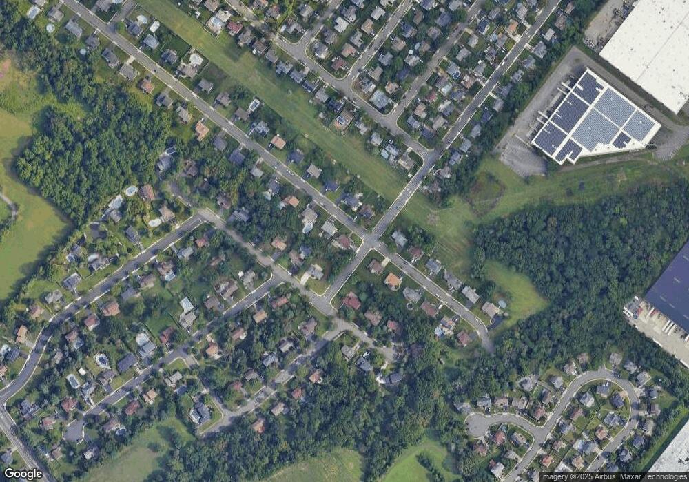
Map
Nearby Homes
- 1632 Hudson Ave
- 1067 Grove St
- 1 Michael Ct
- 1899 Noah Dr
- 1074 Schmidt Ln
- 1027 Schmidt Ln
- 1103 Schmidt Ln
- 1008 Schmidt Ln
- 1464 Columbia Dr
- 1209 Dakota Rd
- 174 Nathan Dr
- 84 Clay St
- 66 Riverbend Dr
- 280 Willowbrook Dr
- 4511 Birchwood Ct
- 38 Brighton Way Unit H2
- 320 Willowbrook Dr
- 4201 Birchwood Ct
- 1010 N Oaks Blvd
- 3807 Birchwood Ct
- 1284 Carlisle Rd
- 18 Poplar Ave
- 1256 Carlisle Rd
- 16 Poplar Ave
- 1275 Carlisle Rd
- 1294 Carlisle Rd
- 1285 Carlisle Rd
- 20 Poplar Ave
- 1257 Carlisle Rd
- 1246 Carlisle Rd
- 14 Poplar Ave
- 1295 Carlisle Rd
- 1304 Carlisle Rd
- 22 Poplar Ave
- 1247 Carlisle Rd
- 1236 Carlisle Rd
- 1305 Carlisle Rd
- 12 Poplar Ave
- 2 Hemlock Ln
- 1 Redwood Rd