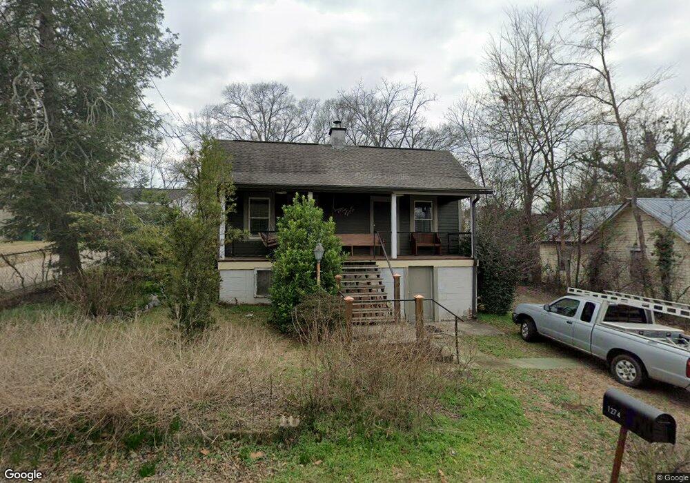
1274 E Broad St Athens, GA 30601
Chicopee-Dudley NeighborhoodEstimated Value: $207,572 - $253,000
1
Bed
1
Bath
736
Sq Ft
$315/Sq Ft
Est. Value
About This Home
This home is located at 1274 E Broad St, Athens, GA 30601 and is currently estimated at $231,893, approximately $315 per square foot. 1274 E Broad St is a home located in Clarke County with nearby schools including Gaines Elementary School, Hilsman Middle School, and Cedar Shoals High School.
Ownership History
Date
Name
Owned For
Owner Type
Purchase Details
Closed on
Nov 29, 2005
Sold by
Linn Mark
Bought by
Williams Kristy L
Current Estimated Value
Home Financials for this Owner
Home Financials are based on the most recent Mortgage that was taken out on this home.
Original Mortgage
$97,000
Outstanding Balance
$53,446
Interest Rate
6.23%
Mortgage Type
New Conventional
Estimated Equity
$178,447
Purchase Details
Closed on
Jul 14, 2003
Sold by
Martin Doris Lee
Bought by
Linn Mark
Create a Home Valuation Report for This Property
The Home Valuation Report is an in-depth analysis detailing your home's value as well as a comparison with similar homes in the area
Home Values in the Area
Average Home Value in this Area
Purchase History
| Date | Buyer | Sale Price | Title Company |
|---|---|---|---|
| Williams Kristy L | $100,000 | -- | |
| Linn Mark | $71,000 | -- |
Source: Public Records
Mortgage History
| Date | Status | Borrower | Loan Amount |
|---|---|---|---|
| Open | Williams Kristy L | $97,000 |
Source: Public Records
Tax History
| Year | Tax Paid | Tax Assessment Tax Assessment Total Assessment is a certain percentage of the fair market value that is determined by local assessors to be the total taxable value of land and additions on the property. | Land | Improvement |
|---|---|---|---|---|
| 2025 | $1,528 | $65,766 | $24,000 | $41,766 |
| 2024 | $1,505 | $64,122 | $24,000 | $40,122 |
| 2023 | $836 | $61,745 | $24,000 | $37,745 |
| 2022 | $1,285 | $50,282 | $18,000 | $32,282 |
| 2021 | $1,297 | $48,498 | $18,000 | $30,498 |
| 2020 | $1,217 | $46,123 | $18,000 | $28,123 |
| 2019 | $1,104 | $42,532 | $18,000 | $24,532 |
| 2018 | $992 | $39,221 | $17,000 | $22,221 |
| 2017 | $990 | $39,163 | $17,000 | $22,163 |
| 2016 | $970 | $38,576 | $17,000 | $21,576 |
| 2015 | $996 | $39,272 | $17,000 | $22,272 |
| 2014 | $1,021 | $39,969 | $17,000 | $22,969 |
Source: Public Records
Map
Nearby Homes
- 126 S Poplar St
- 1295 E Broad St Unit C5
- 1295 E Broad St
- 132 N Poplar St
- 1435 E Broad St
- 1437 E Broad St
- 248 Rear Arch St
- 225 Oak St Unit LOT 103
- 225 Oak St Unit 104
- 225 Oak St
- 225 Oak St Unit 108
- 225 Oak St Unit 8
- 225 Oak St Unit 7
- 125 Harper St
- 235 Arch St
- 169 Vine St
- 357 S Peter St
- 257 Arch St
- 263 Arch St
- 261 Arch St
- 1280 E Broad St
- 1264 E Broad St
- 1234 E Broad St
- 1294 E Broad St
- 145 Mulberry St
- 147 Mulberry St
- 1273 E Broad St
- 1283 E Broad St
- 1263 E Broad St
- 1253 E Broad St
- 138 S Poplar St
- 0 E Broad St Unit CM937701
- 0 E Broad St Unit CM937704
- 0 E Broad St Unit CM942417
- 0 E Broad St Unit CM626556
- 1640 E Broad St
- 0 E Broad St Unit 10425936
- 0 E Broad St Unit 7495786
- E E Broad St Unit C5
- E E Broad St Unit A1
Your Personal Tour Guide
Ask me questions while you tour the home.