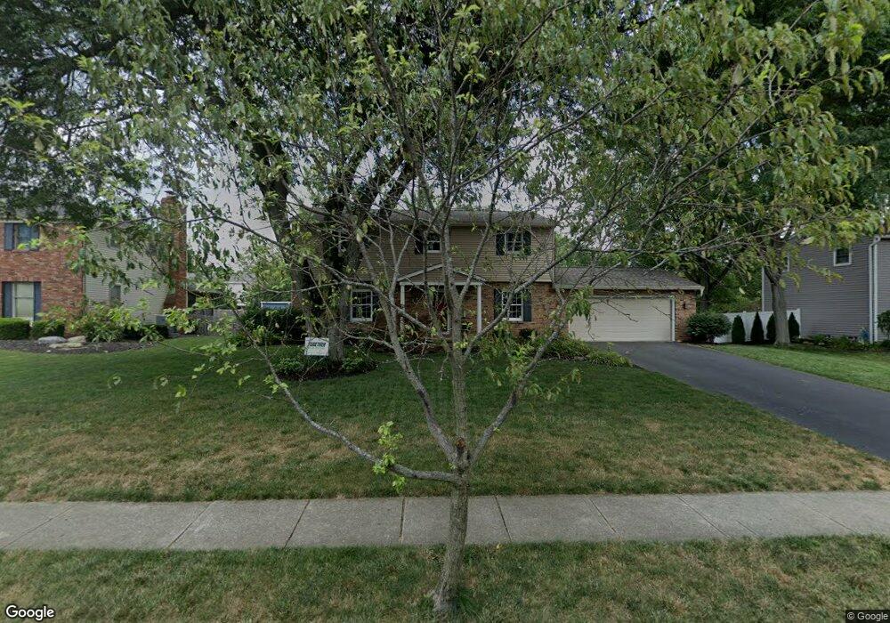
1274 Langston Dr Columbus, OH 43220
Estimated Value: $616,000 - $719,000
4
Beds
3
Baths
2,120
Sq Ft
$315/Sq Ft
Est. Value
About This Home
This home is located at 1274 Langston Dr, Columbus, OH 43220 and is currently estimated at $668,219, approximately $315 per square foot. 1274 Langston Dr is a home located in Franklin County with nearby schools including Greensview Elementary School, Hastings Middle School, and Upper Arlington High School.
Ownership History
Date
Name
Owned For
Owner Type
Purchase Details
Closed on
May 10, 2017
Sold by
Mitiska Eric J
Bought by
Mitiska Eric J and Mitiska Erika E
Current Estimated Value
Purchase Details
Closed on
Jun 29, 1998
Sold by
Ingler William J and Ingler Nancy W
Bought by
Mitiska Eric J and Mitiska Victoria E
Create a Home Valuation Report for This Property
The Home Valuation Report is an in-depth analysis detailing your home's value as well as a comparison with similar homes in the area
Home Values in the Area
Average Home Value in this Area
Purchase History
| Date | Buyer | Sale Price | Title Company |
|---|---|---|---|
| Mitiska Eric J | -- | None Available | |
| Mitiska Eric J | $229,000 | Chicago Title |
Source: Public Records
Tax History Compared to Growth
Tax History
| Year | Tax Paid | Tax Assessment Tax Assessment Total Assessment is a certain percentage of the fair market value that is determined by local assessors to be the total taxable value of land and additions on the property. | Land | Improvement |
|---|---|---|---|---|
| 2024 | $11,736 | $202,720 | $86,030 | $116,690 |
| 2023 | $11,591 | $202,720 | $86,030 | $116,690 |
| 2022 | $9,123 | $130,560 | $50,230 | $80,330 |
| 2021 | $8,076 | $130,560 | $50,230 | $80,330 |
| 2020 | $8,005 | $130,560 | $50,230 | $80,330 |
| 2019 | $7,677 | $110,710 | $50,230 | $60,480 |
| 2018 | $7,647 | $110,710 | $50,230 | $60,480 |
| 2017 | $7,643 | $110,710 | $50,230 | $60,480 |
| 2016 | $7,667 | $115,960 | $41,270 | $74,690 |
| 2015 | $7,660 | $115,960 | $41,270 | $74,690 |
| 2014 | $7,669 | $115,960 | $41,270 | $74,690 |
| 2013 | $3,662 | $105,420 | $37,520 | $67,900 |
Source: Public Records
Map
Nearby Homes
- 1360 Langston Dr
- 4326 Kenny Rd
- 4543 Ducrest Dr
- 1033 Folkestone Rd
- 1424 Havencrest Ct
- 1512 Lafayette Dr Unit B
- 1514 Lafayette Dr Unit B
- 4094 Lyon Dr
- 1594 Lafayette Dr Unit 1594
- 1610 Lafayette Dr Unit 1610
- 4714-4716 Arthur Ct
- 4692 Charecote Ln Unit E
- 1075 Merrimar Cir N Unit B
- 1046 Merrimar Cir N Unit B
- 1046 Merrimar Cir N Unit I
- 4818 -4820 Winterset Dr
- 1030 Galliton Ct Unit B
- 724 Chaffin Ridge
- 1109 Millcreek Ln
- 4273 Rudy Rd
- 1286 Langston Dr
- 1260 Langston Dr
- 1275 Darcann Dr
- 1287 Darcann Dr
- 1263 Darcann Dr
- 1298 Langston Dr
- 1248 Langston Dr
- 1281 Langston Dr
- 1269 Langston Dr
- 1299 Darcann Dr
- 1251 Darcann Dr
- 1293 Langston Dr
- 1257 Langston Dr
- 1310 Langston Dr
- 1305 Langston Dr
- 1311 Darcann Dr
- 1245 Langston Dr
- 1237 Darcann Dr
- 1284 Darcann Dr
- 1272 Darcann Dr