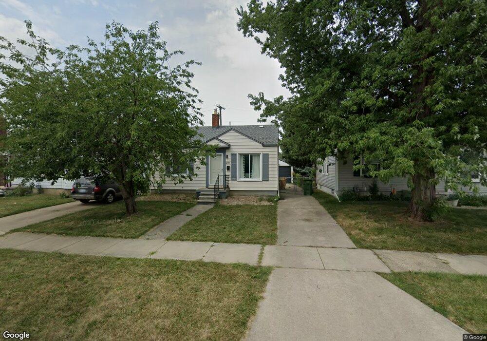
12746 Kerr St Southgate, MI 48195
Estimated Value: $133,957 - $155,000
2
Beds
1
Bath
720
Sq Ft
$203/Sq Ft
Est. Value
About This Home
This home is located at 12746 Kerr St, Southgate, MI 48195 and is currently estimated at $146,489, approximately $203 per square foot. 12746 Kerr St is a home located in Wayne County with nearby schools including Grogan Elementary School, Davidson Middle School, and Southgate Anderson High School.
Ownership History
Date
Name
Owned For
Owner Type
Purchase Details
Closed on
May 13, 2016
Sold by
Toler Steven
Bought by
Hines Betty
Current Estimated Value
Purchase Details
Closed on
Mar 20, 2008
Sold by
Bank Of New York
Bought by
Toler Steven W
Purchase Details
Closed on
Mar 12, 2007
Sold by
Mortgage Electronic Registration Systems
Bought by
Bank Of New York and Cwabs Inc Asset Backed Certificates Seri
Purchase Details
Closed on
Jan 24, 2007
Sold by
Plectcher David
Bought by
Mortgage Electronic Registration Systems
Purchase Details
Closed on
Sep 10, 2002
Sold by
Ritchie Kurt J
Bought by
Pletcher David
Home Financials for this Owner
Home Financials are based on the most recent Mortgage that was taken out on this home.
Original Mortgage
$86,985
Interest Rate
6.08%
Create a Home Valuation Report for This Property
The Home Valuation Report is an in-depth analysis detailing your home's value as well as a comparison with similar homes in the area
Home Values in the Area
Average Home Value in this Area
Purchase History
| Date | Buyer | Sale Price | Title Company |
|---|---|---|---|
| Hines Betty | -- | None Available | |
| Toler Steven W | $35,000 | Attorneys Title Agency Llc | |
| Bank Of New York | -- | None Available | |
| Mortgage Electronic Registration Systems | $104,715 | None Available | |
| Pletcher David | $87,675 | -- |
Source: Public Records
Mortgage History
| Date | Status | Borrower | Loan Amount |
|---|---|---|---|
| Previous Owner | Pletcher David | $86,985 |
Source: Public Records
Tax History Compared to Growth
Tax History
| Year | Tax Paid | Tax Assessment Tax Assessment Total Assessment is a certain percentage of the fair market value that is determined by local assessors to be the total taxable value of land and additions on the property. | Land | Improvement |
|---|---|---|---|---|
| 2025 | $2,756 | $58,100 | $0 | $0 |
| 2024 | $2,756 | $54,300 | $0 | $0 |
| 2023 | $1,909 | $49,100 | $0 | $0 |
| 2022 | $2,102 | $44,300 | $0 | $0 |
| 2021 | $2,355 | $40,100 | $0 | $0 |
| 2020 | $2,255 | $36,200 | $0 | $0 |
| 2019 | $2,216 | $33,000 | $0 | $0 |
| 2018 | $1,613 | $29,300 | $0 | $0 |
| 2017 | $681 | $27,400 | $0 | $0 |
| 2016 | $2,222 | $26,800 | $0 | $0 |
| 2015 | $2,415 | $25,900 | $0 | $0 |
| 2013 | $2,340 | $24,400 | $0 | $0 |
| 2012 | $1,753 | $23,000 | $4,300 | $18,700 |
Source: Public Records
Map
Nearby Homes
- 12937 Pullman St
- 13021 Cunningham St
- 13272 Venness St
- 13272 Callender St
- 1679 23rd St
- 13335 Pullman St
- 13395 Pullman St
- 12937 Walnut St
- 1645 22nd St
- 2253 20th St
- 13344 Birrell St
- 13371 Walnut St
- 1864 18th St
- 12753 Backus St
- 13296 Rosedale St
- 13459 Jobin St
- 13105 Oakdale St
- 13539 Walnut St
- 12945 Brest St
- 13631 Rosedale St