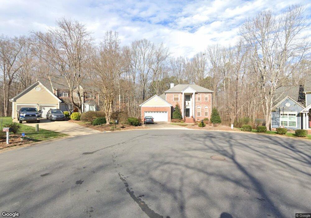
12748 Netherhall Dr Charlotte, NC 28269
Prosperity Church Road NeighborhoodEstimated Value: $409,000 - $448,000
4
Beds
3
Baths
2,180
Sq Ft
$197/Sq Ft
Est. Value
About This Home
This home is located at 12748 Netherhall Dr, Charlotte, NC 28269 and is currently estimated at $429,689, approximately $197 per square foot. 12748 Netherhall Dr is a home located in Mecklenburg County with nearby schools including Croft Community Elementary, Ridge Road Middle School, and Mallard Creek High School.
Ownership History
Date
Name
Owned For
Owner Type
Purchase Details
Closed on
Jul 27, 1999
Sold by
Living Trust Boshell Curtis J and Boshell Mary L
Bought by
Head Christopher C and Head Anne
Current Estimated Value
Home Financials for this Owner
Home Financials are based on the most recent Mortgage that was taken out on this home.
Original Mortgage
$156,750
Outstanding Balance
$44,552
Interest Rate
7.51%
Mortgage Type
Purchase Money Mortgage
Estimated Equity
$385,137
Create a Home Valuation Report for This Property
The Home Valuation Report is an in-depth analysis detailing your home's value as well as a comparison with similar homes in the area
Home Values in the Area
Average Home Value in this Area
Purchase History
| Date | Buyer | Sale Price | Title Company |
|---|---|---|---|
| Head Christopher C | $165,000 | -- |
Source: Public Records
Mortgage History
| Date | Status | Borrower | Loan Amount |
|---|---|---|---|
| Open | Head Christopher C | $156,750 |
Source: Public Records
Tax History Compared to Growth
Tax History
| Year | Tax Paid | Tax Assessment Tax Assessment Total Assessment is a certain percentage of the fair market value that is determined by local assessors to be the total taxable value of land and additions on the property. | Land | Improvement |
|---|---|---|---|---|
| 2025 | $3,038 | $381,000 | $80,000 | $301,000 |
| 2024 | $3,038 | $381,000 | $80,000 | $301,000 |
| 2023 | $2,934 | $381,000 | $80,000 | $301,000 |
| 2022 | $2,488 | $244,800 | $45,000 | $199,800 |
| 2021 | $2,477 | $244,800 | $45,000 | $199,800 |
| 2020 | $2,469 | $244,800 | $45,000 | $199,800 |
| 2019 | $2,454 | $244,800 | $45,000 | $199,800 |
| 2018 | $2,241 | $165,200 | $35,000 | $130,200 |
| 2017 | $2,201 | $165,200 | $35,000 | $130,200 |
| 2016 | $2,192 | $165,200 | $35,000 | $130,200 |
| 2015 | $2,180 | $165,200 | $35,000 | $130,200 |
| 2014 | $2,184 | $0 | $0 | $0 |
Source: Public Records
Map
Nearby Homes
- 4321 Silvermere Way
- 4045 Amber Leigh Way Dr
- 7718 Wiltshire Ridge Rd
- 10024 Avon Farm Ln
- 3111 Ewert Cut Ln
- 4306 Wynborough Ln
- 9701 Kent Village Dr
- 11931 Old Timber Rd
- 11850 Old Timber Rd
- 9614 Runswyck Ct
- 9608 Runswyck Ct
- 7106 Kinsmore Ln
- 7114 Kinsmore Ln
- 12315 Heritage Hills Ln
- 12042 Mallard Ridge Dr
- 3705 Armitage Dr
- 5106 Stone Park Dr
- 4107 Brownes Ferry Rd
- 10101 White Cascade Dr
- 3810 Yorkford Dr
- 12744 Netherhall Dr
- 12745 Netherhall Dr
- 12738 Netherhall Dr
- 12739 Netherhall Dr
- 4410 Rancliffe Ct
- 4416 Rancliffe Ct
- 12733 Netherhall Dr
- 4404 Rancliffe Ct
- 7548 Chapel Ridge Rd
- 12727 Netherhall Dr
- 7542 Chapel Ridge Rd
- 7552 Chapel Ridge Rd
- 7536 Chapel Ridge Rd
- 12721 Netherhall Dr
- 3203 Brownes Creek Rd
- 4400 Rancliffe Ct
- 7530 Chapel Ridge Rd
- 12321 Lookout Point Dr
- 12313 Lookout Point Dr
- 12325 Lookout Point Dr