12749 Brooks Meadow Dr Brooklyn, MI 49230
Estimated Value: $484,288 - $571,000
--
Bed
--
Bath
2,330
Sq Ft
$225/Sq Ft
Est. Value
About This Home
This home is located at 12749 Brooks Meadow Dr, Brooklyn, MI 49230 and is currently estimated at $524,322, approximately $225 per square foot. 12749 Brooks Meadow Dr is a home located in Jackson County with nearby schools including Columbia Lower Elementary School, Columbia Upper Elementary School, and Columbia Central Jr./Sr. High School.
Ownership History
Date
Name
Owned For
Owner Type
Purchase Details
Closed on
Mar 19, 2004
Sold by
Strohl Gerald F and Strohl Barbara
Bought by
Hall Matthew A and Hall Elizabeth A
Current Estimated Value
Home Financials for this Owner
Home Financials are based on the most recent Mortgage that was taken out on this home.
Original Mortgage
$265,200
Outstanding Balance
$124,550
Interest Rate
5.74%
Mortgage Type
Purchase Money Mortgage
Estimated Equity
$399,772
Create a Home Valuation Report for This Property
The Home Valuation Report is an in-depth analysis detailing your home's value as well as a comparison with similar homes in the area
Home Values in the Area
Average Home Value in this Area
Purchase History
| Date | Buyer | Sale Price | Title Company |
|---|---|---|---|
| Hall Matthew A | $331,500 | -- |
Source: Public Records
Mortgage History
| Date | Status | Borrower | Loan Amount |
|---|---|---|---|
| Open | Hall Matthew A | $265,200 |
Source: Public Records
Tax History Compared to Growth
Tax History
| Year | Tax Paid | Tax Assessment Tax Assessment Total Assessment is a certain percentage of the fair market value that is determined by local assessors to be the total taxable value of land and additions on the property. | Land | Improvement |
|---|---|---|---|---|
| 2024 | $2,385 | $214,300 | $0 | $0 |
| 2023 | $2,272 | $198,500 | $0 | $0 |
| 2022 | $3,304 | $170,800 | $0 | $0 |
| 2021 | $3,262 | $163,700 | $0 | $0 |
| 2020 | $3,226 | $160,400 | $0 | $0 |
| 2019 | $3,147 | $138,400 | $0 | $0 |
| 2018 | $3,076 | $128,000 | $0 | $0 |
| 2017 | $2,916 | $123,600 | $0 | $0 |
| 2016 | $1,926 | $109,100 | $109,100 | $0 |
| 2015 | $2,702 | $100,800 | $100,800 | $0 |
| 2014 | $2,702 | $95,800 | $0 | $0 |
| 2013 | -- | $95,800 | $95,800 | $0 |
Source: Public Records
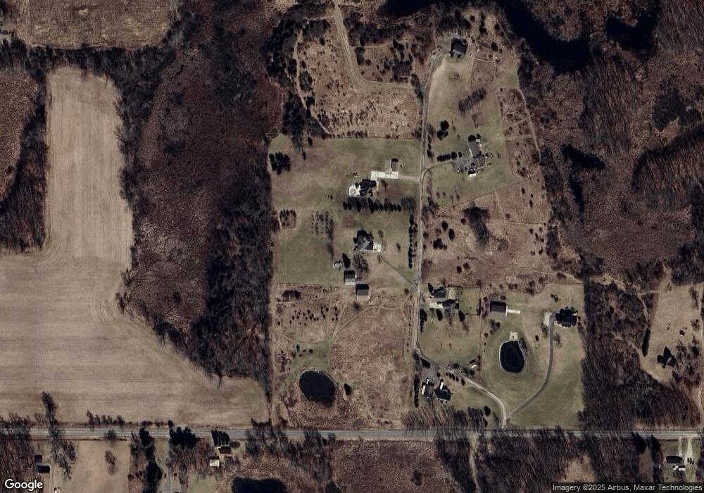
Map
Nearby Homes
- 6977 Cement City Rd
- 1268 Maple Ln
- 15255 Wheaton Rd
- 6416 Kelley Rd
- 227 Riviera Dr
- 99 Nottingham Dr
- 215 Nottingham Dr
- 0 Lot 44 & 45 Wilkshire Dr Unit 25044305
- 12938 Kelley Rd
- 200 Barbara Dr
- 104 High View Ct
- VL Kirkley Dr
- 320 Nottingham Dr
- 00 Ambler Dr
- 207 Ambler Dr
- 126 E Princess Dr
- 7943 Cement City Rd
- 123 Carlysle Dr
- VL Carlysle Dr
- 125 W Princess Dr
- 12725 Brooks Meadow Dr
- 12800 Brooks Meadow Dr
- Parcel D Brooks Meadow Dr
- 0 Brooks Meadow Dr
- 12700 Brooks Meadow Dr
- 14640 Taylor Rd
- 14640 Taylor Rd
- 14640 Taylor Rd
- 14640 Taylor Rd
- 14640 Taylor Rd Unit 14640 Brooks Meadow
- 14640 Taylor Rd Unit 14640,14640 Brooks M
- 14633 Taylor Rd
- 14633 Taylor Rd Unit TAYLOR
- 12600 Brooks Meadow Dr
- 14803 County Line Rd
- 14328 Taylor Rd
- 14307 Taylor Rd
- 14309 Taylor Rd
- 14331 Taylor Rd
- 14641 Taylor Rd