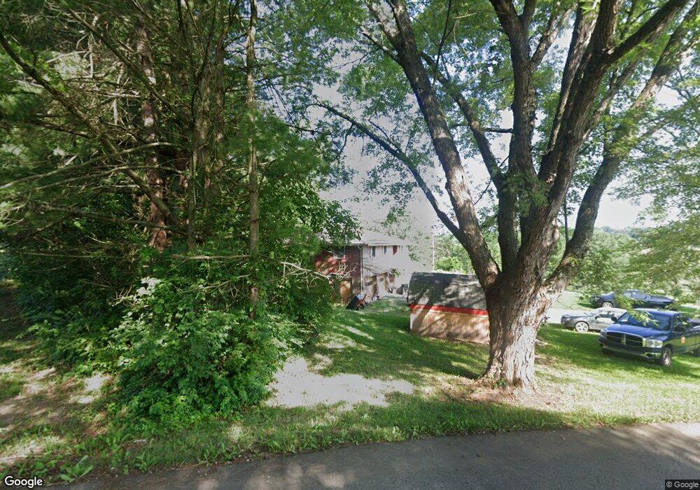
1275 Carrie Cir Zanesville, OH 43701
Estimated Value: $291,000 - $333,776
3
Beds
2
Baths
1,500
Sq Ft
$211/Sq Ft
Est. Value
About This Home
This home is located at 1275 Carrie Cir, Zanesville, OH 43701 and is currently estimated at $317,194, approximately $211 per square foot. 1275 Carrie Cir is a home located in Muskingum County with nearby schools including Philo High School, Bishop Fenwick School, and Zanesville Christian School.
Ownership History
Date
Name
Owned For
Owner Type
Purchase Details
Closed on
May 15, 2019
Sold by
Roberts Gerald Ray and Roberts Jean Ann
Bought by
The Roberts Trust
Current Estimated Value
Home Financials for this Owner
Home Financials are based on the most recent Mortgage that was taken out on this home.
Original Mortgage
$50,000
Interest Rate
4.1%
Mortgage Type
Credit Line Revolving
Create a Home Valuation Report for This Property
The Home Valuation Report is an in-depth analysis detailing your home's value as well as a comparison with similar homes in the area
Home Values in the Area
Average Home Value in this Area
Purchase History
| Date | Buyer | Sale Price | Title Company |
|---|---|---|---|
| The Roberts Trust | -- | None Available |
Source: Public Records
Mortgage History
| Date | Status | Borrower | Loan Amount |
|---|---|---|---|
| Closed | The Roberts Trust | $50,000 |
Source: Public Records
Tax History Compared to Growth
Tax History
| Year | Tax Paid | Tax Assessment Tax Assessment Total Assessment is a certain percentage of the fair market value that is determined by local assessors to be the total taxable value of land and additions on the property. | Land | Improvement |
|---|---|---|---|---|
| 2024 | $2,338 | $72,485 | $12,950 | $59,535 |
| 2023 | $1,830 | $53,865 | $10,605 | $43,260 |
| 2022 | $1,754 | $53,865 | $10,605 | $43,260 |
| 2021 | $1,771 | $53,865 | $10,605 | $43,260 |
| 2020 | $1,643 | $48,930 | $9,625 | $39,305 |
| 2019 | $1,639 | $48,930 | $9,625 | $39,305 |
| 2018 | $838 | $48,930 | $9,625 | $39,305 |
| 2017 | $1,474 | $40,215 | $9,625 | $30,590 |
| 2016 | $1,417 | $40,220 | $9,630 | $30,590 |
| 2015 | $1,456 | $40,220 | $9,630 | $30,590 |
| 2013 | $1,565 | $40,220 | $9,630 | $30,590 |
Source: Public Records
Map
Nearby Homes
- 2465 Clay Pike
- 2383 Chandlersville Rd
- 240 Mockingbird Hill
- 440 Stardust Cir
- 2850 Watson Way
- 5100 Ellerman Rd
- 2425 S Pleasant Grove Rd
- 3620 Old Wheeling Rd
- 0 East Pike Unit 5163133
- 1636 Sharon Ave
- 330 Jordan Ave
- 2870 Cody Dr
- 2435 Odessa Dr
- 1332 Sunrise Ave
- 2755 N Lawndale Place
- 496 Pleasant Grove Rd
- 484 Haessler Ave
- 1365 Sharon (Rear) Ave
- 1436 Saint John St
- 1328 Pallas Ave
- 1290 Kevrob Dr
- 1290 Carrie Cir
- 1321 Carrie Cir
- 1305 Carrie Cir
- 1295 Kevrob Dr
- 1240 Kevrob Dr
- 3280 Chandlersville Rd
- 1245 Kevrob Dr
- 1220 Kevrob Dr
- 1355 Carrie Cir
- 1225 Kevrob Dr
- 1240 Carrie Cir
- 1420 Carrie Cir
- 3220 Chandlersville Rd
- 1450 Carrie Cir
- 3350 Chandlersville Rd
- 1385 Carrie Cir
- 3360 Chandlersville Rd
- 1460 Carrie Cir
- 0 Carrie Cir