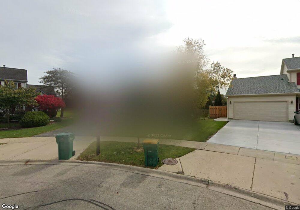
1275 Euclid Ct Buffalo Grove, IL 60089
Estimated Value: $679,000 - $725,000
4
Beds
3
Baths
2,220
Sq Ft
$316/Sq Ft
Est. Value
About This Home
This home is located at 1275 Euclid Ct, Buffalo Grove, IL 60089 and is currently estimated at $701,449, approximately $315 per square foot. 1275 Euclid Ct is a home located in Lake County with nearby schools including Meridian Middle School, Tripp Elementary School, and Aptakisic Junior High School.
Ownership History
Date
Name
Owned For
Owner Type
Purchase Details
Closed on
Jan 14, 2022
Sold by
Israel and Merav
Bought by
Israel Isaac and Israel Merav
Current Estimated Value
Home Financials for this Owner
Home Financials are based on the most recent Mortgage that was taken out on this home.
Original Mortgage
$396,000
Interest Rate
2.13%
Mortgage Type
New Conventional
Purchase Details
Closed on
Apr 3, 2017
Sold by
Chappe Richard M and Chappe Ellen J
Bought by
Meray Israel Itsik and Meray Israel
Home Financials for this Owner
Home Financials are based on the most recent Mortgage that was taken out on this home.
Original Mortgage
$405,000
Interest Rate
3.25%
Mortgage Type
Adjustable Rate Mortgage/ARM
Create a Home Valuation Report for This Property
The Home Valuation Report is an in-depth analysis detailing your home's value as well as a comparison with similar homes in the area
Home Values in the Area
Average Home Value in this Area
Purchase History
| Date | Buyer | Sale Price | Title Company |
|---|---|---|---|
| Israel Isaac | -- | Boston National Title Agency | |
| Meray Israel Itsik | $450,000 | Chicago Title Insurance Comp |
Source: Public Records
Mortgage History
| Date | Status | Borrower | Loan Amount |
|---|---|---|---|
| Previous Owner | Israel Isaac | $396,000 | |
| Previous Owner | Meray Israel Itsik | $405,000 |
Source: Public Records
Tax History Compared to Growth
Tax History
| Year | Tax Paid | Tax Assessment Tax Assessment Total Assessment is a certain percentage of the fair market value that is determined by local assessors to be the total taxable value of land and additions on the property. | Land | Improvement |
|---|---|---|---|---|
| 2024 | $17,023 | $190,992 | $54,761 | $136,231 |
| 2023 | $14,885 | $173,284 | $49,684 | $123,600 |
| 2022 | $14,885 | $158,359 | $45,405 | $112,954 |
| 2021 | $14,358 | $156,651 | $44,915 | $111,736 |
| 2020 | $14,969 | $166,755 | $45,068 | $121,687 |
| 2019 | $14,572 | $166,140 | $44,902 | $121,238 |
| 2018 | $13,454 | $153,569 | $48,810 | $104,759 |
| 2017 | $13,279 | $149,985 | $47,671 | $102,314 |
| 2016 | $14,521 | $161,893 | $45,649 | $116,244 |
| 2015 | $14,241 | $151,401 | $42,691 | $108,710 |
| 2014 | $12,971 | $136,941 | $45,851 | $91,090 |
| 2012 | $12,825 | $137,216 | $45,943 | $91,273 |
Source: Public Records
Map
Nearby Homes
- 1272 Sandhurst Dr
- 15 Thompson Ct
- 1012 Hobson Dr
- 1113 Lockwood Dr
- 1118 Larraway Dr
- 148 White Branch Ct
- 938 Hidden Lake Dr
- 538 Lasalle Ct
- 51 W Fabish Dr
- 60 E Fabish Dr
- 1157 Russellwood Ct
- 327 Lasalle Ln
- 22118 N Prairie Rd
- 720 Dunhill Dr
- 381 Bentley Place
- 1265 Devonshire Rd
- 268 Hoffmann Dr
- 12 Aberdeen Ct
- 931 Shady Grove Ln
- 361 Hoffmann Dr
- 1285 Euclid Ct
- 1265 Euclid Ct
- 115 Old Barn Ct
- 117 Old Barn Ct
- 55 Thompson Ct
- 1295 Euclid Ct
- 1255 Euclid Ct
- 45 Thompson Ct
- 65 Thompson Ct
- 113 Old Barn Ct
- 1245 Euclid Ct
- 119 Old Barn Ct
- 131 Thompson Blvd
- 111 Old Barn Ct
- 1305 Hidden Lake Dr
- 35 Thompson Ct
- 1303 Hidden Lake Dr
- 1307 Hidden Lake Dr
- 141 Thompson Blvd
- 1276 Sandhurst Dr