Estimated Value: $312,044 - $344,000
3
Beds
3
Baths
1,100
Sq Ft
$302/Sq Ft
Est. Value
About This Home
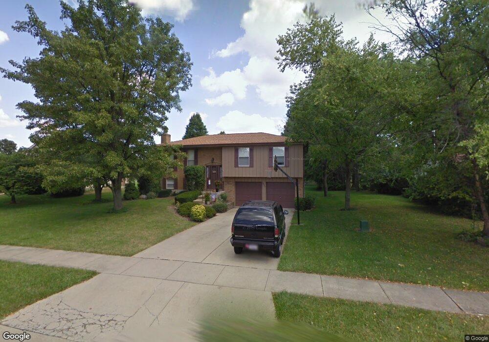
This home is located at 1275 Kay Dr, Mason, OH 45040 and is currently estimated at $332,511, approximately $302 per square foot. 1275 Kay Dr is a home located in Warren County with nearby schools including Mason Intermediate Elementary School, Mason Middle School, and William Mason High School.
Ownership History
Date
Name
Owned For
Owner Type
Purchase Details
Closed on
Apr 28, 1987
Sold by
Fca Mortgage Corporation
Bought by
Harpold and Harpold Keith E
Current Estimated Value
Purchase Details
Closed on
Mar 24, 1987
Sold by
Debronkart Debronkart and Debronkart Kenneth H
Bought by
Fca Mortgage Corporation
Purchase Details
Closed on
Jun 26, 1986
Sold by
Debronkart Kenneth H and Debronkart Kenneth H
Bought by
Debronkart and Debronkart Kenneth H
Purchase Details
Closed on
Sep 13, 1983
Sold by
Ryland Group & Inc
Bought by
Debronkart and Debronkart Kenneth H
Purchase Details
Closed on
Jul 7, 1983
Sold by
P Development Company
Bought by
Ryland Group & Inc.
Purchase Details
Closed on
Apr 12, 1983
Sold by
Iti Corporation
Bought by
P Development Company
Purchase Details
Closed on
Jun 20, 1980
Sold by
Iti Corporation
Create a Home Valuation Report for This Property
The Home Valuation Report is an in-depth analysis detailing your home's value as well as a comparison with similar homes in the area
Home Values in the Area
Average Home Value in this Area
Purchase History
| Date | Buyer | Sale Price | Title Company |
|---|---|---|---|
| Harpold | $69,000 | -- | |
| Fca Mortgage Corporation | $50,000 | -- | |
| Debronkart | -- | -- | |
| Debronkart | $74,700 | -- | |
| Ryland Group & Inc. | $39,900 | -- | |
| P Development Company | -- | -- | |
| -- | -- | -- |
Source: Public Records
Tax History
| Year | Tax Paid | Tax Assessment Tax Assessment Total Assessment is a certain percentage of the fair market value that is determined by local assessors to be the total taxable value of land and additions on the property. | Land | Improvement |
|---|---|---|---|---|
| 2025 | $3,414 | $84,080 | $24,500 | $59,580 |
| 2024 | $3,414 | $84,080 | $24,500 | $59,580 |
| 2023 | $3,075 | $63,973 | $10,762 | $53,210 |
| 2022 | $3,035 | $63,973 | $10,763 | $53,211 |
| 2021 | $2,875 | $63,973 | $10,763 | $53,211 |
| 2020 | $2,727 | $52,010 | $8,750 | $43,260 |
| 2019 | $2,507 | $52,010 | $8,750 | $43,260 |
| 2018 | $2,515 | $52,010 | $8,750 | $43,260 |
| 2017 | $2,323 | $44,842 | $8,274 | $36,568 |
| 2016 | $2,393 | $44,842 | $8,274 | $36,568 |
| 2015 | $2,398 | $44,842 | $8,274 | $36,568 |
| 2014 | $2,403 | $41,910 | $7,730 | $34,170 |
| 2013 | $2,408 | $47,430 | $8,750 | $38,680 |
Source: Public Records
Map
Nearby Homes
- 6300 Amber Ct
- 6404 Coverage Ct
- 6394 Coverage Ct
- 6382 Coverage Ct
- 6411 Coverage Ct
- 6378 Coverage Ct
- 6364 Coverage Ct
- 792 Majken Place
- 6354 Coverage Ct
- 6403 Nicholas Way
- 6393 Nicholas Way
- 6358 Coverage Ct
- 6179 Nicholas Way
- 6379 Coverage Ct
- 6175 Nicholas Way
- 6375 Coverage Ct
- 6171 Nicholas Way
- 6342 Coverage Ct
- 6361 Coverage Ct
- 6160 Nicholas Way
Your Personal Tour Guide
Ask me questions while you tour the home.