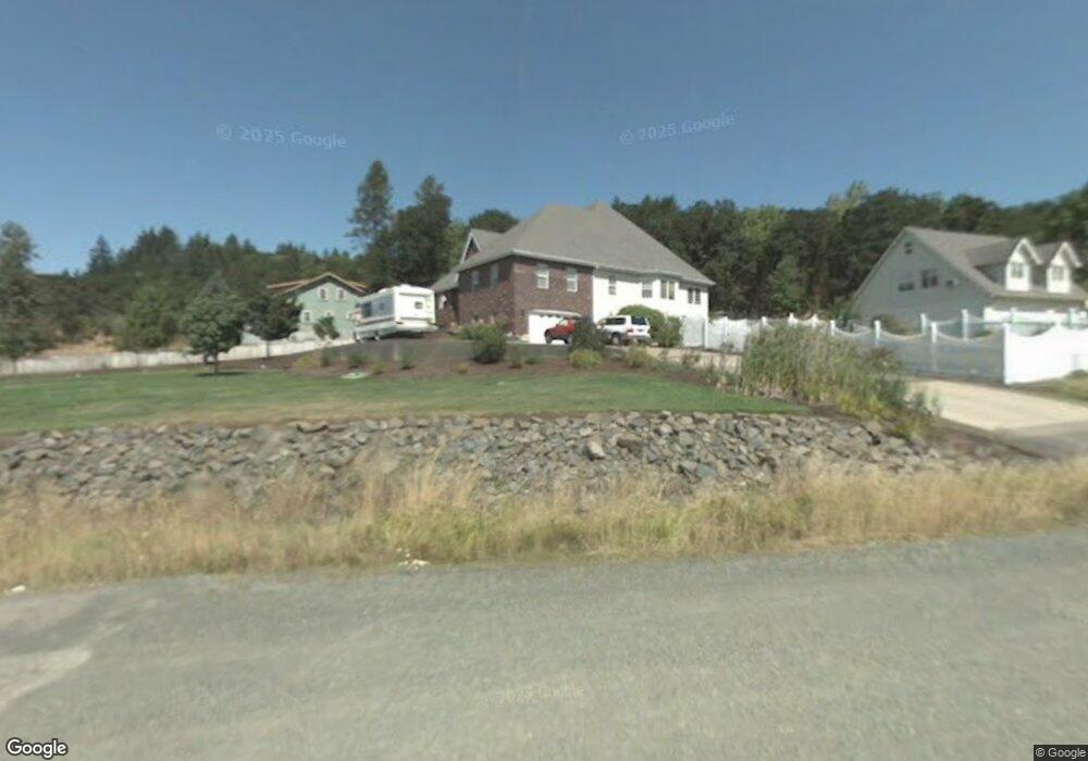
1275 S 2nd St Springfield, OR 97477
Midtown South Springfield NeighborhoodEstimated Value: $867,000 - $1,249,000
5
Beds
3
Baths
5,004
Sq Ft
$218/Sq Ft
Est. Value
About This Home
This home is located at 1275 S 2nd St, Springfield, OR 97477 and is currently estimated at $1,092,458, approximately $218 per square foot. 1275 S 2nd St is a home located in Lane County with nearby schools including Two Rivers Dos Rios Elementary School, Hamlin Middle School, and Springfield High School.
Ownership History
Date
Name
Owned For
Owner Type
Purchase Details
Closed on
Apr 29, 2021
Sold by
Wirfs Thomas G and Wirfs Diane M
Bought by
Wirfs Thomas G and Wirfs Diane M
Current Estimated Value
Purchase Details
Closed on
Dec 29, 2011
Sold by
Wirfs Diane M
Bought by
Wirfs Thomas G and Wirfs Diane M
Create a Home Valuation Report for This Property
The Home Valuation Report is an in-depth analysis detailing your home's value as well as a comparison with similar homes in the area
Home Values in the Area
Average Home Value in this Area
Purchase History
| Date | Buyer | Sale Price | Title Company |
|---|---|---|---|
| Wirfs Thomas G | -- | None Available | |
| Wirfs Thomas G | -- | Western Title & Escrow |
Source: Public Records
Tax History
| Year | Tax Paid | Tax Assessment Tax Assessment Total Assessment is a certain percentage of the fair market value that is determined by local assessors to be the total taxable value of land and additions on the property. | Land | Improvement |
|---|---|---|---|---|
| 2025 | $11,390 | $816,994 | -- | -- |
| 2024 | $11,082 | $793,199 | -- | -- |
| 2023 | $11,082 | $770,097 | $0 | $0 |
| 2022 | $10,540 | $747,667 | $0 | $0 |
| 2021 | $10,316 | $725,891 | $0 | $0 |
| 2020 | $10,017 | $704,749 | $0 | $0 |
| 2019 | $9,663 | $684,223 | $0 | $0 |
| 2018 | $9,357 | $644,947 | $0 | $0 |
| 2017 | $9,045 | $644,947 | $0 | $0 |
| 2016 | $8,812 | $626,162 | $0 | $0 |
| 2015 | $8,568 | $607,924 | $0 | $0 |
| 2014 | $8,324 | $590,217 | $0 | $0 |
Source: Public Records
Map
Nearby Homes
- 683 Oak St
- 540 S 6th
- 501 S 5th St
- 502 S 6th St
- 452 S 4th St
- 504 S 3rd St
- 4531 Franklin Blvd Unit 92
- 4531 Franklin Blvd
- 4531 Franklin Blvd Unit 117
- 4395 E 20th Ave
- 65 Kremont Ave
- 1863 Inland Way
- 488 Main St
- 3955 E 17th Ave
- 3740 Rockcress Rd
- 3773 Rockcress Rd
- 239 D St
- 2623 Cascara Dr
- 0 Cascara Dr Unit 84
- 0 Cascara Dr Unit 64
- 1259 S 2nd St
- 357 Oak St
- 0 S 2nd St
- 1325 S 2nd St
- 12 Oak St Unit 12
- 295 Oak St
- 1354 S 2nd St
- 210 Ash St
- 357 Oak St
- 0 Lot 8 of Block 11 Unit 8 18544831
- 0 Lot 9 of Block 11 Unit 9 19465043
- 1250 S 2nd St
- 0 S Ash St Unit 22486084
- 0 S Ash St Unit 6 21173365
- 0 S Ash St
- 206 Ash St
- 1360 S 2nd St
- 203 Ash St
- 485 Oak St
- 727 Oak St
Your Personal Tour Guide
Ask me questions while you tour the home.