1275 S Massachusetts Ave Deland, FL 32724
Estimated Value: $406,573 - $514,000
3
Beds
2
Baths
1,704
Sq Ft
$267/Sq Ft
Est. Value
About This Home
This home is located at 1275 S Massachusetts Ave, Deland, FL 32724 and is currently estimated at $454,893, approximately $266 per square foot. 1275 S Massachusetts Ave is a home located in Volusia County with nearby schools including Freedom Elementary School, Deland High School, and Deland Middle School.
Ownership History
Date
Name
Owned For
Owner Type
Purchase Details
Closed on
Mar 14, 2014
Sold by
Gutgesell Rosemarie and Gutgesell Guenther
Bought by
Wise Phillip Mount and Wise Christine Armstrong
Current Estimated Value
Home Financials for this Owner
Home Financials are based on the most recent Mortgage that was taken out on this home.
Original Mortgage
$211,765
Outstanding Balance
$160,266
Interest Rate
4.3%
Mortgage Type
VA
Estimated Equity
$294,627
Purchase Details
Closed on
Nov 26, 2012
Sold by
Gutgesell Rosemarie and Gutgesell Guenther
Bought by
Gutgesell Rosemarie and Bauss Heidi
Purchase Details
Closed on
Dec 15, 1987
Bought by
Wise Phillip Mount
Purchase Details
Closed on
Oct 15, 1972
Bought by
Wise Phillip Mount
Create a Home Valuation Report for This Property
The Home Valuation Report is an in-depth analysis detailing your home's value as well as a comparison with similar homes in the area
Home Values in the Area
Average Home Value in this Area
Purchase History
| Date | Buyer | Sale Price | Title Company |
|---|---|---|---|
| Wise Phillip Mount | $205,000 | Esquire Title Services Inc | |
| Gutgesell Rosemarie | -- | Attorney | |
| Wise Phillip Mount | $25,000 | -- | |
| Wise Phillip Mount | $7,000 | -- |
Source: Public Records
Mortgage History
| Date | Status | Borrower | Loan Amount |
|---|---|---|---|
| Open | Wise Phillip Mount | $211,765 |
Source: Public Records
Tax History Compared to Growth
Tax History
| Year | Tax Paid | Tax Assessment Tax Assessment Total Assessment is a certain percentage of the fair market value that is determined by local assessors to be the total taxable value of land and additions on the property. | Land | Improvement |
|---|---|---|---|---|
| 2025 | $357 | $195,145 | -- | -- |
| 2024 | $357 | $189,646 | -- | -- |
| 2023 | $357 | $184,123 | $0 | $0 |
| 2022 | $334 | $178,760 | $0 | $0 |
| 2021 | $334 | $173,553 | $0 | $0 |
| 2020 | $327 | $171,157 | $0 | $0 |
| 2019 | $327 | $167,309 | $0 | $0 |
| 2018 | $310 | $164,189 | $0 | $0 |
| 2017 | $282 | $160,812 | $0 | $0 |
| 2016 | $262 | $157,504 | $0 | $0 |
| 2015 | $262 | $156,409 | $0 | $0 |
| 2014 | $1,462 | $123,577 | $0 | $0 |
Source: Public Records
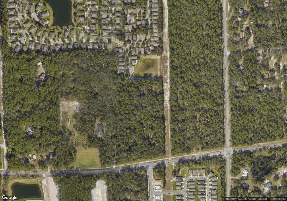
Map
Nearby Homes
- 704 Preakness Cir
- 680 Preakness Cir
- 1692 Blue Grass Blvd
- 319 Secretariat Ct
- 1632 Blue Grass Blvd
- 0 S Blue Lake Ave Unit MFRO6318381
- 0 S Blue Lake Ave Unit V4923661
- 310 Stakes Ct
- 151 Saddlebrook Way
- 1112 E Beresford Ave
- 1410 Shady Meadow Ln
- 1420 Shady Meadow Ln
- 102 Tuscan Terrace
- 1017 Liliana Dr
- 440 Baroness Way
- 820 S Hill Ave Unit 40
- 1518 Tregan Ave
- 1540 Bent Oaks Blvd
- 630 W Blue Lake Terrace
- 13 Fairway Ct Unit 13
- 1065 S Massachusetts Ave
- 728 Preakness Cir
- 692 Preakness Cir
- 700 Preakness Cir
- 704 704 Preakness Cir
- 684 Preakness Cir
- 696 Preakness Cir
- 708 Preakness Cir
- 676 Preakness Cir
- 712 Preakness Cir
- 1050 S Massachusetts Ave
- 672 Preakness Cir
- 716 Preakness Cir
- 668 Preakness Cir
- 720 Preakness Cir
- 1060 S Massachusetts Ave
- 693 Preakness Cir
- 689 Preakness Cir
- 705 Preakness Cir
- 701 Preakness Cir