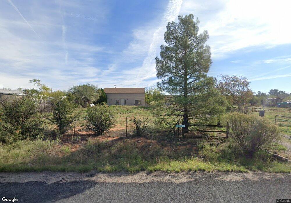
1275 S Western Dr Cornville, AZ 86325
Estimated Value: $558,000 - $784,000
4
Beds
2
Baths
2,923
Sq Ft
$232/Sq Ft
Est. Value
About This Home
This home is located at 1275 S Western Dr, Cornville, AZ 86325 and is currently estimated at $677,112, approximately $231 per square foot. 1275 S Western Dr is a home located in Yavapai County with nearby schools including Oak Creek School, Cottonwood Community School, and Cottonwood Middle School.
Ownership History
Date
Name
Owned For
Owner Type
Purchase Details
Closed on
Jun 2, 2014
Sold by
Norton Victoria L
Bought by
Tan Koh and Tan Shiaki
Current Estimated Value
Home Financials for this Owner
Home Financials are based on the most recent Mortgage that was taken out on this home.
Original Mortgage
$165,600
Interest Rate
4.13%
Mortgage Type
New Conventional
Purchase Details
Closed on
Apr 24, 2008
Sold by
Norton Victoria L
Bought by
Leister Jason D and Leister Maryn
Home Financials for this Owner
Home Financials are based on the most recent Mortgage that was taken out on this home.
Original Mortgage
$339,000
Interest Rate
6.04%
Mortgage Type
Seller Take Back
Purchase Details
Closed on
May 13, 2002
Sold by
Wirth Harold L
Bought by
Norton Victoria L
Home Financials for this Owner
Home Financials are based on the most recent Mortgage that was taken out on this home.
Original Mortgage
$95,000
Interest Rate
6.83%
Mortgage Type
Seller Take Back
Create a Home Valuation Report for This Property
The Home Valuation Report is an in-depth analysis detailing your home's value as well as a comparison with similar homes in the area
Home Values in the Area
Average Home Value in this Area
Purchase History
| Date | Buyer | Sale Price | Title Company |
|---|---|---|---|
| Tan Koh | $207,000 | Stewart Title & Trust | |
| Leister Jason D | $359,000 | First American Title Ins | |
| Norton Victoria L | $120,000 | First American Title |
Source: Public Records
Mortgage History
| Date | Status | Borrower | Loan Amount |
|---|---|---|---|
| Previous Owner | Tan Koh | $165,600 | |
| Previous Owner | Leister Jason D | $339,000 | |
| Previous Owner | Norton Victoria L | $95,000 |
Source: Public Records
Tax History Compared to Growth
Tax History
| Year | Tax Paid | Tax Assessment Tax Assessment Total Assessment is a certain percentage of the fair market value that is determined by local assessors to be the total taxable value of land and additions on the property. | Land | Improvement |
|---|---|---|---|---|
| 2026 | $2,435 | $54,548 | -- | -- |
| 2024 | $2,300 | $50,223 | -- | -- |
| 2023 | $2,340 | $40,690 | $5,318 | $35,372 |
| 2022 | $2,300 | $32,732 | $4,163 | $28,569 |
| 2021 | $2,402 | $30,270 | $4,293 | $25,977 |
| 2020 | $2,358 | $0 | $0 | $0 |
| 2019 | $2,317 | $0 | $0 | $0 |
| 2018 | $2,223 | $0 | $0 | $0 |
| 2017 | $2,125 | $0 | $0 | $0 |
| 2016 | $2,072 | $0 | $0 | $0 |
| 2015 | -- | $0 | $0 | $0 |
| 2014 | -- | $0 | $0 | $0 |
Source: Public Records
Map
Nearby Homes
- 4444 S Western Dr Unit 573
- 1220 S Eastern Dr
- 11310 E Circle Dr
- 10875 E Stingray Ln
- 1380 S Mountain View Rd
- 11365 E Adams Ln
- 10465 E Creekview Dr
- 1665 S Mountain View Rd
- 12155 E Ladera Ct
- 1505 S Rancho Casero Dr
- 1505 S Rancho Casero Dr
- 1733 S Sugarloaf Rd
- 960 N Aspaas Rd
- 10883 E Pear Tree Dr Unit 14
- 10881 E Pear Tree Dr Unit 15
- 1500 Whatever Way
- 10170 S Mels Rd
- 10885 E Pear Tree Dr
- 1970 Equestrian Way
- 0 S Loy St Unit 6928292
- 11295 E Cornville Rd Unit 25
- 11295 E Cornville Rd
- 1280 S Central Dr
- 1290 S Western Dr
- 11375 E Cornville Rd
- 11315 E Cornville Rd
- 1245 S Central Dr
- 1246 Angel Crest Dr
- 11425 E Cornville Rd Unit 3
- 11425 E Cornville Rd
- 1230 S Angel Crest Dr
- 1260 Angel Crest Dr
- 1260 Angel Crest Dr
- 1340 S Central Dr
- 11315 E Circle Dr
- 1350 S Western Dr
- 1280 S Eastern Dr