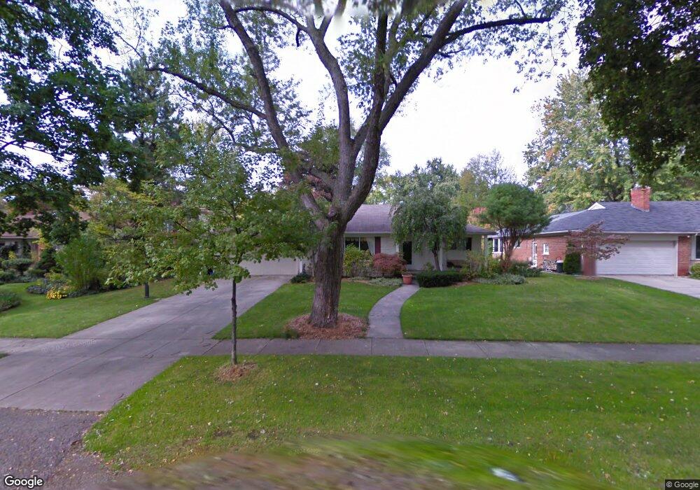
1275 Suffield Ave Birmingham, MI 48009
Estimated Value: $924,000 - $1,402,000
3
Beds
2
Baths
2,356
Sq Ft
$480/Sq Ft
Est. Value
About This Home
This home is located at 1275 Suffield Ave, Birmingham, MI 48009 and is currently estimated at $1,131,176, approximately $480 per square foot. 1275 Suffield Ave is a home located in Oakland County with nearby schools including Quarton Elementary, Derby Middle School, and Ernest W. Seaholm High School.
Ownership History
Date
Name
Owned For
Owner Type
Purchase Details
Closed on
Jul 18, 2013
Sold by
Rkd Llc
Bought by
Suffield Property Llc
Current Estimated Value
Purchase Details
Closed on
Jan 22, 2013
Sold by
Lenchner Lawrence C and Lenchner Arleen K
Bought by
Rkd Llc
Purchase Details
Closed on
Jun 30, 2009
Sold by
Lenchner Lawrence C and Lenchner Arleen K
Bought by
Federal National Mortgage Association
Purchase Details
Closed on
Feb 10, 2008
Sold by
National City Mortgage Services Co
Bought by
Federal National Mortgage Association
Purchase Details
Closed on
Dec 4, 2007
Sold by
Lenchner Lawrence C and Lenchner Arleen K
Bought by
National City Mortgage Services Co
Create a Home Valuation Report for This Property
The Home Valuation Report is an in-depth analysis detailing your home's value as well as a comparison with similar homes in the area
Home Values in the Area
Average Home Value in this Area
Purchase History
| Date | Buyer | Sale Price | Title Company |
|---|---|---|---|
| Suffield Property Llc | -- | None Available | |
| Rkd Llc | $315,979 | None Available | |
| Federal National Mortgage Association | $304,682 | None Available | |
| Federal National Mortgage Association | -- | None Available | |
| National City Mortgage Services Co | $311,390 | None Available |
Source: Public Records
Tax History
| Year | Tax Paid | Tax Assessment Tax Assessment Total Assessment is a certain percentage of the fair market value that is determined by local assessors to be the total taxable value of land and additions on the property. | Land | Improvement |
|---|---|---|---|---|
| 2025 | $14,950 | $459,190 | $0 | $0 |
| 2024 | $11,746 | $418,530 | $0 | $0 |
| 2023 | $11,210 | $417,780 | $0 | $0 |
| 2022 | $13,514 | $366,940 | $0 | $0 |
| 2021 | $13,173 | $355,630 | $0 | $0 |
| 2020 | $10,446 | $337,000 | $0 | $0 |
| 2019 | $12,942 | $329,070 | $0 | $0 |
| 2018 | $12,654 | $319,950 | $0 | $0 |
| 2017 | $12,472 | $310,510 | $0 | $0 |
| 2016 | $12,419 | $291,590 | $0 | $0 |
| 2015 | -- | $274,080 | $0 | $0 |
| 2014 | -- | $228,420 | $0 | $0 |
| 2011 | -- | $224,640 | $0 | $0 |
Source: Public Records
Map
Nearby Homes
- 1444 Fairfax St
- 1094 Suffield Ave
- 1183 Puritan Ave
- 1120 Lyonhurst St
- 1295 Lakeside Dr
- 1551 Lakeside Dr
- 1882 Melbourne St
- 1115 N Old Woodward Ave Unit 52
- 1115 N Old Woodward Ave Unit 61
- 1115 N Old Woodward #76 Ave
- 1115 N Old Woodward Ave
- 1111 N Old Woodward Ave Unit 4
- 1111 N Old Woodward Ave Unit 23
- 592 Lakeside Dr
- 750 Hazelwood St
- 670 Oak Ave
- 667 Oak Ave
- 341 Lowell Ct
- 363 Lakewood Dr
- 60 Quarton Ln
- 1245 Suffield Ave
- 1291 Suffield Ave Unit Bldg-Unit
- 1291 Suffield Ave
- 1280 Fairfax St
- 1321 Suffield Ave
- 1225 Suffield Ave
- 1252 Fairfax St
- 1340 Fairfax St
- 1268 Suffield Ave
- 1280 Suffield Ave
- 1222 Fairfax St Unit Bldg-Unit
- 1222 Fairfax St
- 1234 Suffield Ave
- 1193 Suffield Ave
- 1226 Suffield Ave
- 1320 Suffield Ave
- 1355 Suffield Ave
- 1356 Fairfax St
- 1194 Fairfax St
- 1196 Suffield Ave
Your Personal Tour Guide
Ask me questions while you tour the home.