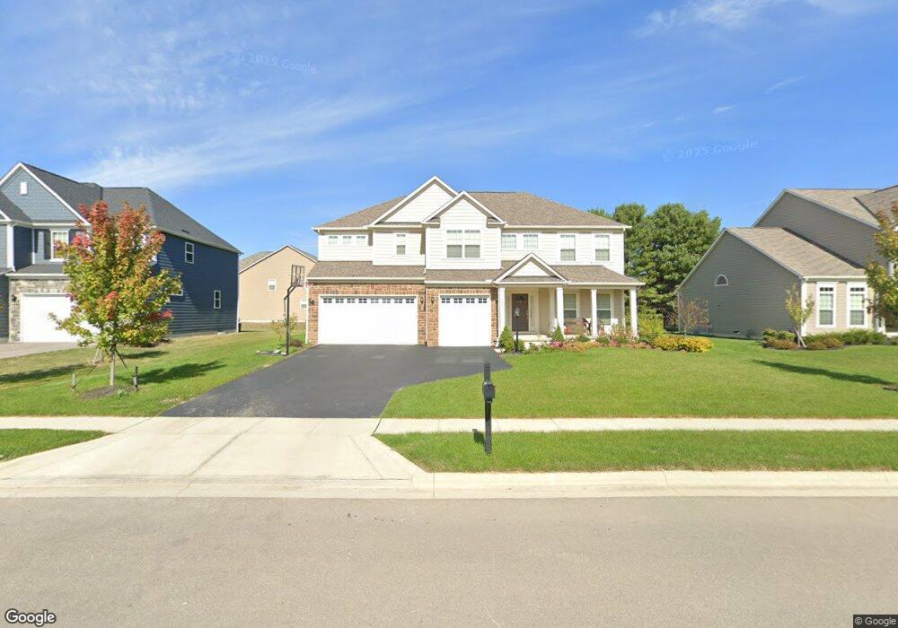
1275 Swanton St Lewis Center, OH 43035
Orange NeighborhoodEstimated Value: $709,772 - $852,000
4
Beds
4
Baths
3,656
Sq Ft
$212/Sq Ft
Est. Value
About This Home
This home is located at 1275 Swanton St, Lewis Center, OH 43035 and is currently estimated at $773,693, approximately $211 per square foot. 1275 Swanton St is a home with nearby schools including Heritage Elementary School, Olentangy Shanahan Middle School, and Olentangy High School.
Ownership History
Date
Name
Owned For
Owner Type
Purchase Details
Closed on
Jun 30, 2016
Sold by
Rockford Homes Inc
Bought by
Murugavbel Senthikumar and Sivasubramanian Ramya
Current Estimated Value
Home Financials for this Owner
Home Financials are based on the most recent Mortgage that was taken out on this home.
Original Mortgage
$394,077
Outstanding Balance
$315,401
Interest Rate
3.66%
Mortgage Type
New Conventional
Estimated Equity
$458,292
Create a Home Valuation Report for This Property
The Home Valuation Report is an in-depth analysis detailing your home's value as well as a comparison with similar homes in the area
Home Values in the Area
Average Home Value in this Area
Purchase History
| Date | Buyer | Sale Price | Title Company |
|---|---|---|---|
| Murugavbel Senthikumar | -- | None Available |
Source: Public Records
Mortgage History
| Date | Status | Borrower | Loan Amount |
|---|---|---|---|
| Open | Murugavbel Senthikumar | $394,077 |
Source: Public Records
Tax History Compared to Growth
Tax History
| Year | Tax Paid | Tax Assessment Tax Assessment Total Assessment is a certain percentage of the fair market value that is determined by local assessors to be the total taxable value of land and additions on the property. | Land | Improvement |
|---|---|---|---|---|
| 2024 | $12,311 | $218,370 | $38,680 | $179,690 |
| 2023 | $12,355 | $218,370 | $38,680 | $179,690 |
| 2022 | $10,297 | $147,350 | $29,750 | $117,600 |
| 2021 | $10,353 | $147,350 | $29,750 | $117,600 |
| 2020 | $10,401 | $147,350 | $29,750 | $117,600 |
| 2019 | $9,813 | $143,920 | $29,750 | $114,170 |
| 2018 | $9,856 | $143,920 | $29,750 | $114,170 |
| 2017 | $9,758 | $23,630 | $23,630 | $0 |
| 2016 | $1,989 | $23,630 | $23,630 | $0 |
| 2015 | $940 | $14,110 | $14,110 | $0 |
Source: Public Records
Map
Nearby Homes
- 5665 Coventry Ct
- 5388 Middlebury Loop
- 749 Redwood Ln
- 5901 Blackbird Way
- 5599 Piatt Rd
- 5535 Piatt Rd
- 5639 Piatt Rd
- Charlotte Plan at Evans Farm - The Villas at Evans Farm
- Ellie Plan at Evans Farm - The Villas at Evans Farm
- Borowiak Residence Plan at Evans Farm - The Villas at Evans Farm
- The Heron Plan at Evans Farm - The Villas at Evans Farm
- The Falcon Plan at Evans Farm - The Villas at Evans Farm
- The Nightingale Plan at Evans Farm - The Villas at Evans Farm
- Caroline - Main Floor Master Plan at Evans Farm - The Villas at Evans Farm
- Tilden Plan at Evans Farm - The Villas at Evans Farm
- Elizabeth Plan at Evans Farm - The Villas at Evans Farm
- Dejong Residence Plan at Evans Farm - The Reserve at Evans Farm
- The Iris Residence Plan at Evans Farm - The Reserve at Evans Farm
- Scarlett Custom Plan A at Evans Farm - The Reserve at Evans Farm
- Kline Residence Plan at Evans Farm - The Reserve at Evans Farm
- 1255 Swanton St
- 1301 Swanton St
- 5607 Dorrington St
- 1323 Swanton St
- 1276 Swanton St
- 1294 Swanton St
- 1250 Swanton St
- 5583 Dorrington St
- 1320 Swanton St
- 1345 Swanton St
- 5628 Dorrington St
- 5606 Dorrington St
- 5644 Dorrington St
- 5683 Dorrington St
- 5660 Dorrington St
- 1346 Swanton St
- 5565 Dorrington St
- 5590 Dorrington St
- 1367 Swanton St
- 5678 Dorrington St