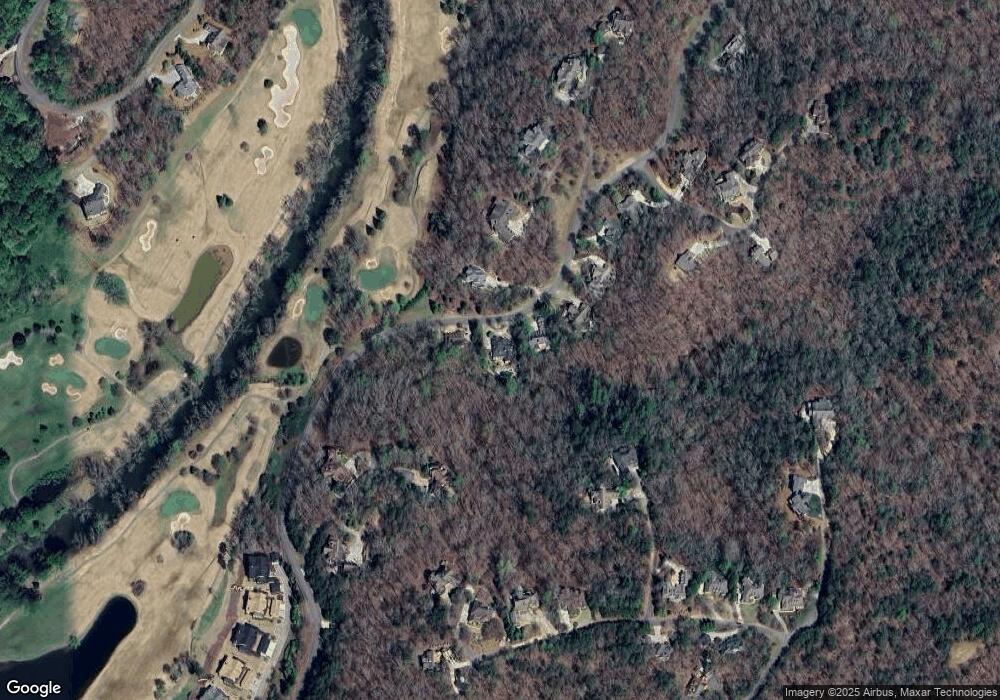
1276 Birch River Dr Unit 321 Dahlonega, GA 30533
Estimated Value: $1,082,000 - $1,928,000
5
Beds
6
Baths
6,829
Sq Ft
$234/Sq Ft
Est. Value
About This Home
This home is located at 1276 Birch River Dr Unit 321, Dahlonega, GA 30533 and is currently estimated at $1,600,269, approximately $234 per square foot. 1276 Birch River Dr Unit 321 is a home located in Lumpkin County with nearby schools including Clay County Middle School and Lumpkin County High School.
Ownership History
Date
Name
Owned For
Owner Type
Purchase Details
Closed on
Jul 17, 2024
Sold by
Proving Ground Investments Llc
Bought by
Ofarrell Hugh and Ofarrell Susan
Current Estimated Value
Purchase Details
Closed on
Dec 13, 2022
Sold by
Martin Jeffrey
Bought by
Proving Ground Investments Llc
Purchase Details
Closed on
May 31, 2022
Sold by
Martin Elizabeth M
Bought by
Martin Jeffrey Marshall
Purchase Details
Closed on
Sep 3, 2021
Sold by
Moye Norm
Bought by
Martin Jeffrey David and Martin Elizabeth M
Purchase Details
Closed on
Sep 5, 2002
Sold by
Owens Valley
Bought by
Moye Norm and Moye Angela
Purchase Details
Closed on
Dec 18, 2000
Sold by
Owens Valley Farm Lp
Bought by
Moye Norm and Moye Angela
Purchase Details
Closed on
Apr 17, 1998
Bought by
Owens Valley Farm Lp
Create a Home Valuation Report for This Property
The Home Valuation Report is an in-depth analysis detailing your home's value as well as a comparison with similar homes in the area
Home Values in the Area
Average Home Value in this Area
Purchase History
| Date | Buyer | Sale Price | Title Company |
|---|---|---|---|
| Ofarrell Hugh | $1,590,000 | -- | |
| Proving Ground Investments Llc | -- | -- | |
| Martin Jeffrey Marshall | -- | -- | |
| Martin Jeffrey David | $1,150,000 | -- | |
| Moye Norm | -- | -- | |
| Moye Norm | $80,000 | -- | |
| Owens Valley Farm Lp | -- | -- |
Source: Public Records
Tax History Compared to Growth
Tax History
| Year | Tax Paid | Tax Assessment Tax Assessment Total Assessment is a certain percentage of the fair market value that is determined by local assessors to be the total taxable value of land and additions on the property. | Land | Improvement |
|---|---|---|---|---|
| 2024 | $15,444 | $502,691 | $12,000 | $490,691 |
| 2023 | $13,880 | $481,522 | $12,000 | $469,522 |
| 2022 | $13,778 | $451,006 | $12,000 | $439,006 |
| 2021 | $5,092 | $251,360 | $12,000 | $239,360 |
| 2020 | $5,152 | $247,295 | $12,000 | $235,295 |
| 2019 | $5,459 | $255,295 | $20,000 | $235,295 |
| 2018 | $5,080 | $233,900 | $27,690 | $206,210 |
| 2017 | $4,992 | $228,705 | $27,690 | $201,015 |
| 2016 | $4,734 | $218,386 | $27,690 | $190,696 |
| 2015 | $3,983 | $218,385 | $27,690 | $190,696 |
| 2014 | $3,983 | $221,220 | $27,690 | $193,531 |
| 2013 | -- | $233,568 | $36,888 | $196,680 |
Source: Public Records
Map
Nearby Homes
- 1259 Birch River Dr
- 48 Kasten Run
- 179 Golden Bear Pass
- 448 Golden Bear Pass
- 176 Stamp Mill Ln
- 1113 Kiliahote Pass
- 1045 Bear Paw Ridge
- 1040 Bear Paw Ridge
- 1034 Bear Paw Ridge
- 1038 Bear Paw Ridge
- 1036 Bear Paw Ridge
- 1048 Bear Paw Ridge
- 1028 Bear Paw Ridge
- 133 Stamp Mill Dr
- 0 Stamp Mill Dr
- 1024 Bear Paw Ridge
- 45 Overlook Cove
- 47 Overlook Cove
- 51 Overlook Cove
- 55 Overlook Cove
- 1276 Birch River Dr
- 1240 Birch River Dr
- 1296 Birch River Dr
- 1314 Birch River Dr Unit 319
- 1314 Birch River Dr
- 1336 Birch River Dr
- 99 Rocker Dr Unit 209
- 99 Rocker Dr
- 68 Kasten Run
- 1364 Birch River Dr
- 91 Miners Run
- 71 Miners Run
- 67 Rocker Dr
- 20 Sautee Ct
- 68 Sautee Ct
- 68 Sautee Ct Unit 315
- 39 Miners Run
- 45 Miners Place
- 134 Placer Dr
- 28 Rocker Dr
