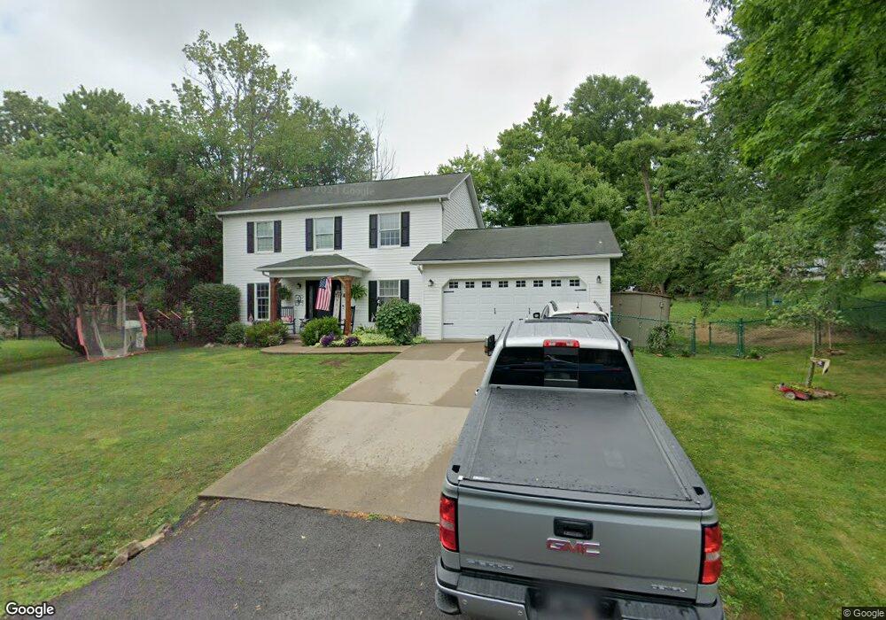
1276 Forman Dr Morgantown, WV 26508
Brookhaven NeighborhoodEstimated Value: $311,000 - $352,000
3
Beds
3
Baths
1,784
Sq Ft
$189/Sq Ft
Est. Value
About This Home
This home is located at 1276 Forman Dr, Morgantown, WV 26508 and is currently estimated at $336,862, approximately $188 per square foot. 1276 Forman Dr is a home located in Monongalia County with nearby schools including Brookhaven Elementary School, South Middle School, and Morgantown High School.
Ownership History
Date
Name
Owned For
Owner Type
Purchase Details
Closed on
Nov 23, 2007
Sold by
Gyorko Timothy C and Gyorko Rebecca D
Bought by
Wells Fargo Financial West Virginia Inc
Current Estimated Value
Purchase Details
Closed on
Oct 24, 2005
Sold by
Luxemburg Leon
Bought by
Gyorko Timothy C and Gyorko Rebecca D
Home Financials for this Owner
Home Financials are based on the most recent Mortgage that was taken out on this home.
Original Mortgage
$189,000
Interest Rate
5.93%
Mortgage Type
New Conventional
Create a Home Valuation Report for This Property
The Home Valuation Report is an in-depth analysis detailing your home's value as well as a comparison with similar homes in the area
Home Values in the Area
Average Home Value in this Area
Purchase History
| Date | Buyer | Sale Price | Title Company |
|---|---|---|---|
| Wells Fargo Financial West Virginia Inc | $155,907 | None Available | |
| Gyorko Timothy C | $189,000 | None Available |
Source: Public Records
Mortgage History
| Date | Status | Borrower | Loan Amount |
|---|---|---|---|
| Previous Owner | Gyorko Timothy C | $189,000 |
Source: Public Records
Tax History Compared to Growth
Tax History
| Year | Tax Paid | Tax Assessment Tax Assessment Total Assessment is a certain percentage of the fair market value that is determined by local assessors to be the total taxable value of land and additions on the property. | Land | Improvement |
|---|---|---|---|---|
| 2024 | $1,418 | $127,560 | $34,680 | $92,880 |
| 2023 | $1,359 | $127,560 | $34,680 | $92,880 |
| 2022 | $1,290 | $125,880 | $34,680 | $91,200 |
| 2021 | $1,247 | $121,080 | $34,680 | $86,400 |
| 2020 | $1,262 | $122,040 | $34,680 | $87,360 |
| 2019 | $1,271 | $122,040 | $34,680 | $87,360 |
| 2018 | $1,286 | $123,000 | $34,680 | $88,320 |
| 2017 | $1,271 | $121,020 | $32,700 | $88,320 |
| 2016 | $1,262 | $119,400 | $30,120 | $89,280 |
| 2015 | $1,185 | $117,180 | $27,900 | $89,280 |
| 2014 | $1,096 | $113,700 | $25,620 | $88,080 |
Source: Public Records
Map
Nearby Homes
- 304 Salonika Dr
- 205 Pixler Hill Rd
- 36 Dellslow Ln
- B7-R Meadowland Dr
- B-5R Meadowland Dr
- N-2 Lemley St
- N-1 Lemley St
- 142 Vecchio Ln
- Lot 6 Ices Ferry Estates
- 116 Corkrean Way
- 374 Brookhaven Rd
- 000 Bowers Ln
- 3110 Sylvan Dr
- 118 Park Place Dr
- 210 Josephine Dr
- 207 Josephine Dr
- 109 Trevilla Ave
- 3392 Earl L Core Rd
- 16 Reyes Ln
- Lot 8 Brookdale Dr
- 1274 Forman Dr
- 1278 Forman Dr
- 1235 Forman Dr
- 1275 Forman Dr
- 1273 Forman Dr
- 1277 Forman Dr
- 1280 Forman Dr
- 1280 Forman Dr
- 1450 Brookhaven Rd
- 1094 Brookings Dr
- 1271 Forman Dr
- 1188 Lehigh Dr
- 1190 Lehigh Dr
- 1096 Brookings Dr
- 1279 Forman Dr
- 1090 Brookings Dr
- 1192 Lehigh Dr
- 1282 Forman Dr
- 1098 Brookings Dr
- 1194 Lehigh Dr