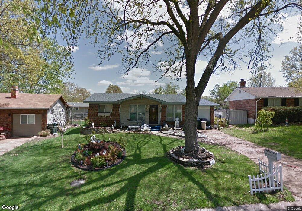
1276 Los Olas Blvd Arnold, MO 63010
Estimated Value: $191,887 - $276,000
--
Bed
--
Bath
1,364
Sq Ft
$174/Sq Ft
Est. Value
About This Home
This home is located at 1276 Los Olas Blvd, Arnold, MO 63010 and is currently estimated at $237,222, approximately $173 per square foot. 1276 Los Olas Blvd is a home located in Jefferson County with nearby schools including Rockport Heights Elementary School, Fox Middle School, and Fox Senior High School.
Ownership History
Date
Name
Owned For
Owner Type
Purchase Details
Closed on
Mar 21, 2011
Sold by
Province Harold A and Province Sandra L
Bought by
Province Harold A and Province Sandra L
Current Estimated Value
Home Financials for this Owner
Home Financials are based on the most recent Mortgage that was taken out on this home.
Original Mortgage
$55,000
Interest Rate
5.04%
Mortgage Type
New Conventional
Create a Home Valuation Report for This Property
The Home Valuation Report is an in-depth analysis detailing your home's value as well as a comparison with similar homes in the area
Home Values in the Area
Average Home Value in this Area
Purchase History
| Date | Buyer | Sale Price | Title Company |
|---|---|---|---|
| Province Harold A | -- | Security Title |
Source: Public Records
Mortgage History
| Date | Status | Borrower | Loan Amount |
|---|---|---|---|
| Closed | Province Harold A | $55,000 |
Source: Public Records
Tax History Compared to Growth
Tax History
| Year | Tax Paid | Tax Assessment Tax Assessment Total Assessment is a certain percentage of the fair market value that is determined by local assessors to be the total taxable value of land and additions on the property. | Land | Improvement |
|---|---|---|---|---|
| 2025 | $1,224 | $18,800 | $2,700 | $16,100 |
| 2024 | $1,224 | $17,500 | $2,700 | $14,800 |
| 2023 | $1,224 | $17,500 | $2,700 | $14,800 |
| 2022 | $1,248 | $17,500 | $2,700 | $14,800 |
| 2021 | $1,248 | $17,500 | $2,700 | $14,800 |
| 2020 | $1,173 | $15,600 | $2,300 | $13,300 |
| 2019 | $1,176 | $15,600 | $2,300 | $13,300 |
| 2018 | $1,169 | $15,600 | $2,300 | $13,300 |
| 2017 | $1,186 | $15,600 | $2,300 | $13,300 |
| 2016 | $986 | $13,900 | $2,300 | $11,600 |
| 2015 | $989 | $13,900 | $2,300 | $11,600 |
| 2013 | -- | $13,600 | $2,300 | $11,300 |
Source: Public Records
Map
Nearby Homes
- 3270 Bayvue Blvd
- 1322 Rockwood Forest Dr
- 3428 Rockwood Forest Ct
- 3444 Rockwood Forest Ct
- Lot 2 Baeumners Second Subdivision
- Lot 1
- 164 Bogey Blvd
- 170 Bogey Blvd
- 4130 Brook Ridge Dr
- 1310 Apollo Dr
- 3529 Swan Cir S
- 18 Pleasant Valley Terrace
- 7405 Shadow Point Dr
- 7474 Shadow Point Dr
- 0 Unknown Unit 22071145
- 0 Unknown Unit 22071129
- 0 Unknown Unit 22071117
- 0 Unknown Unit 22001753
- 0 Unknown Unit 22001740
- 0 Unknown Unit 22001730
- 1272 Los Olas Blvd
- 1288 Los Olas Blvd
- 1268 Los Olas Blvd
- 1273 Bal Harbor Dr
- 1277 Bal Harbor Dr
- 1269 Bal Harbor Dr
- 3343 Bayshore Pkwy
- 1265 Bal Harbor Dr
- 3349 Bayshore Pkwy
- 3327 Bayshore Pkwy
- 1279 Los Olas Blvd
- 1264 Los Olas Blvd
- 1263 Bal Harbor Dr
- 1269 Los Olas Blvd
- 1261 Bal Harbor Dr
- 1260 Los Olas Blvd
- 3333 Bayshore Pkwy
- 3323 Bayshore Pkwy
- 1272 Bal Harbor Dr
- 1276 Bal Harbor Dr