1276 N 35th Rd Ottawa, IL 61350
Estimated Value: $289,815 - $438,000
4
Beds
2
Baths
2,800
Sq Ft
$135/Sq Ft
Est. Value
About This Home
This home is located at 1276 N 35th Rd, Ottawa, IL 61350 and is currently estimated at $378,954, approximately $135 per square foot. 1276 N 35th Rd is a home located in LaSalle County with nearby schools including Wallace Elementary School and Ottawa Township High School.
Ownership History
Date
Name
Owned For
Owner Type
Purchase Details
Closed on
Jun 15, 2021
Sold by
Robinson Ronald and Robinson Angela
Bought by
Robinson Ronald and Angela Robinson Trust
Current Estimated Value
Purchase Details
Closed on
Jun 7, 2013
Sold by
Robinson Ronald G
Bought by
Robinson Ronald G and Robinson Angela K
Home Financials for this Owner
Home Financials are based on the most recent Mortgage that was taken out on this home.
Original Mortgage
$56,000
Interest Rate
2.52%
Mortgage Type
New Conventional
Create a Home Valuation Report for This Property
The Home Valuation Report is an in-depth analysis detailing your home's value as well as a comparison with similar homes in the area
Home Values in the Area
Average Home Value in this Area
Purchase History
| Date | Buyer | Sale Price | Title Company |
|---|---|---|---|
| Robinson Ronald | -- | None Available | |
| Robinson Ronald G | -- | None Available |
Source: Public Records
Mortgage History
| Date | Status | Borrower | Loan Amount |
|---|---|---|---|
| Closed | Robinson Ronald G | $56,000 |
Source: Public Records
Tax History Compared to Growth
Tax History
| Year | Tax Paid | Tax Assessment Tax Assessment Total Assessment is a certain percentage of the fair market value that is determined by local assessors to be the total taxable value of land and additions on the property. | Land | Improvement |
|---|---|---|---|---|
| 2024 | $6,713 | $93,352 | $10,713 | $82,639 |
| 2023 | $5,950 | $82,459 | $9,463 | $72,996 |
| 2022 | $5,456 | $75,243 | $8,635 | $66,608 |
| 2021 | $5,240 | $71,934 | $8,255 | $63,679 |
| 2020 | $4,863 | $67,499 | $7,746 | $59,753 |
| 2019 | $4,492 | $62,280 | $7,147 | $55,133 |
| 2018 | $4,011 | $56,108 | $6,439 | $49,669 |
| 2017 | $3,946 | $55,383 | $6,356 | $49,027 |
| 2016 | $4,288 | $54,431 | $6,247 | $48,184 |
| 2015 | $2,190 | $55,541 | $6,374 | $49,167 |
| 2012 | -- | $60,488 | $6,942 | $53,546 |
Source: Public Records
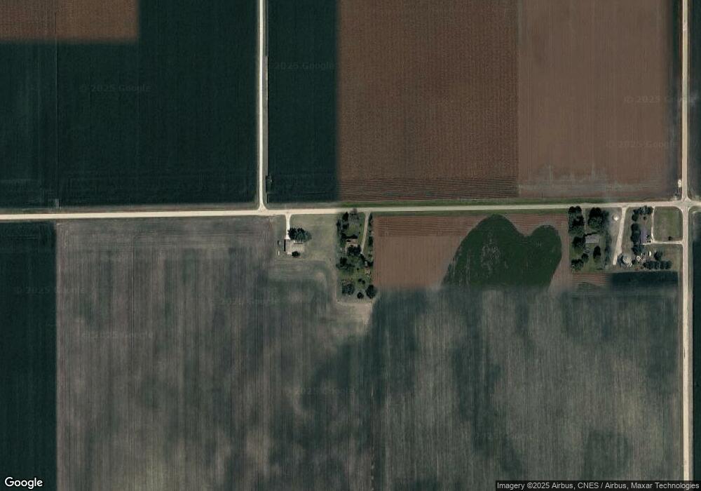
Map
Nearby Homes
- 3770 E 1050th Rd
- 3307 N State Route 23
- 1495 N 3025 Rd
- Lot 3607 E 1769 Rd
- 3016 E 1489th Rd
- 2959 N Illinois 178 E 8th Rd
- 29XX Il Rt 178 Hwy
- 00 E 8th Rd
- 1487 N 2975th Rd
- 2954 E 1479th Rd
- 2961 E 1489th Rd
- 2950 E 1479 Rd
- 2951 E 1489th Rd
- SWC E Stevenson & Burmac Rd
- NWC E Stevenson & Mbl Dr
- 0 N 29th Rd Unit MRD12223041
- 2957 E 1489th Rd
- 2971 E 1489th Rd
- Lot 25 Andrew Ct at Seminole Dr
- 1638 Timber Ln