J
Seller's Agent in 2014
Jeffrey Miller
Realty Executives
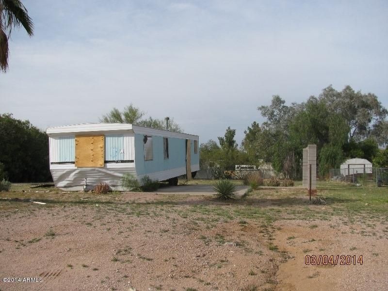

REDUCED FOR IMMEDIATE SALE! EXCELLENT APACHE JUNCTION BUYER OPPORTUNITY! LOCATED ON INTERIOR STREET (3 LOTS IN FROM DELWARE). THIS VACANT PARCEL IS READY FOR YOUR NEW MANF HOME! SUBMIT ALL CASH ONLY OFFERS NOW FOR SELLER REVIEW & APPROVAL. NO CLUE REPORT OR SPDS BY SELLER.
Last Agent to Sell the Property
Jeffrey Miller
AZ Brokerage Holdings, LLC License #SA020707000 Listed on: 05/27/2014
Co-Listed By
Ruth Miller
AZ Brokerage Holdings, LLC License #SA029192000
| Date | Event | Price | List to Sale | Price per Sq Ft |
|---|---|---|---|---|
| 08/08/2014 08/08/14 | Sold | $14,000 | -6.7% | $13 / Sq Ft |
| 07/09/2014 07/09/14 | Pending | -- | -- | -- |
| 05/22/2014 05/22/14 | For Sale | $15,000 | -- | $13 / Sq Ft |
| Year | Tax Paid | Tax Assessment Tax Assessment Total Assessment is a certain percentage of the fair market value that is determined by local assessors to be the total taxable value of land and additions on the property. | Land | Improvement |
|---|---|---|---|---|
| 2025 | -- | -- | -- | -- |
| 2024 | $0 | -- | -- | -- |
| 2023 | $0 | $6,484 | $6,230 | $254 |
| 2022 | $0 | $3,190 | $2,948 | $242 |
| 2021 | $126 | $3,192 | $0 | $0 |
| 2020 | $360 | $3,192 | $0 | $0 |
| 2019 | $294 | $1,854 | $0 | $0 |
| 2018 | $289 | $1,849 | $0 | $0 |
| 2017 | $296 | $1,851 | $0 | $0 |
| 2016 | $316 | $1,932 | $1,600 | $332 |
| 2014 | $331 | $1,936 | $1,400 | $536 |
J
Seller's Agent in 2014
Jeffrey Miller
Realty Executives
R
Seller Co-Listing Agent in 2014
Ruth Miller
Realty Executives

Buyer's Agent in 2014
Sharon Vincent
Realty Executives
(623) 826-4963
64 Total Sales
S
Buyer's Agent in 2014
Sharon Vincent-Carpenter
Realty Executives
Source: Arizona Regional Multiple Listing Service (ARMLS)
MLS Number: 5121493
Disclaimer: Certain information contained herein is derived from information provided by parties other than Homes.com. All information provided is deemed reliable, but is not guaranteed to be accurate and should be independently verified.
![]() All information should be verified by the recipient and none is guaranteed as accurate by ARMLS
All information should be verified by the recipient and none is guaranteed as accurate by ARMLS
Listing Information presented by local MLS brokerage: Ten-X, local REALTOR®- Arlene Richardson - (888)-952-6393
Ask me questions while you tour the home.