Estimated Value: $53,000 - $299,000
5
Beds
5
Baths
5,634
Sq Ft
$26/Sq Ft
Est. Value
About This Home
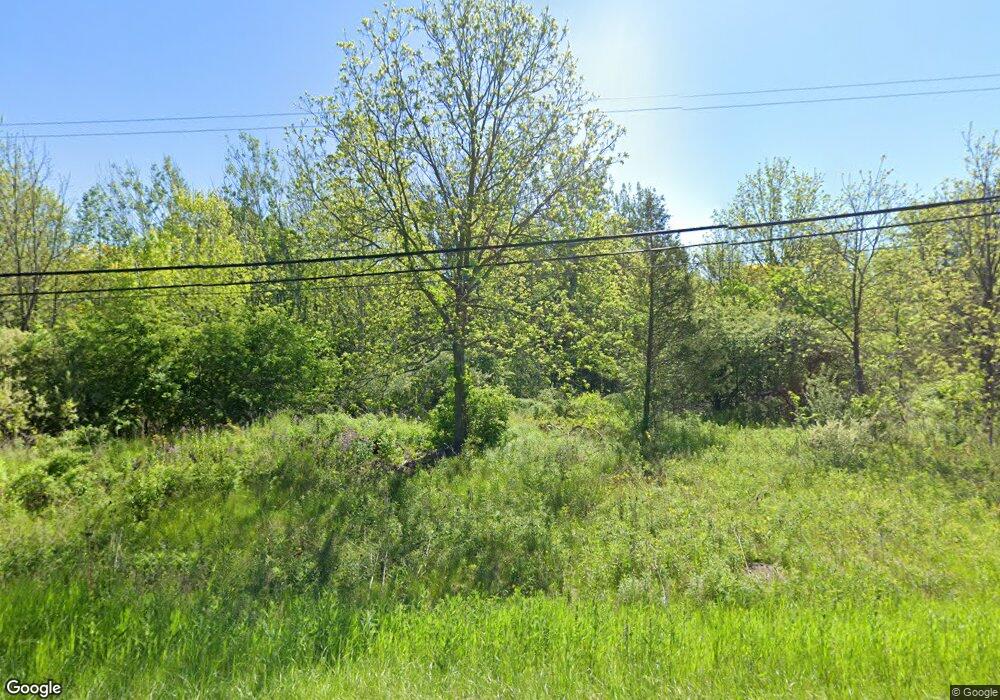
This home is located at 1276 N Dye Rd, Flint, MI 48532 and is currently estimated at $148,448, approximately $26 per square foot. 1276 N Dye Rd is a home located in Genesee County with nearby schools including Carman-Ainsworth High School, Genesee STEM Academy, and Linden Charter Academy.
Ownership History
Date
Name
Owned For
Owner Type
Purchase Details
Closed on
Jun 28, 2024
Sold by
Brown Scot K
Bought by
Lahgos Llc
Current Estimated Value
Purchase Details
Closed on
Jul 30, 2014
Sold by
Jpmorgan Chase Bank National Association
Bought by
Brown Scot K
Purchase Details
Closed on
Aug 29, 2012
Sold by
Williams Matilda E
Bought by
Jpmorgan Chase Bank National Association
Purchase Details
Closed on
Sep 13, 2000
Sold by
Williams Matilda E
Bought by
Norwest Bank Minnesota Na
Create a Home Valuation Report for This Property
The Home Valuation Report is an in-depth analysis detailing your home's value as well as a comparison with similar homes in the area
Home Values in the Area
Average Home Value in this Area
Purchase History
| Date | Buyer | Sale Price | Title Company |
|---|---|---|---|
| Lahgos Llc | $50,000 | Cislo Title | |
| Brown Scot K | $52,500 | Fidelity National Title | |
| Jpmorgan Chase Bank National Association | $167,831 | None Available | |
| Norwest Bank Minnesota Na | $284,750 | -- |
Source: Public Records
Tax History Compared to Growth
Tax History
| Year | Tax Paid | Tax Assessment Tax Assessment Total Assessment is a certain percentage of the fair market value that is determined by local assessors to be the total taxable value of land and additions on the property. | Land | Improvement |
|---|---|---|---|---|
| 2025 | $1,553 | $29,400 | $0 | $0 |
| 2024 | $1,469 | $29,100 | $0 | $0 |
| 2023 | $927 | $28,000 | $0 | $0 |
| 2022 | $510 | $27,300 | $0 | $0 |
| 2021 | $500 | $27,000 | $0 | $0 |
| 2020 | $968 | $26,900 | $0 | $0 |
| 2019 | $4,409 | $137,100 | $0 | $0 |
| 2018 | $6,266 | $124,200 | $0 | $0 |
| 2017 | $6,074 | $124,200 | $0 | $0 |
| 2016 | $6,174 | $117,500 | $0 | $0 |
| 2015 | $5,961 | $103,500 | $0 | $0 |
| 2014 | $4,716 | $115,000 | $0 | $0 |
| 2012 | -- | $108,300 | $108,300 | $0 |
Source: Public Records
Map
Nearby Homes
- 1391 Dye Krest Cir
- 1246 Dyemeadow Ln
- 5104 Shady Oak Trail
- 1194 Woodkrest Dr
- 1159 N Linden Rd
- 5021 Forest Side Dr
- 5551 Sugar Bush Ln
- 2008 Beekman Ct
- 5297 Oaktree Dr
- 5411 River Meadow Blvd
- 1090 Cabot Dr
- 6088 Sierra Pass
- 5442 Meadow Creek Ct
- 5325 N Dyewood Dr
- 1307 Springborrow Dr
- 6123 E River Rd
- 2218 Disch St
- Covered Wagons Trail Covered Wagons Trail
- 6142 Noel Dr
- Integrity 1880 Plan at Country Ridge of Flint
- 1277 Dyemeadow Ln
- 1302 N Dye Rd
- 1267 Dyemeadow Ln
- 1287 Dyemeadow Ln
- 1253 Dyemeadow Ln
- 1238 N Dye Rd
- 1238 N Dye Rd
- 5150 Dye Hill Ct
- 1334 N Dye Rd
- 1241 Dyemeadow Ln
- 1310 Maplekrest Dr
- 1218 N Dye Rd
- 1286 Dyemeadow Ln
- 1215 Thornwood Ct
- 5136 Dye Hill Ct
- 5141 Dyemeadow Ct
- 1327 Dyemeadow Ln
- 1375 Dye Krest Cir
- 1240 Dyemeadow Ln
- 1286 Maplekrest Dr
