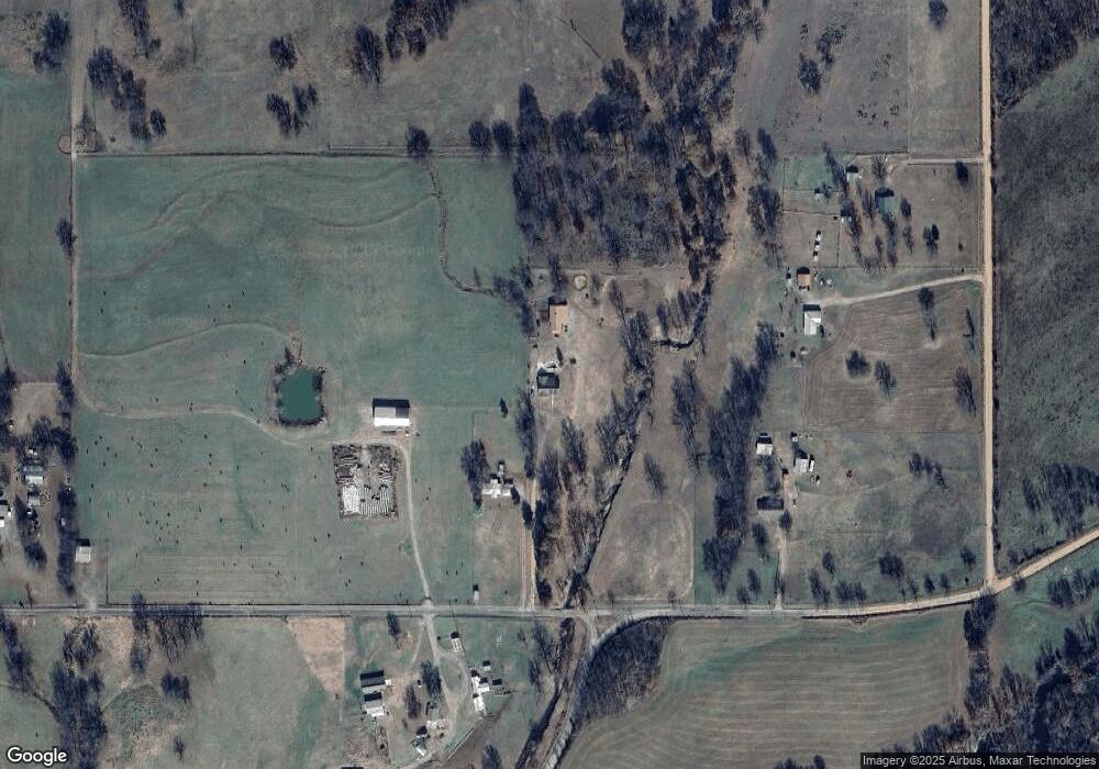
12760 W 800 Rd Tahlequah, OK 74464
Estimated Value: $262,000 - $327,687
3
Beds
2
Baths
1,850
Sq Ft
$161/Sq Ft
Est. Value
About This Home
This home is located at 12760 W 800 Rd, Tahlequah, OK 74464 and is currently estimated at $297,422, approximately $160 per square foot. 12760 W 800 Rd is a home located in Cherokee County with nearby schools including Hulbert Elementary School, Hulbert Jr./Sr. High School, and Hulbert Senior High School.
Ownership History
Date
Name
Owned For
Owner Type
Purchase Details
Closed on
May 21, 2007
Sold by
Keys Nancy Marie and Keys Nancy M
Bought by
Zodrow Alicia M and Zodrow Nicklaus D
Current Estimated Value
Create a Home Valuation Report for This Property
The Home Valuation Report is an in-depth analysis detailing your home's value as well as a comparison with similar homes in the area
Home Values in the Area
Average Home Value in this Area
Purchase History
| Date | Buyer | Sale Price | Title Company |
|---|---|---|---|
| Zodrow Alicia M | $18,500 | Chicago Title Insurance |
Source: Public Records
Tax History Compared to Growth
Tax History
| Year | Tax Paid | Tax Assessment Tax Assessment Total Assessment is a certain percentage of the fair market value that is determined by local assessors to be the total taxable value of land and additions on the property. | Land | Improvement |
|---|---|---|---|---|
| 2025 | $1,751 | $23,857 | $2,024 | $21,833 |
| 2024 | $1,751 | $22,720 | $1,927 | $20,793 |
| 2023 | $1,751 | $21,639 | $1,856 | $19,783 |
| 2022 | $1,686 | $21,639 | $1,856 | $19,783 |
| 2021 | $1,702 | $21,639 | $1,856 | $19,783 |
| 2020 | $1,682 | $21,249 | $1,856 | $19,393 |
| 2019 | $1,625 | $20,237 | $1,856 | $18,381 |
| 2018 | $1,645 | $20,237 | $1,856 | $18,381 |
| 2017 | $1,680 | $20,517 | $2,136 | $18,381 |
| 2016 | $1,660 | $20,063 | $3,504 | $16,559 |
| 2015 | $1,328 | $19,107 | $2,136 | $16,971 |
| 2014 | $1,328 | $19,107 | $2,136 | $16,971 |
Source: Public Records
Map
Nearby Homes
- 11396 W Joyce Ln
- 15451 W 791 Rd
- 14650 W 835 Rd
- 24481 S Manard Rd
- 22781 S 490 Rd
- 0 Hwy 62 Hwy Unit 2532149
- 0 Hwy 62 Hwy Unit 2532139
- 0 Hwy 62 Hwy Unit 2532141
- 0 Hwy 62 Hwy Unit 2532145
- 0 S 490 Rd
- 2 S 490 Rd
- 13670 W 834 Rd
- 16840 W Sierra Cir
- 16289 W 810 Rd
- 21098 S 495 Rd
- 12890 W Southern Oaks St
- 12910 W Southern Oaks St
- 21060 S 496 Rd
- 12219 U S 62
- 16605 W Sierra Cir
- 12708 W 800 Rd
- 12892 W 800 Rd
- 21781 S 460 Rd
- 12460 W 800 Rd
- 22394 S 457 Rd
- 12685 W 800 Rd
- 22441 S 457 Rd
- 21485 S 460 Rd
- 21427 S 460 Rd
- 12229 W 800 Rd
- 20721 S 465 Rd
- 13380 W Clyde Maher Rd
- 13292 W Clyde Maher Rd
- 21965 S Coos Thompson Rd
- 21827 S Coos Thompson Rd
- 13039 W Clyde Maher Rd
- 12623 W 790 Rd
- 20798 S 465 Rd
- 21328 S Coos Thompson Rd
- 21409 S Coos Thompson Rd
