12761 Root Rd Columbia Station, OH 44028
Estimated Value: $399,524 - $663,000
3
Beds
2
Baths
2,256
Sq Ft
$216/Sq Ft
Est. Value
About This Home
This home is located at 12761 Root Rd, Columbia Station, OH 44028 and is currently estimated at $486,381, approximately $215 per square foot. 12761 Root Rd is a home located in Lorain County with nearby schools including Copopa Elementary School, Columbia Middle School, and Columbia High School.
Ownership History
Date
Name
Owned For
Owner Type
Purchase Details
Closed on
Nov 16, 2017
Sold by
Taylor Jason A and Taylor Michele Joanne
Bought by
Taylor Jason A and Taylor Michele Joanne
Current Estimated Value
Purchase Details
Closed on
Oct 1, 2013
Sold by
Loving James R and Loving Emma
Bought by
Taylor Jason A and Taylor Jimmie S
Home Financials for this Owner
Home Financials are based on the most recent Mortgage that was taken out on this home.
Original Mortgage
$254,527
Outstanding Balance
$189,358
Interest Rate
4.4%
Mortgage Type
FHA
Estimated Equity
$297,023
Create a Home Valuation Report for This Property
The Home Valuation Report is an in-depth analysis detailing your home's value as well as a comparison with similar homes in the area
Home Values in the Area
Average Home Value in this Area
Purchase History
| Date | Buyer | Sale Price | Title Company |
|---|---|---|---|
| Taylor Jason A | -- | -- | |
| Taylor Jason A | $259,300 | Guardian Title |
Source: Public Records
Mortgage History
| Date | Status | Borrower | Loan Amount |
|---|---|---|---|
| Open | Taylor Jason A | $254,527 | |
| Closed | Taylor Jason A | $0 |
Source: Public Records
Tax History Compared to Growth
Tax History
| Year | Tax Paid | Tax Assessment Tax Assessment Total Assessment is a certain percentage of the fair market value that is determined by local assessors to be the total taxable value of land and additions on the property. | Land | Improvement |
|---|---|---|---|---|
| 2024 | $4,840 | $110,779 | $43,043 | $67,736 |
| 2023 | $4,748 | $94,787 | $39,421 | $55,367 |
| 2022 | $4,633 | $94,787 | $39,421 | $55,367 |
| 2021 | $4,679 | $94,787 | $39,421 | $55,367 |
| 2020 | $4,522 | $82,210 | $34,190 | $48,020 |
| 2019 | $4,496 | $82,210 | $34,190 | $48,020 |
| 2018 | $4,534 | $82,210 | $34,190 | $48,020 |
| 2017 | $3,809 | $64,130 | $27,610 | $36,520 |
| 2016 | $3,836 | $64,130 | $27,610 | $36,520 |
| 2015 | $3,837 | $64,130 | $27,610 | $36,520 |
| 2014 | $3,861 | $64,130 | $27,610 | $36,520 |
| 2013 | $3,351 | $64,130 | $27,610 | $36,520 |
Source: Public Records
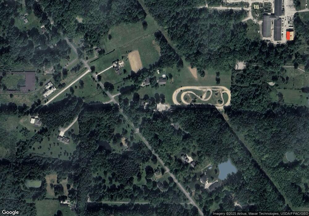
Map
Nearby Homes
- 26271 Royalton Rd
- 23663 Victory Ln
- 25931 Royalton Rd
- 33932 Abercorn Place
- 33964 Abercorn Place
- 33621 Henwell Rd
- 33700 Henwell Rd
- 33743 Henwell Rd
- 11834 W River Rd
- 26571 Sprague Rd
- 23855 W Rim Dr
- 9954 Ethan Dr
- 9628 Kingston Trail
- 0 Cowley Rd Unit 5171639
- 10990 Reed Rd
- 27167 Watkin Rd
- 27056 Sprague Rd
- 34691 N Legends Way
- 0 Sprague Rd
- 17421 Honeysuckle Ln