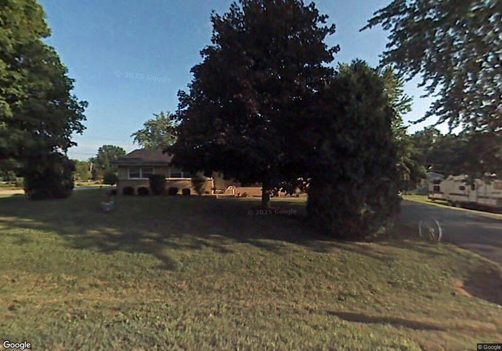
12761 W 28th St Beach Park, IL 60099
Estimated Value: $315,000 - $412,000
3
Beds
2
Baths
1,560
Sq Ft
$223/Sq Ft
Est. Value
About This Home
This home is located at 12761 W 28th St, Beach Park, IL 60099 and is currently estimated at $348,546, approximately $223 per square foot. 12761 W 28th St is a home located in Lake County with nearby schools including Kenneth Murphy School, Beach Park Middle School, and Zion-Benton Township High School.
Ownership History
Date
Name
Owned For
Owner Type
Purchase Details
Closed on
May 30, 1997
Sold by
Freeman Eddie C and Freeman Opaletta
Bought by
Spencer Patrick D and Spencer Mary K
Current Estimated Value
Home Financials for this Owner
Home Financials are based on the most recent Mortgage that was taken out on this home.
Original Mortgage
$153,400
Outstanding Balance
$22,312
Interest Rate
8.17%
Estimated Equity
$326,234
Create a Home Valuation Report for This Property
The Home Valuation Report is an in-depth analysis detailing your home's value as well as a comparison with similar homes in the area
Home Values in the Area
Average Home Value in this Area
Purchase History
| Date | Buyer | Sale Price | Title Company |
|---|---|---|---|
| Spencer Patrick D | $161,500 | -- |
Source: Public Records
Mortgage History
| Date | Status | Borrower | Loan Amount |
|---|---|---|---|
| Open | Spencer Patrick D | $153,400 |
Source: Public Records
Tax History Compared to Growth
Tax History
| Year | Tax Paid | Tax Assessment Tax Assessment Total Assessment is a certain percentage of the fair market value that is determined by local assessors to be the total taxable value of land and additions on the property. | Land | Improvement |
|---|---|---|---|---|
| 2024 | $8,156 | $100,995 | $11,785 | $89,210 |
| 2023 | $7,725 | $91,202 | $11,377 | $79,825 |
| 2022 | $7,725 | $83,551 | $11,105 | $72,446 |
| 2021 | $7,050 | $72,755 | $10,823 | $61,932 |
| 2020 | $6,889 | $69,429 | $10,328 | $59,101 |
| 2019 | $6,876 | $65,872 | $9,799 | $56,073 |
| 2018 | $7,218 | $66,656 | $11,851 | $54,805 |
| 2017 | $7,161 | $62,706 | $11,149 | $51,557 |
| 2016 | $6,967 | $59,697 | $10,614 | $49,083 |
| 2015 | $6,745 | $54,748 | $9,734 | $45,014 |
| 2014 | $6,045 | $52,667 | $5,297 | $47,370 |
| 2012 | $6,098 | $54,731 | $5,505 | $49,226 |
Source: Public Records
Map
Nearby Homes
- 13051 Bucksburn Ct
- 39787 Torry Ln
- 39520 N Green Bay Rd
- 13129 W Shannon Dr
- 2414 Phillip Dr
- 13154 W Sheffield Ln
- 2407 Phillip Dr
- 42334 N Heritage Lot 7 Trail
- 39631 N Warren Ln Unit 4625
- 2407 Miriam Ave
- 2413 Michael Ave
- 39401 N Green Bay Rd
- 39616 N Warren Ln Unit 4824
- 13661 W Adams Rd
- 13551 W Adams Rd
- 13428 Victoria Ln
- 2031 Dawn Ln
- 39113 N Green Bay Rd
- 1916 Sunshine Ct
- 3404 Sarah Dr
- 12811 W 28th St
- 12774 W 28th Place
- 12774 W 28th St
- 12806 W 28th Place
- 12802 W 28th St
- 12737 W 28th St
- 12829 W 28th St
- 12976 W 28th Place
- 40155 N Adelphi Ave
- 12771 W 28th Place
- 12775 W 27th Place
- 12779 W 27th Place
- 12755 W 27th Place
- 12761 W 27th Place
- 12826 W 28th St
- 12765 W 27th Place
- 12771 W 27th Place
- 12737 W 28th Place
- 12853 W 28th St
- 12712 W 28th St