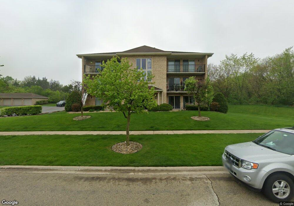
12764 Saint Andrews Ct Unit 410 Lemont, IL 60439
Southeast Lemont NeighborhoodEstimated Value: $227,000 - $395,000
2
Beds
2
Baths
1,200
Sq Ft
$242/Sq Ft
Est. Value
About This Home
This home is located at 12764 Saint Andrews Ct Unit 410, Lemont, IL 60439 and is currently estimated at $290,095, approximately $241 per square foot. 12764 Saint Andrews Ct Unit 410 is a home located in Cook County with nearby schools including Oakwood School, River Valley School, and Old Quarry Middle School.
Ownership History
Date
Name
Owned For
Owner Type
Purchase Details
Closed on
Jun 11, 2021
Sold by
Shroyer Ralph K and Shroyer Bonnie F
Bought by
Sb Real Estate Management Inc
Current Estimated Value
Purchase Details
Closed on
Jul 2, 2007
Sold by
Knopinski Angeline and Galasinski Frances S
Bought by
Shroyer Ralph K and Shroyer Bonnie F
Purchase Details
Closed on
Jun 8, 1999
Sold by
First National Bank Of Manhattan
Bought by
Knopinski Angeline and Maxian Frances S
Create a Home Valuation Report for This Property
The Home Valuation Report is an in-depth analysis detailing your home's value as well as a comparison with similar homes in the area
Home Values in the Area
Average Home Value in this Area
Purchase History
| Date | Buyer | Sale Price | Title Company |
|---|---|---|---|
| Sb Real Estate Management Inc | $212,500 | First American Title | |
| Shroyer Ralph K | $200,000 | First American Title | |
| Knopinski Angeline | $142,000 | -- |
Source: Public Records
Tax History Compared to Growth
Tax History
| Year | Tax Paid | Tax Assessment Tax Assessment Total Assessment is a certain percentage of the fair market value that is determined by local assessors to be the total taxable value of land and additions on the property. | Land | Improvement |
|---|---|---|---|---|
| 2024 | $3,811 | $18,338 | $474 | $17,864 |
| 2023 | $3,729 | $18,338 | $474 | $17,864 |
| 2022 | $3,729 | $15,359 | $1,625 | $13,734 |
| 2021 | $3,614 | $15,358 | $1,624 | $13,734 |
| 2020 | $2,324 | $15,358 | $1,624 | $13,734 |
| 2019 | $2,184 | $15,616 | $1,624 | $13,992 |
| 2018 | $2,146 | $15,616 | $1,624 | $13,992 |
| 2017 | $2,138 | $15,616 | $1,624 | $13,992 |
| 2016 | $2,648 | $15,499 | $1,353 | $14,146 |
| 2015 | $2,636 | $15,499 | $1,353 | $14,146 |
| 2014 | $2,684 | $15,499 | $1,353 | $14,146 |
| 2013 | $2,415 | $15,132 | $1,353 | $13,779 |
Source: Public Records
Map
Nearby Homes
- 15500 E 127th St
- 1341 Ashbury Cir
- 1224 Prairie Ln
- 1228 Prairie Ln Unit 4B
- 1228 Prairie Ln
- 1232 Prairie Ln Unit 5-A
- 1236 Prairie Ln Unit 5-B
- 1213 Prairie Ln
- 1408 Ashbury Dr
- 180 Grove Ct
- 173 Harper Ln
- 1201 Leinster Dr
- 1409 Notting Hill Dr
- 1382 Overton Dr
- Fremont Plan at Covington Knolls
- Eden Plan at Covington Knolls
- Danbury Plan at Covington Knolls
- Calysta Plan at Covington Knolls
- Briarcliffe Plan at Covington Knolls
- Amberwood Plan at Covington Knolls
- 12764 Saint Andrews Ct Unit G22
- 12764 Saint Andrews Ct Unit G23
- 12764 Saint Andrews Ct Unit G21
- 12764 Saint Andrews Ct Unit G20
- 12764 Saint Andrews Ct Unit G19
- 12764 Saint Andrews Ct Unit 430
- 12764 Saint Andrews Ct Unit 430
- 12764 Saint Andrews Ct Unit 420
- 12764 Saint Andrews Ct Unit 420
- 12764 Saint Andrews Ct Unit G24
- 12764 Saint Andrews Ct Unit 410
- 12796 Saint Andrews Ct Unit GAR
- 12796 Saint Andrews Ct Unit 510
- 12796 Saint Andrews Ct Unit 520
- 12796 Saint Andrews Ct Unit GAR
- 12796 Saint Andrews Ct Unit 520
- 12796 Saint Andrews Ct Unit GAR
- 12796 Saint Andrews Ct Unit GAR
- 12796 Saint Andrews Ct Unit GAR
- 12796 Saint Andrews Ct Unit 530