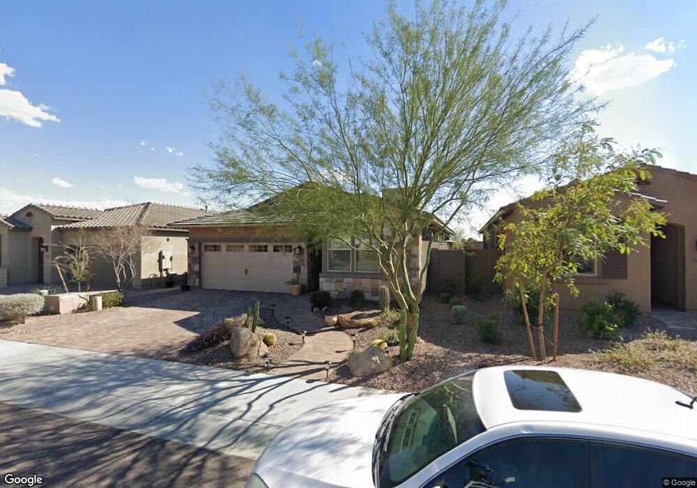
12769 W Burnside Trail Peoria, AZ 85383
Estimated Value: $453,022 - $535,000
--
Bed
--
Bath
1,841
Sq Ft
$272/Sq Ft
Est. Value
About This Home
This home is located at 12769 W Burnside Trail, Peoria, AZ 85383 and is currently estimated at $501,506, approximately $272 per square foot. 12769 W Burnside Trail is a home with nearby schools including Lake Pleasant Elementary School and Liberty High School.
Ownership History
Date
Name
Owned For
Owner Type
Purchase Details
Closed on
Jul 9, 2015
Sold by
Shea Homes Arizona Limited Partnership
Bought by
Labrado Dianne Roberta
Current Estimated Value
Home Financials for this Owner
Home Financials are based on the most recent Mortgage that was taken out on this home.
Original Mortgage
$227,904
Outstanding Balance
$134,606
Interest Rate
4.01%
Mortgage Type
New Conventional
Estimated Equity
$366,900
Create a Home Valuation Report for This Property
The Home Valuation Report is an in-depth analysis detailing your home's value as well as a comparison with similar homes in the area
Home Values in the Area
Average Home Value in this Area
Purchase History
| Date | Buyer | Sale Price | Title Company |
|---|---|---|---|
| Labrado Dianne Roberta | $253,227 | First American Title Ins Co |
Source: Public Records
Mortgage History
| Date | Status | Borrower | Loan Amount |
|---|---|---|---|
| Open | Labrado Dianne Roberta | $227,904 |
Source: Public Records
Tax History Compared to Growth
Tax History
| Year | Tax Paid | Tax Assessment Tax Assessment Total Assessment is a certain percentage of the fair market value that is determined by local assessors to be the total taxable value of land and additions on the property. | Land | Improvement |
|---|---|---|---|---|
| 2025 | $2,130 | $22,409 | -- | -- |
| 2024 | $2,122 | $21,342 | -- | -- |
| 2023 | $2,122 | $35,800 | $7,160 | $28,640 |
| 2022 | $2,108 | $28,860 | $5,770 | $23,090 |
| 2021 | $2,207 | $25,980 | $5,190 | $20,790 |
| 2020 | $2,206 | $24,830 | $4,960 | $19,870 |
| 2019 | $2,130 | $23,110 | $4,620 | $18,490 |
| 2018 | $2,114 | $21,520 | $4,300 | $17,220 |
| 2017 | $2,050 | $21,680 | $4,330 | $17,350 |
| 2016 | $1,732 | $19,260 | $3,850 | $15,410 |
| 2015 | $385 | $3,328 | $3,328 | $0 |
Source: Public Records
Map
Nearby Homes
- 12765 W Burnside Trail
- 12791 W Caraveo Place
- 12764 W Caraveo Place
- 12750 W Calle de Pompas
- 12687 W Caraveo Place
- 12646 W Cassia Trail
- 12951 W Ashler Hills Dr
- 12710 W Forest Pleasant Place
- 32083 N 126th Ave
- 32260 N 129th Ln
- 12573 W Caraveo Place
- 31828 N 126th Ave
- 12725 W Forest Pleasant Place
- 31705 N 128th Dr
- 32068 N 125th Ln
- 13757 W Forest Pleasant Place
- 12542 W Cassia Trail
- 12859 W Calle de Baca Dr
- 12502 W Cassia Trail
- 31626 N 129th Dr
- 12771 W Burnside Trail
- 12775 W Burnside Trail
- 12779 W Burnside Trail
- 12766 W Burnside Trail
- 12770 W Burnside Trail
- 12772 W Burnside Trail
- 12776 W Burnside Trail
- 12783 W Burnside Trail
- 12764 W Burnside Trail
- 12780 W Burnside Trail
- 12785 W Burnside Trail
- 12784 W Burnside Trail
- 32257 N 127th Ln
- 12789 W Burnside Trail
- 32265 N 127th Ln
- 12786 W Burnside Trail
- 12773 W Caraveo Place
- 12771 W Caraveo Place
- 12763 W Caraveo Place
- 12777 W Caraveo Place