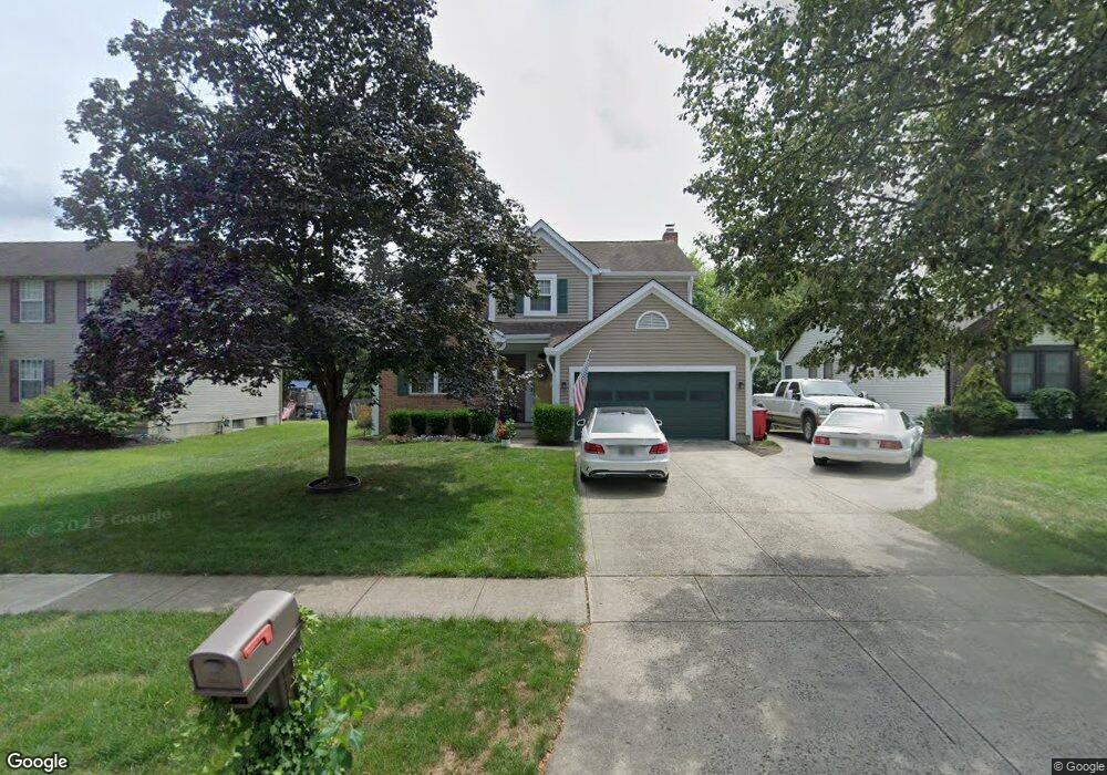
1277 Cloudstone Ct Grove City, OH 43123
Estimated Value: $383,271 - $398,000
4
Beds
3
Baths
1,954
Sq Ft
$201/Sq Ft
Est. Value
About This Home
This home is located at 1277 Cloudstone Ct, Grove City, OH 43123 and is currently estimated at $392,318, approximately $200 per square foot. 1277 Cloudstone Ct is a home located in Franklin County with nearby schools including Buckeye Woods Elementary School, Hayes Intermediate School, and Jackson Middle School.
Ownership History
Date
Name
Owned For
Owner Type
Purchase Details
Closed on
Mar 2, 2017
Sold by
Haydon Leland B
Bought by
Haydon Leland B and Leland B Haydon Trust
Current Estimated Value
Purchase Details
Closed on
Sep 19, 2012
Sold by
Haydon Lisa G
Bought by
Haydon Leland B
Purchase Details
Closed on
Jun 1, 1993
Bought by
Haydon Leland B and Haydon Lisa G
Purchase Details
Closed on
Feb 1, 1993
Purchase Details
Closed on
Aug 14, 1992
Create a Home Valuation Report for This Property
The Home Valuation Report is an in-depth analysis detailing your home's value as well as a comparison with similar homes in the area
Home Values in the Area
Average Home Value in this Area
Purchase History
| Date | Buyer | Sale Price | Title Company |
|---|---|---|---|
| Haydon Leland B | -- | None Available | |
| Haydon Leland B | -- | None Available | |
| Haydon Leland B | $129,200 | -- | |
| -- | $39,000 | -- | |
| -- | -- | -- |
Source: Public Records
Tax History Compared to Growth
Tax History
| Year | Tax Paid | Tax Assessment Tax Assessment Total Assessment is a certain percentage of the fair market value that is determined by local assessors to be the total taxable value of land and additions on the property. | Land | Improvement |
|---|---|---|---|---|
| 2024 | $4,880 | $107,310 | $31,500 | $75,810 |
| 2023 | $4,811 | $107,310 | $31,500 | $75,810 |
| 2022 | $4,579 | $75,080 | $13,650 | $61,430 |
| 2021 | $4,667 | $75,080 | $13,650 | $61,430 |
| 2020 | $4,652 | $75,080 | $13,650 | $61,430 |
| 2019 | $4,159 | $62,270 | $11,380 | $50,890 |
| 2018 | $2,072 | $62,270 | $11,380 | $50,890 |
| 2017 | $4,128 | $62,270 | $11,380 | $50,890 |
| 2016 | $4,194 | $57,860 | $12,500 | $45,360 |
| 2015 | $2,098 | $57,860 | $12,500 | $45,360 |
| 2014 | $4,198 | $57,860 | $12,500 | $45,360 |
| 2013 | $1,886 | $55,090 | $11,900 | $43,190 |
Source: Public Records
Map
Nearby Homes
- 1370 Wild Horse Dr
- 6295 Rising Sun Dr
- 6003 Windcliff Dr E
- 6259 Rising Sun Dr
- 1019 Morning Bird Ct
- 6090 Windcliff Dr E
- 6032 Sweet Basil Ln
- 6075 Sweet Basil Ln
- 6132 Windcliff Dr E
- 1016 Bumblebee End
- 6279 Honey Farm Way
- 6343 Honey Farm Way
- 6247 Honey Farm Way
- 6477 Buckeye Path Dr S
- 6229 Brookmeade Cir
- 1042 Queen Bee Place
- 5990 Sweet Basil Ln
- 5924 Morning Bird Ct
- 5976 Sweet Basil Ln
- 1571 Cree Ct
- 1287 Cloudstone Ct
- 1267 Cloudstone Ct
- 1274 Misty Pine Ct
- 1284 Misty Pine Ct
- 1297 Cloudstone Ct
- 1257 Cloudstone Ct
- 1264 Misty Pine Ct
- 1294 Red Bank Dr
- 1272 Cloudstone Ct
- 1282 Cloudstone Ct
- 1262 Cloudstone Ct
- 1307 Cloudstone Ct
- 1296 Red Bank Dr
- 1292 Cloudstone Ct
- 1254 Misty Pine Ct
- 1247 Cloudstone Ct
- 1302 Cloudstone Ct
- 1317 Cloudstone Ct
- 1306 Red Bank Dr
- 1312 Cloudstone Ct